Whitehill & Bordon; green-space wayfinding and placemaking
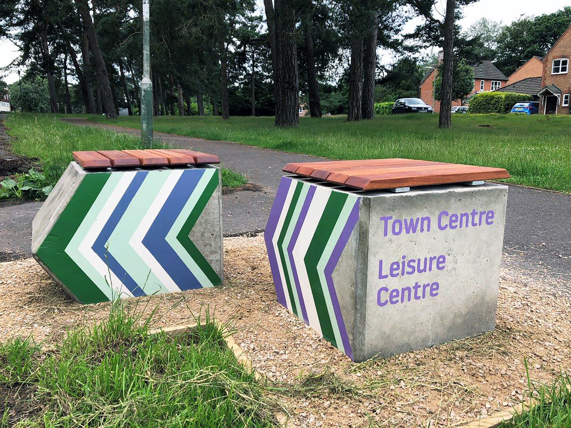
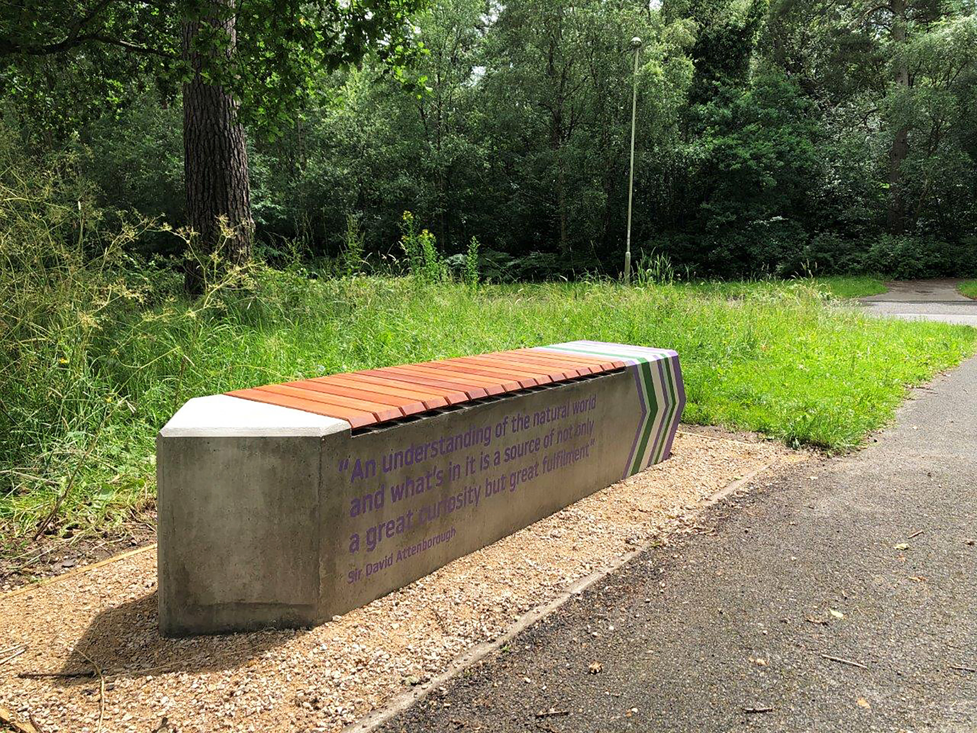
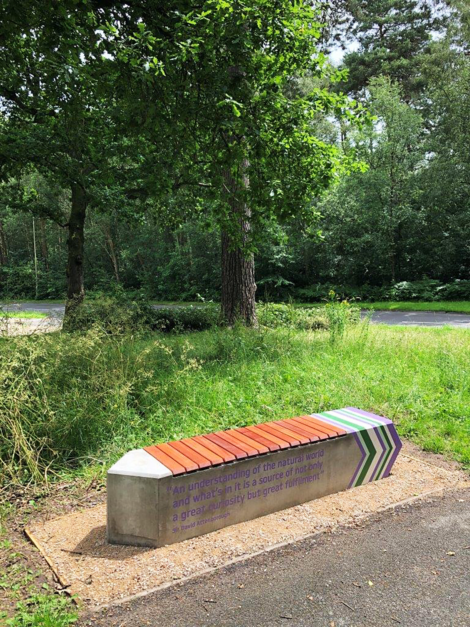
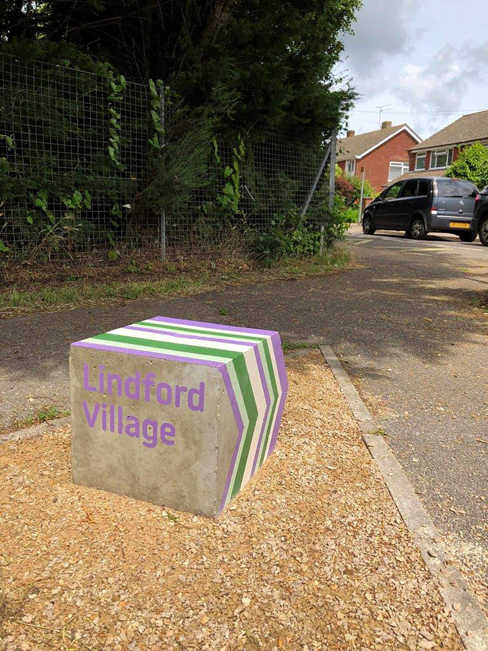
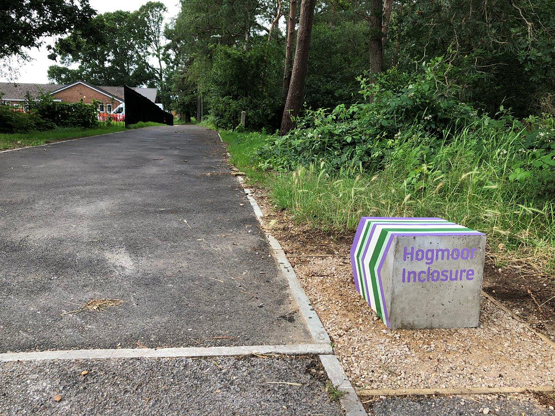
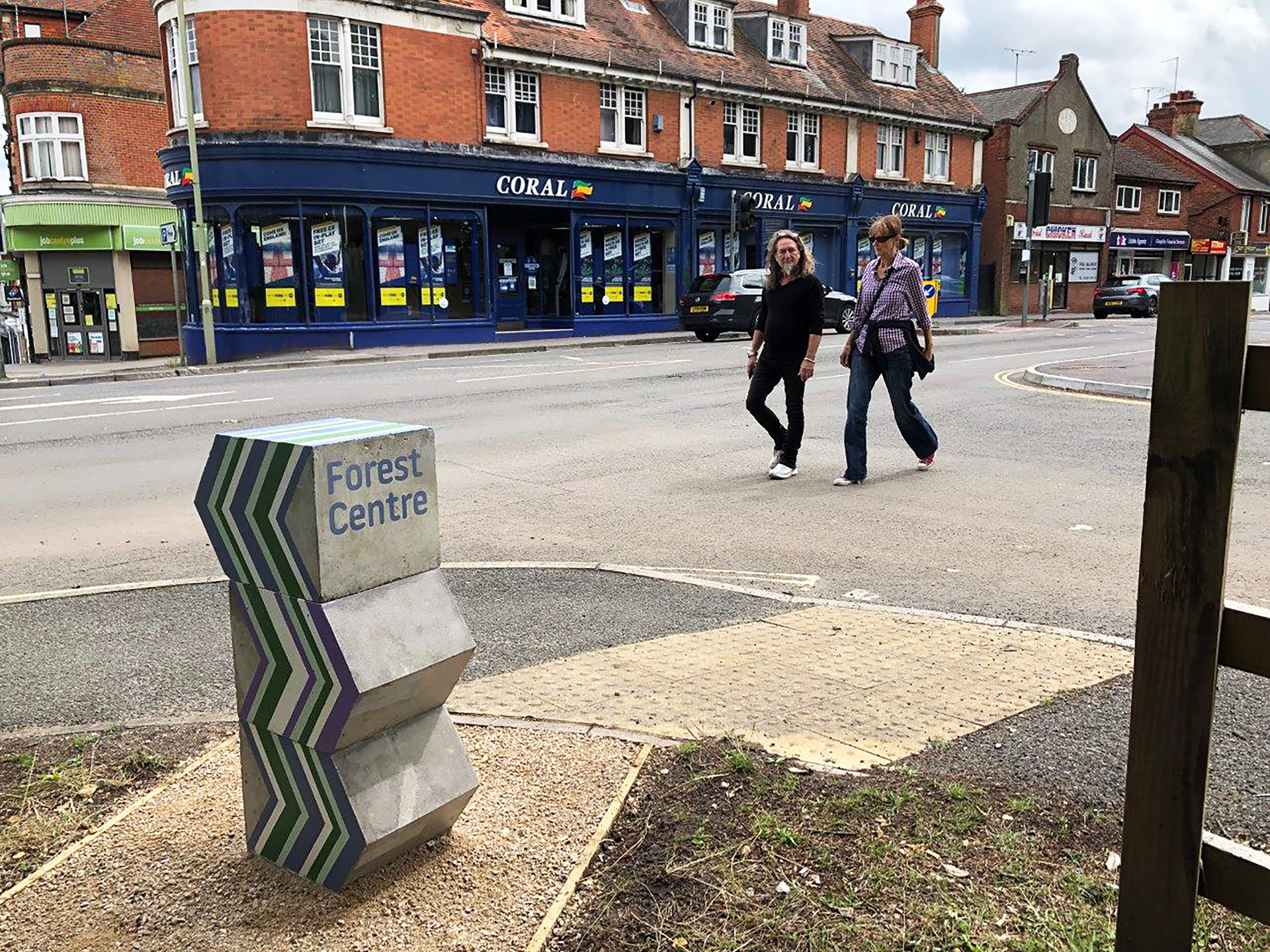
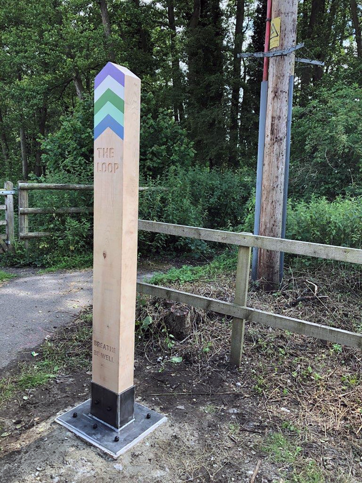
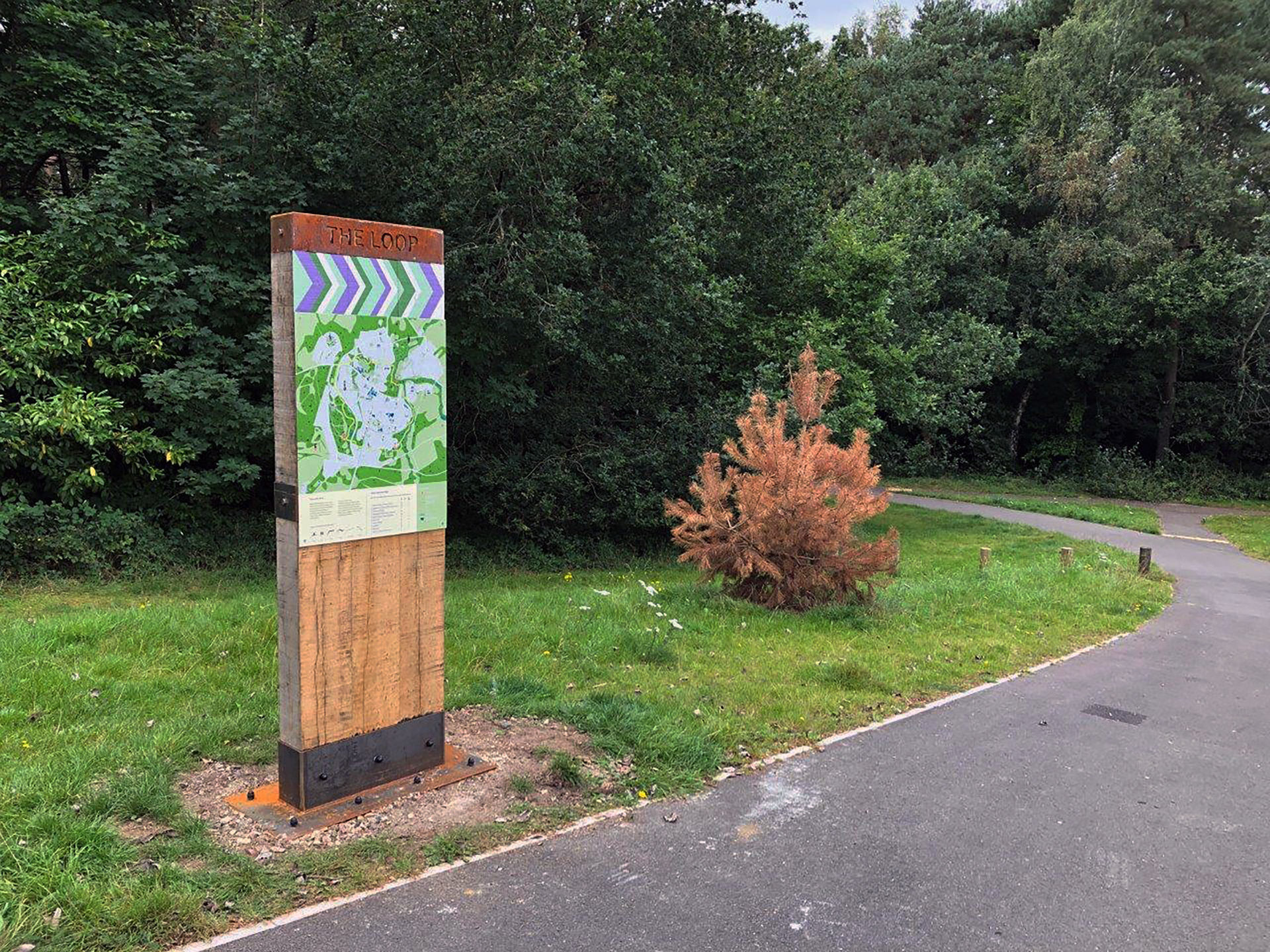
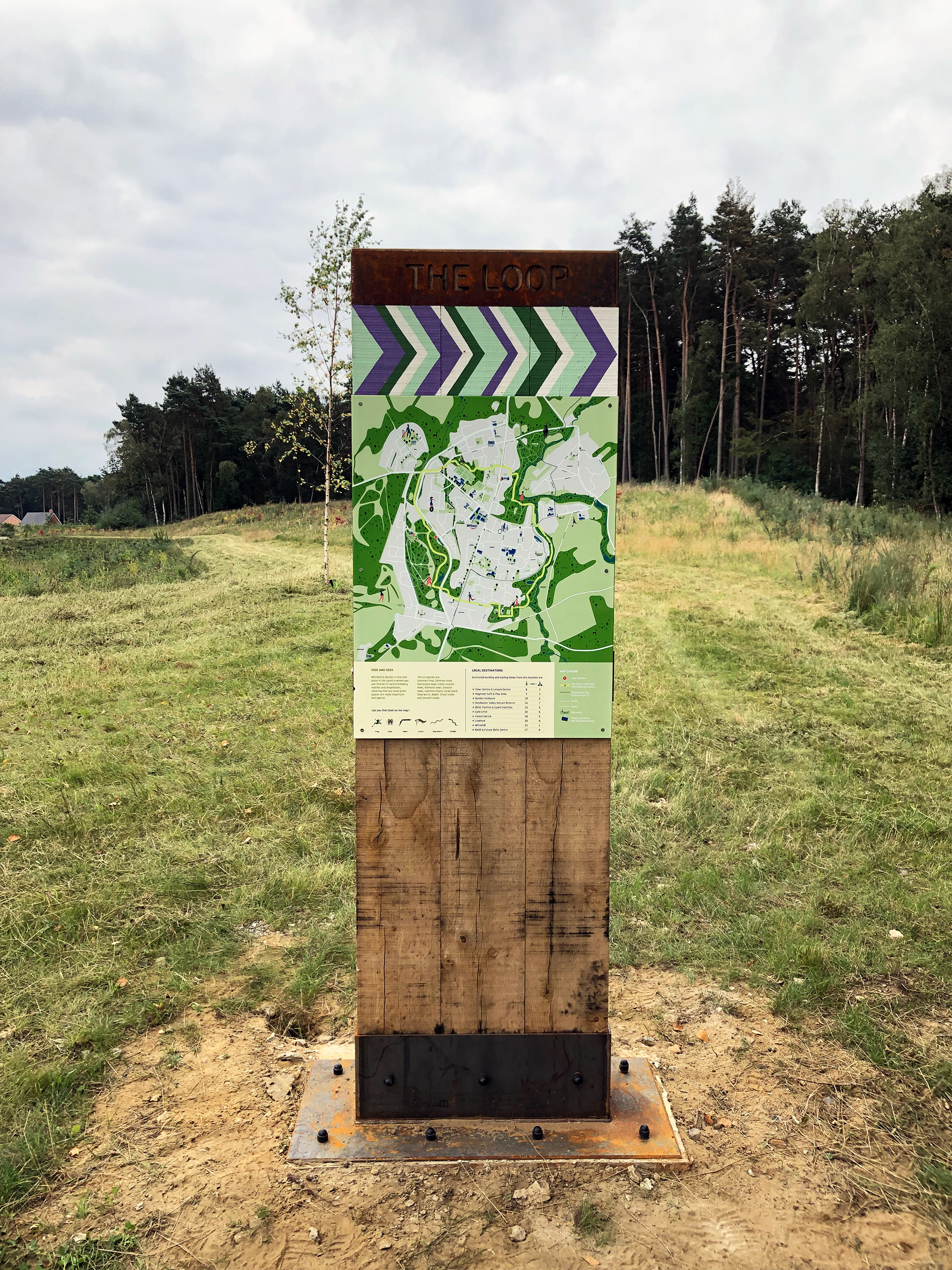
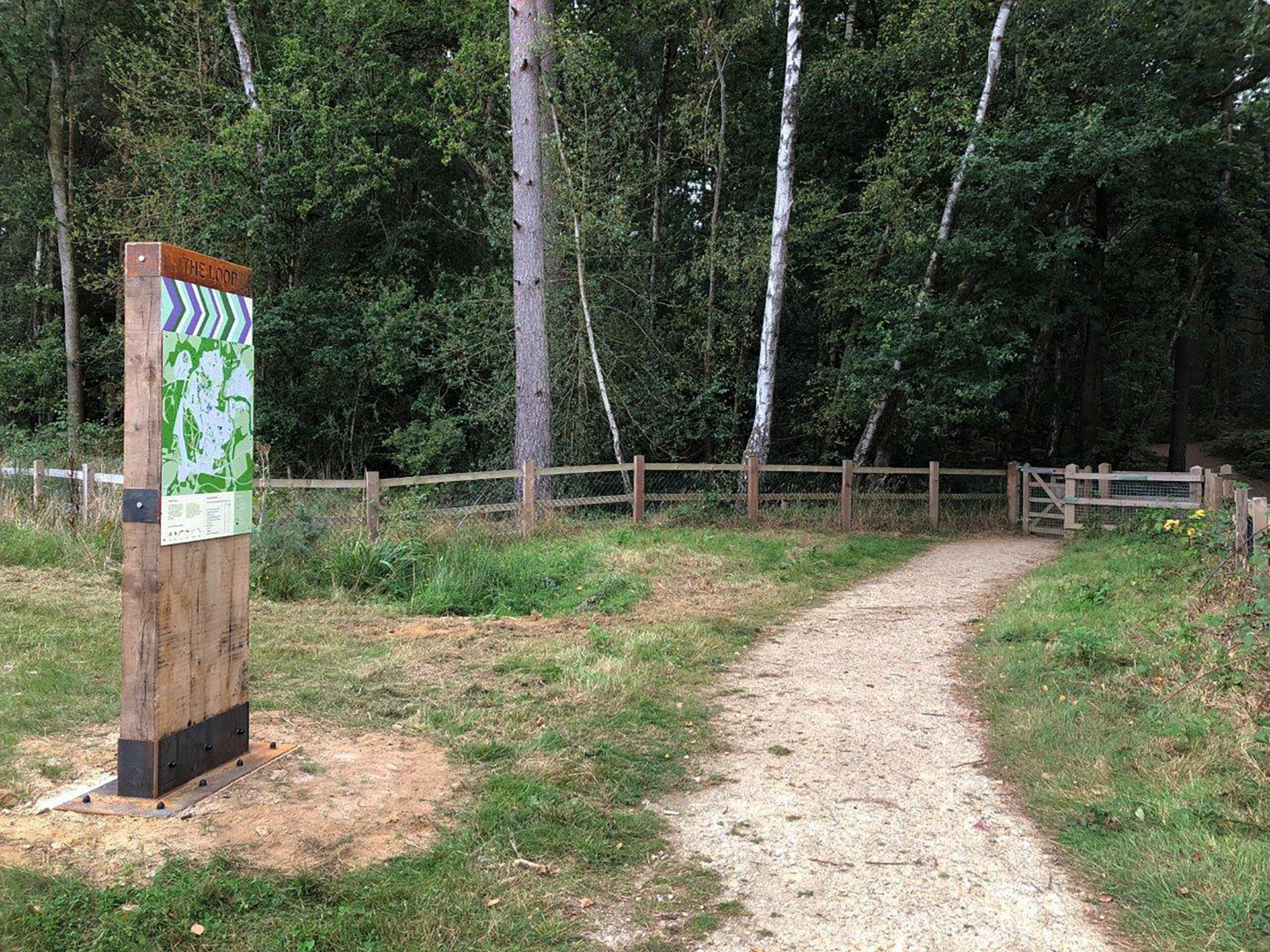
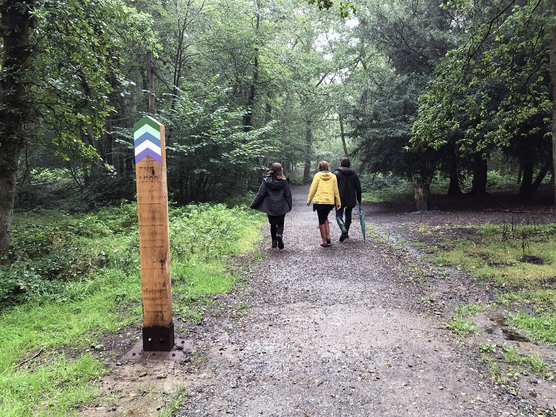
The Green Loop is a circular route connecting parks, landscapes and neighbourhoods around Whitehill & Bordon. To encourage greater use of these green spaces, Richard Wolfströme developed a family of robust wayfinding interventions designed to support navigation while adding a stronger sense of identity, discovery and play.
The design language takes inspiration from the concrete tank defence blocks found along the route, translated into bold, durable forms that feel rooted in the landscape. The interventions combine directional information with opportunities to inform, surprise and encourage people to spend more time outdoors and engage with the natural environment.
The result is a wayfinding system that does more than direct movement. It helps turn the Green Loop into a recognisable experience in its own right, reinforcing connections between place, landscape and community.
The project received the Award for Best Use of Arts, Culture or Sport at the 2022 Placemaking for Planning Awards and won Best Project at the 2022 RTPI South East Awards for Planning Excellence.
Wayfinding & environmental graphics: Richard Wolfströme
Project collaborators: Urban Place Lab & Feria Urbanism
Map design: Urban Place Lab
Client: East Hampshire District Council
Project collaborators: Urban Place Lab & Feria Urbanism
Map design: Urban Place Lab
Client: East Hampshire District Council