Wayfinding, interpretation and placemaking
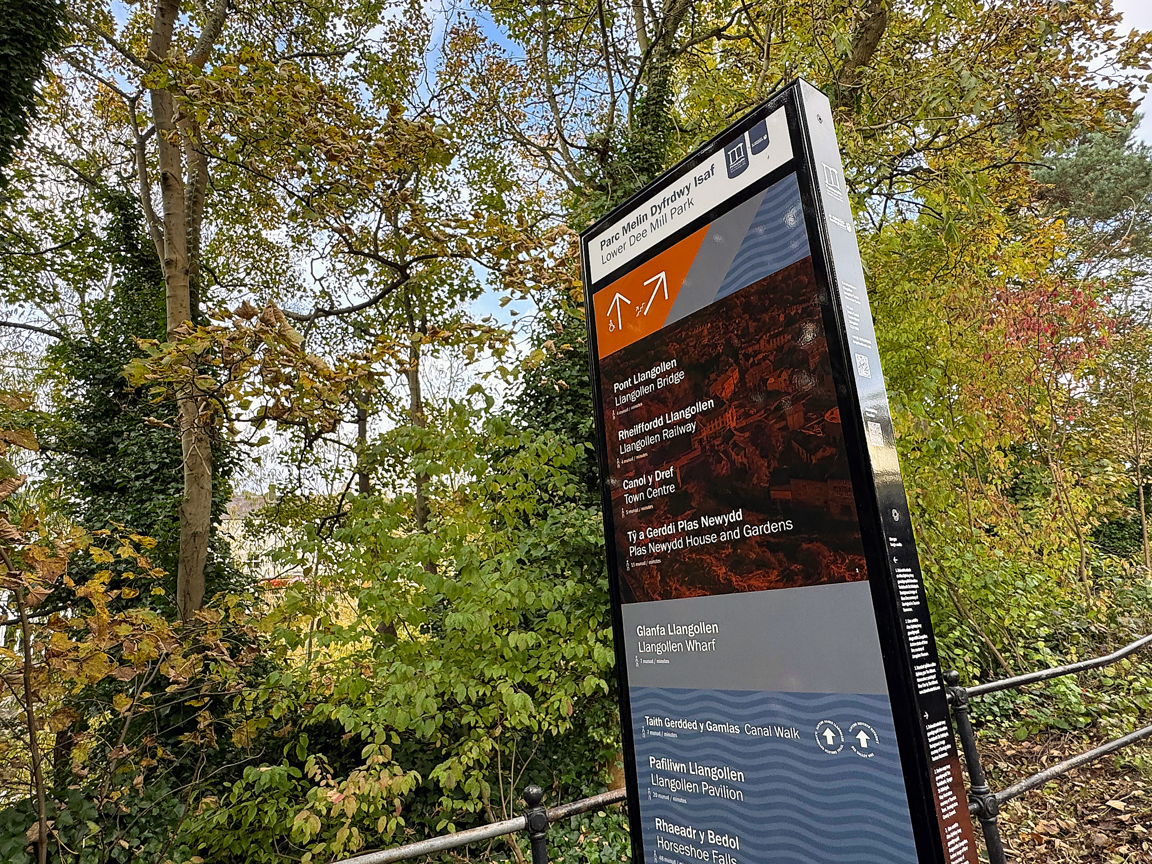
Set on the River Dee within a UNESCO World Heritage Site, Llangollen is a historic Welsh town shaped by four defining routes: the Llangollen Canal, historic railway, River Dee and Thomas Telford’s London to Holyhead Road.
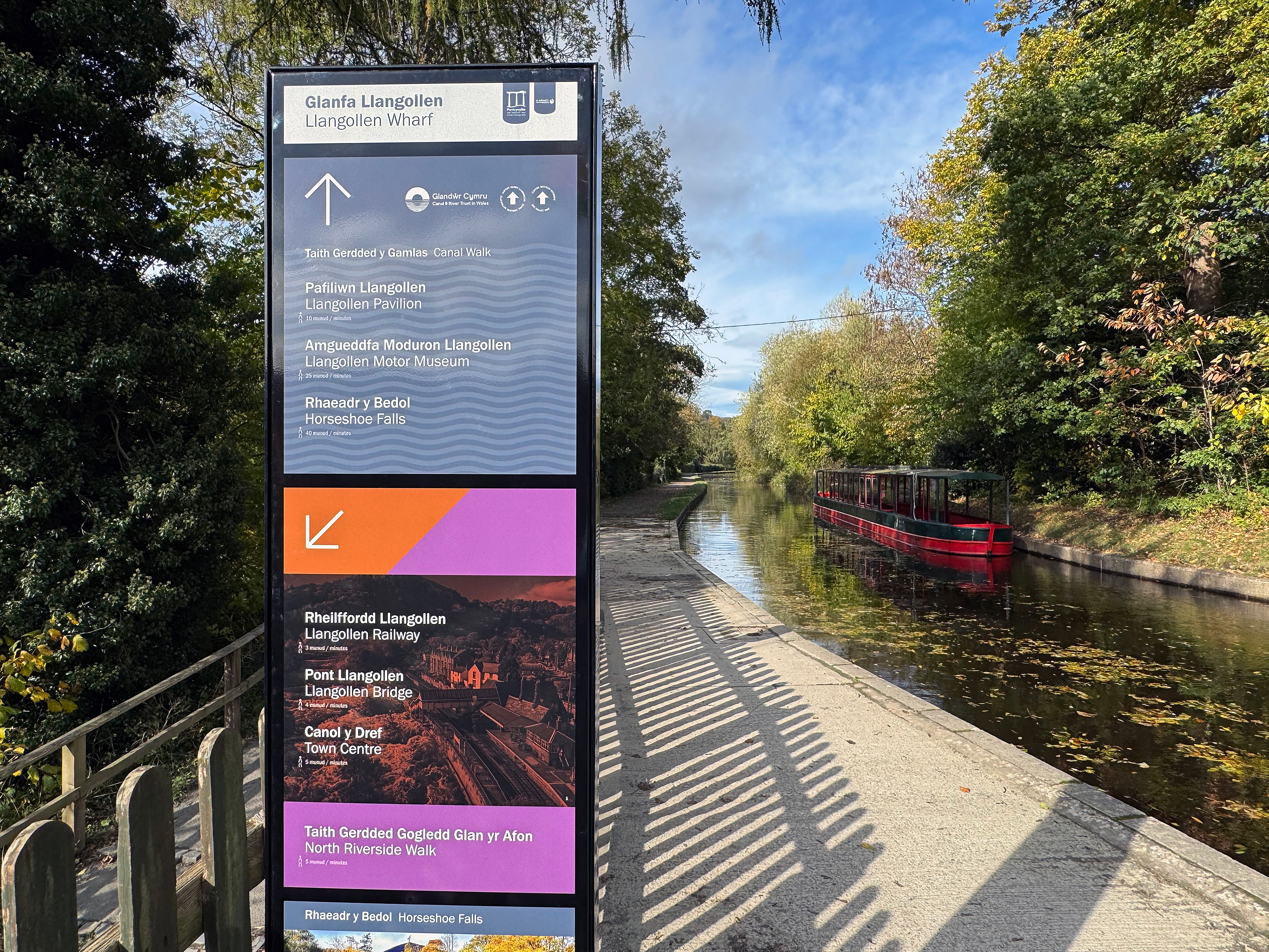
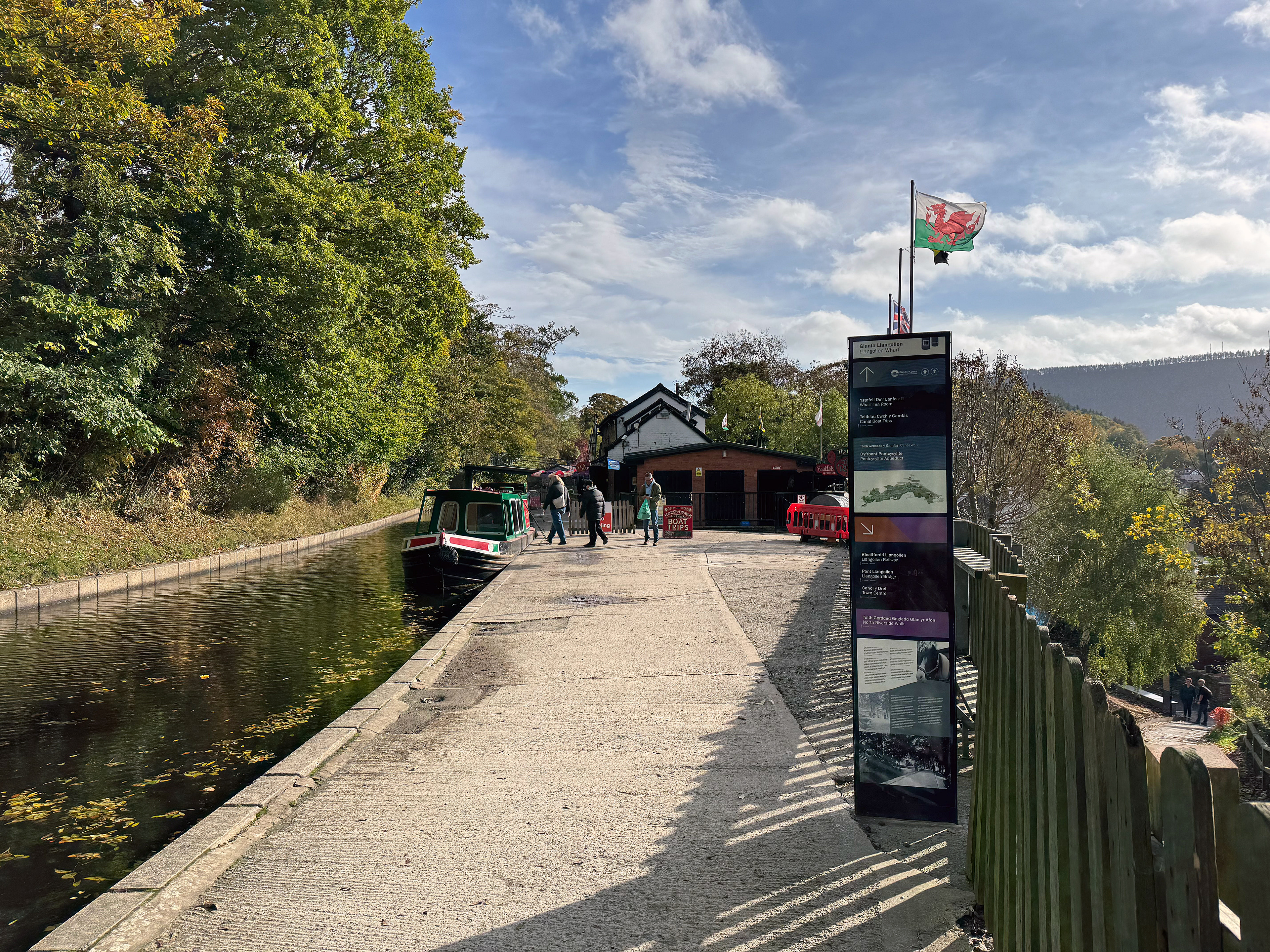
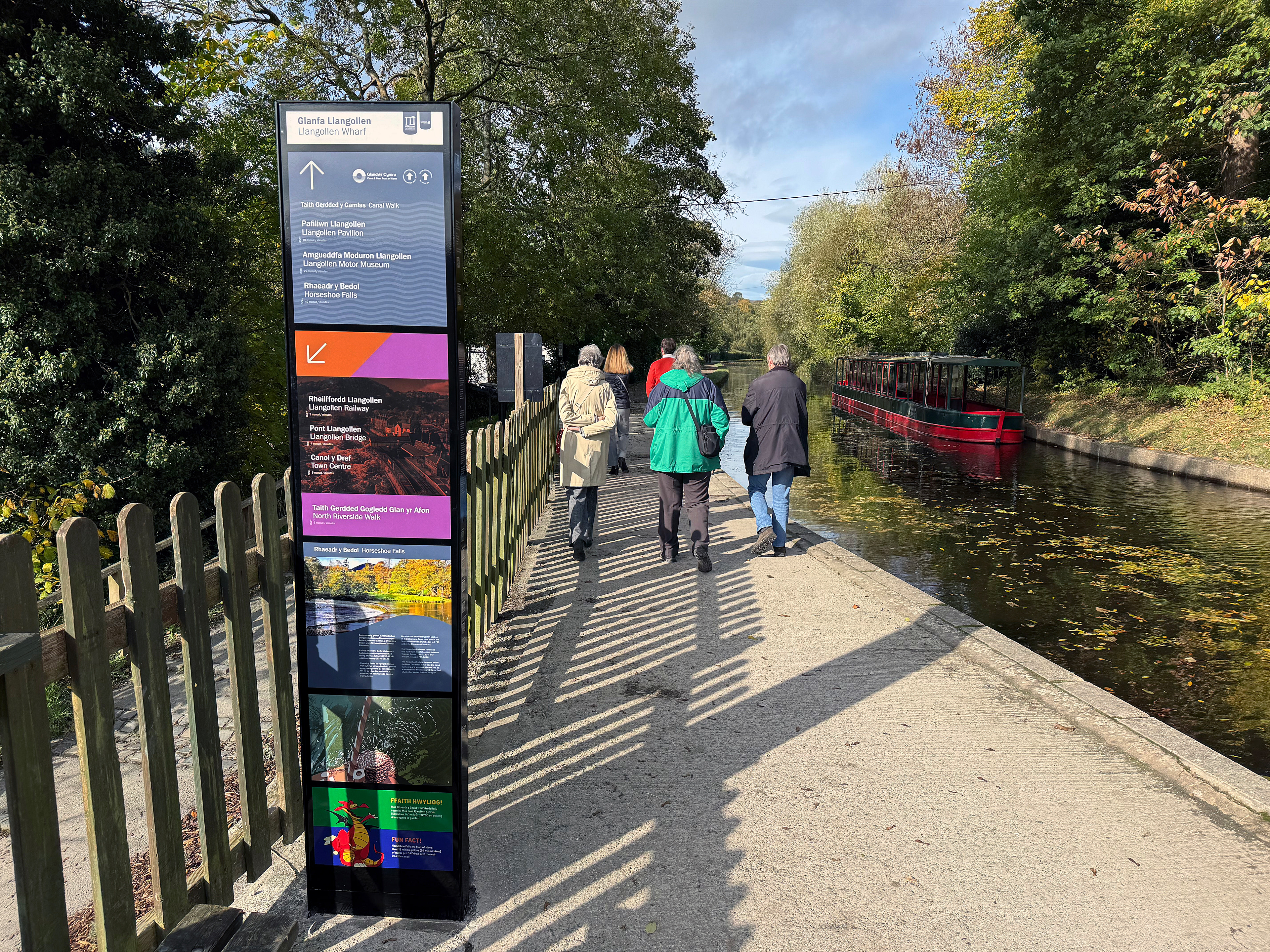
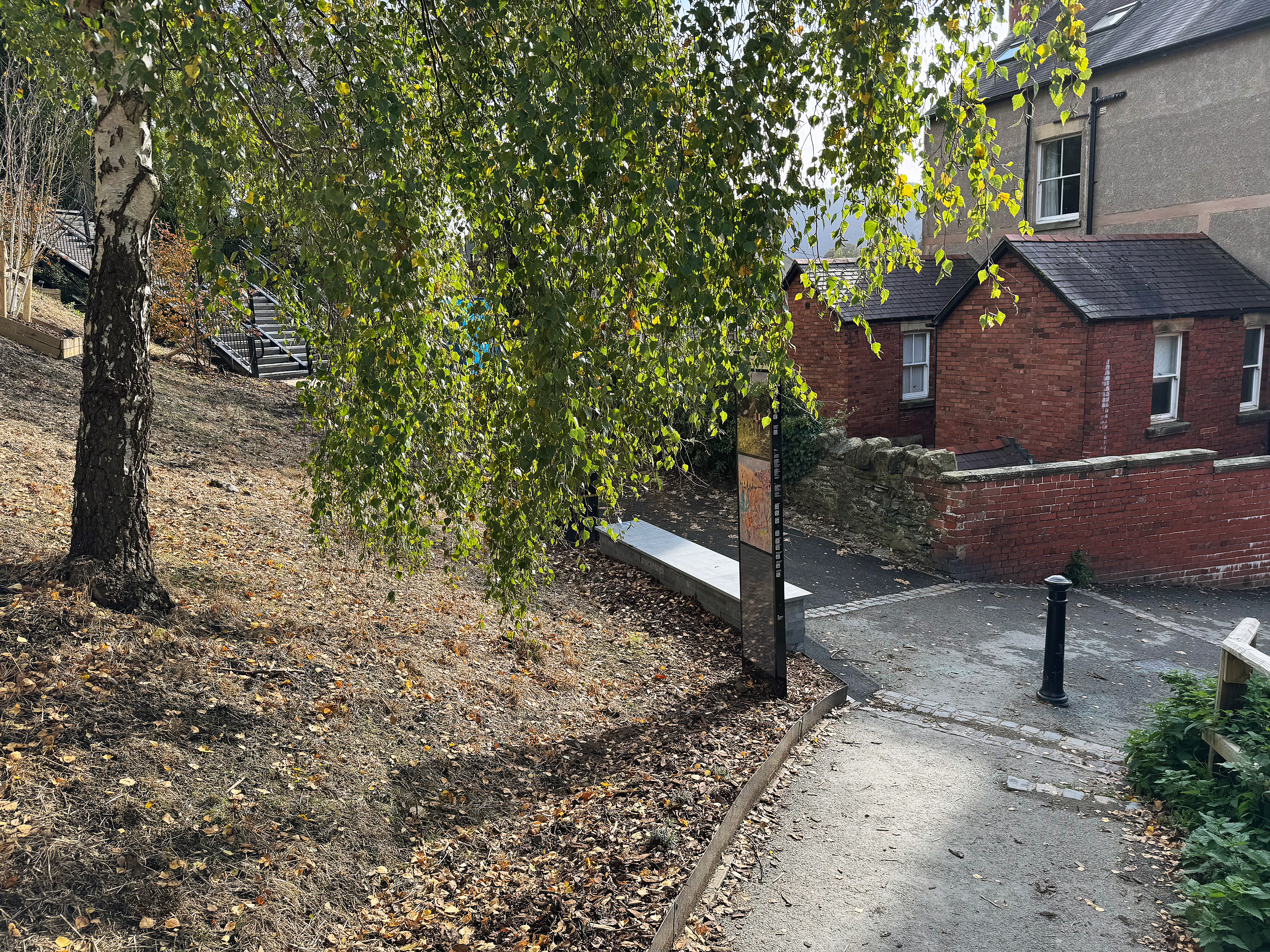
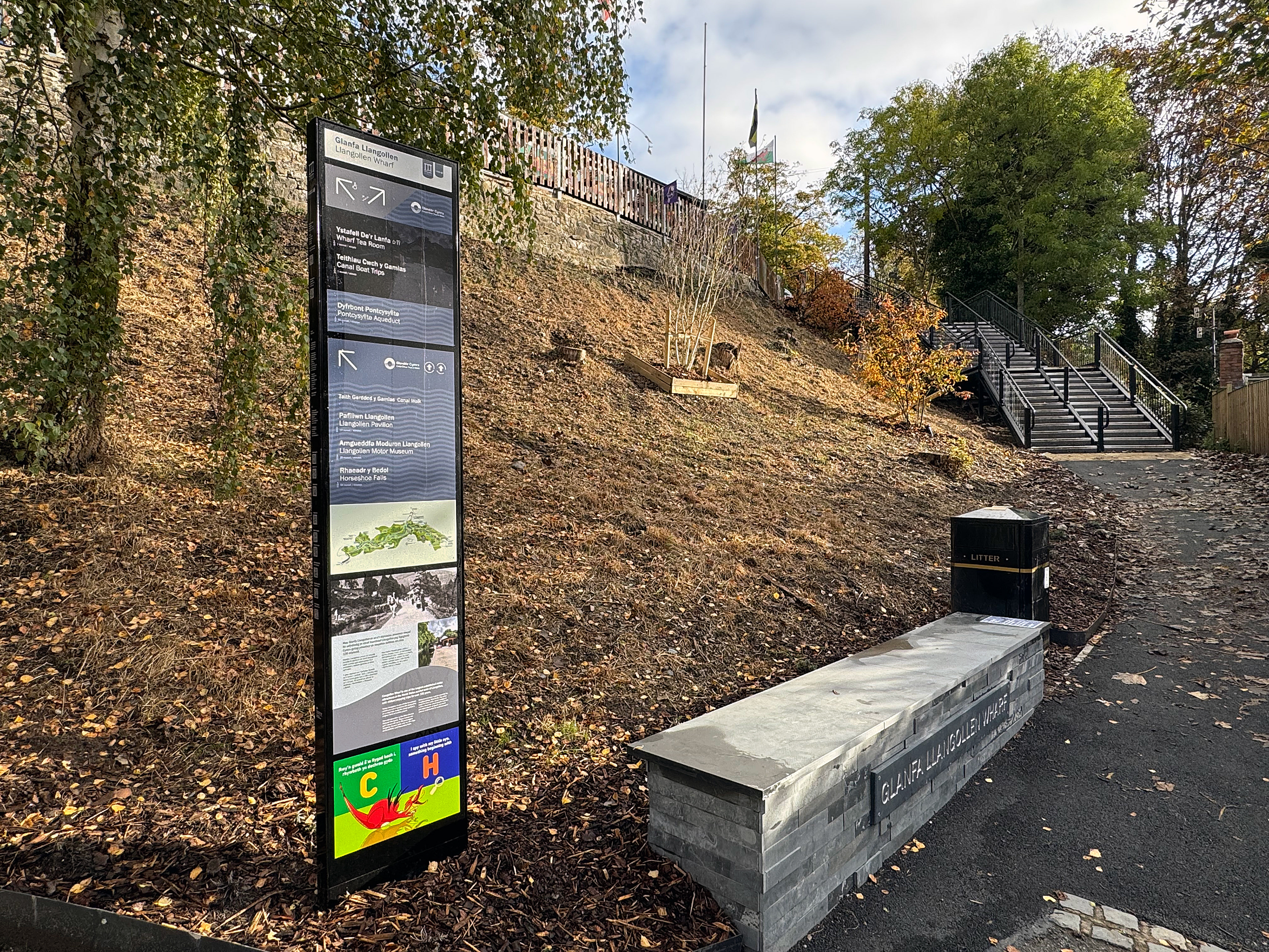
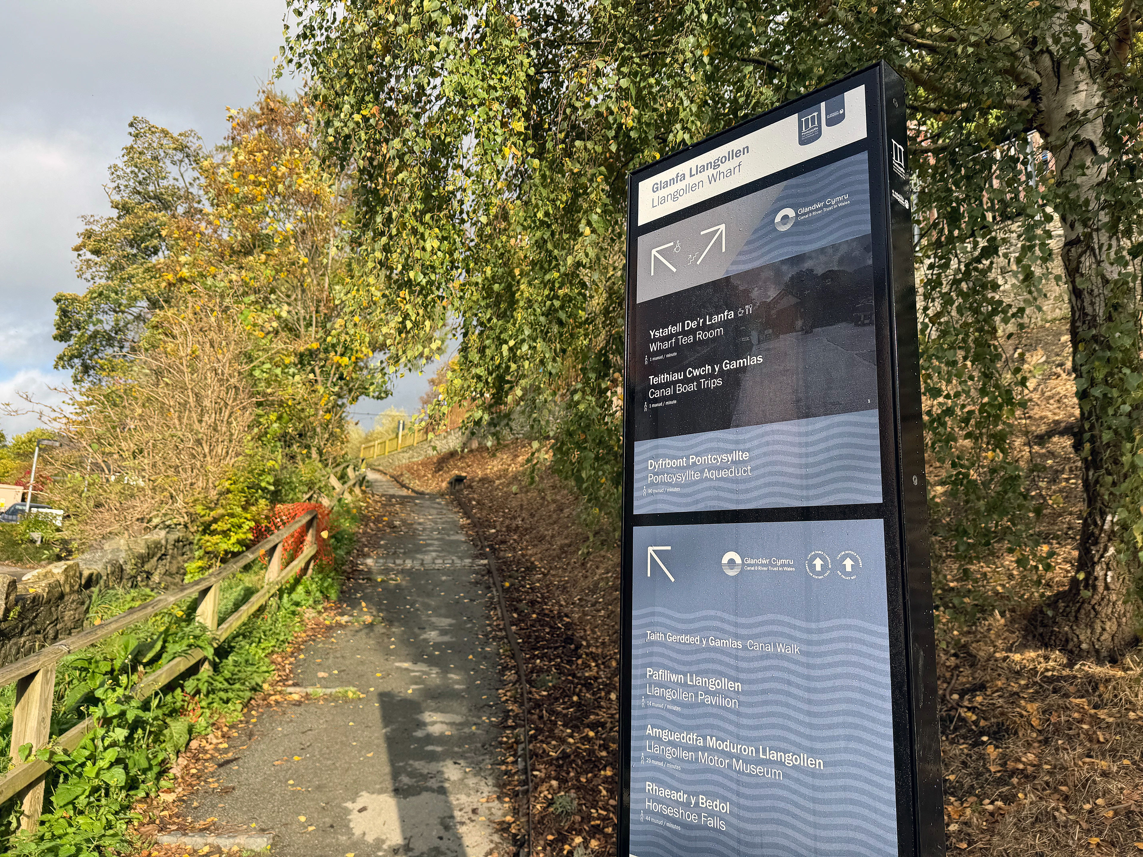
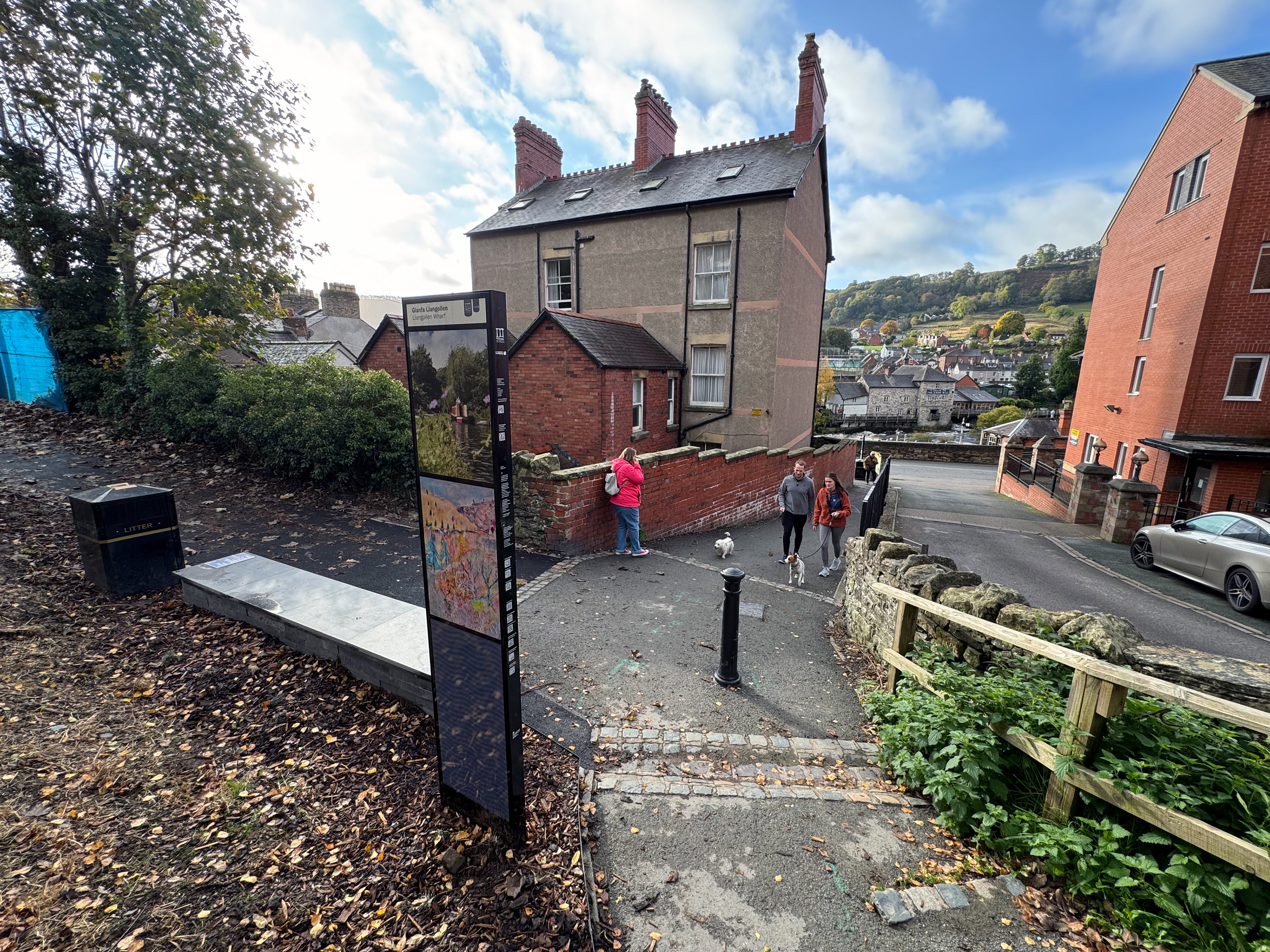
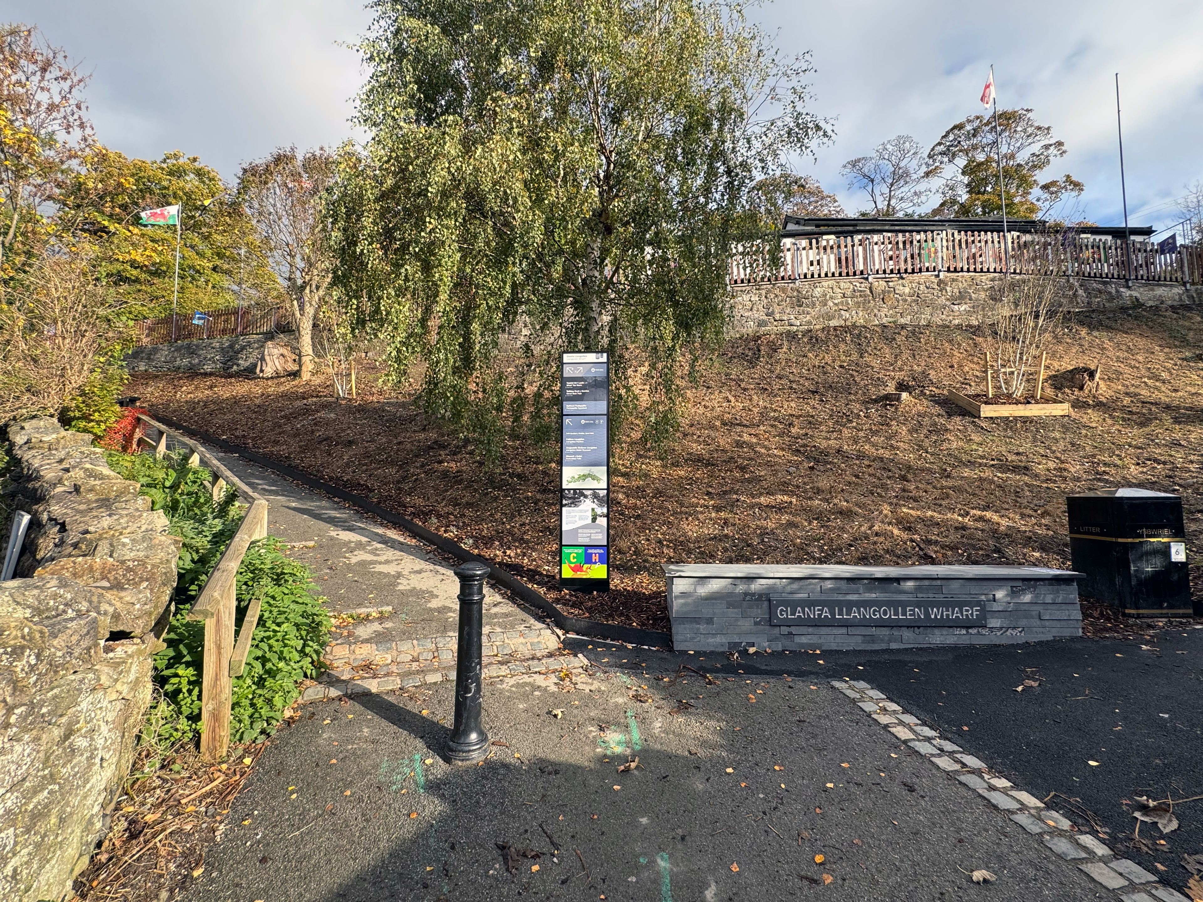
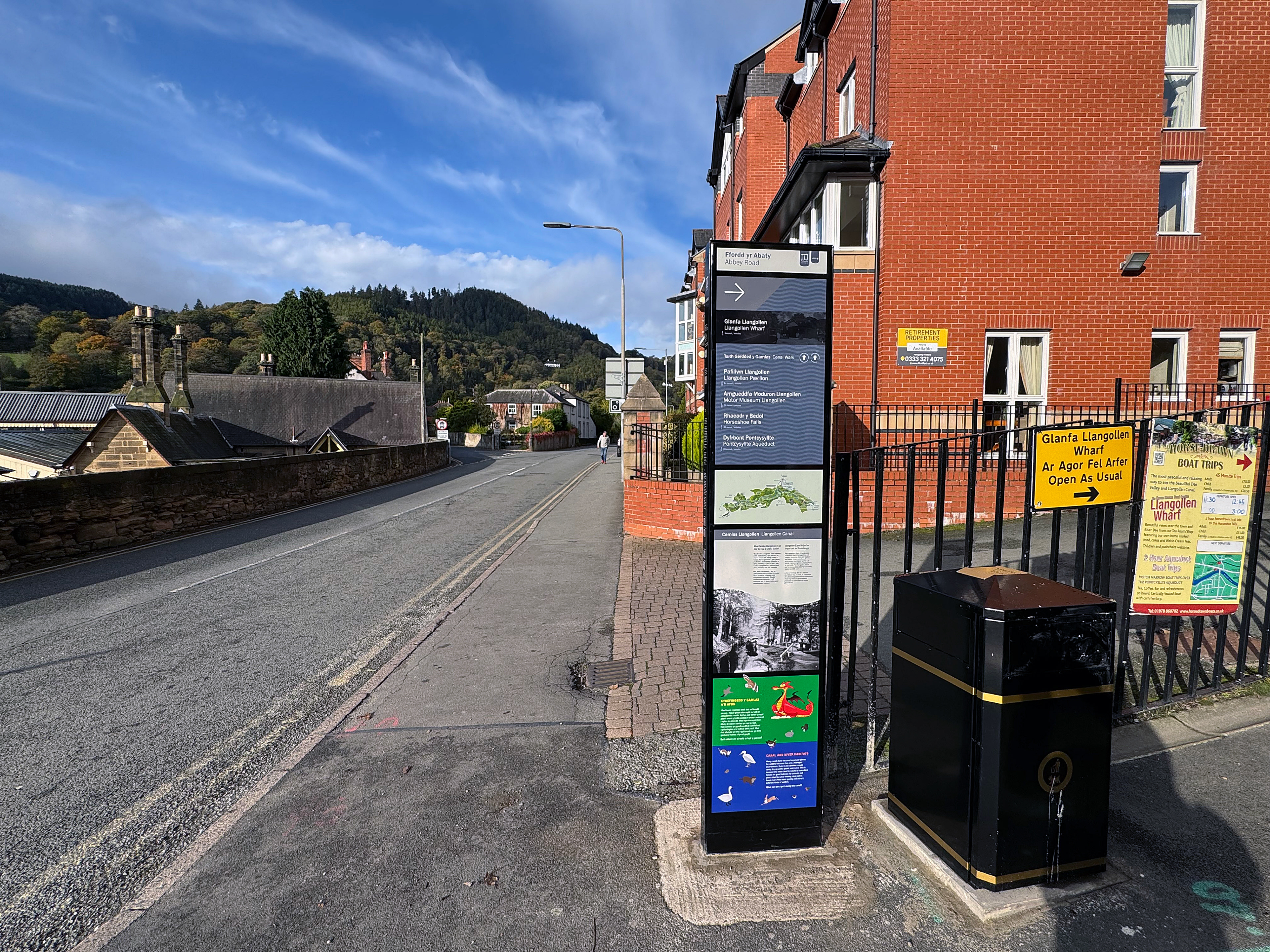
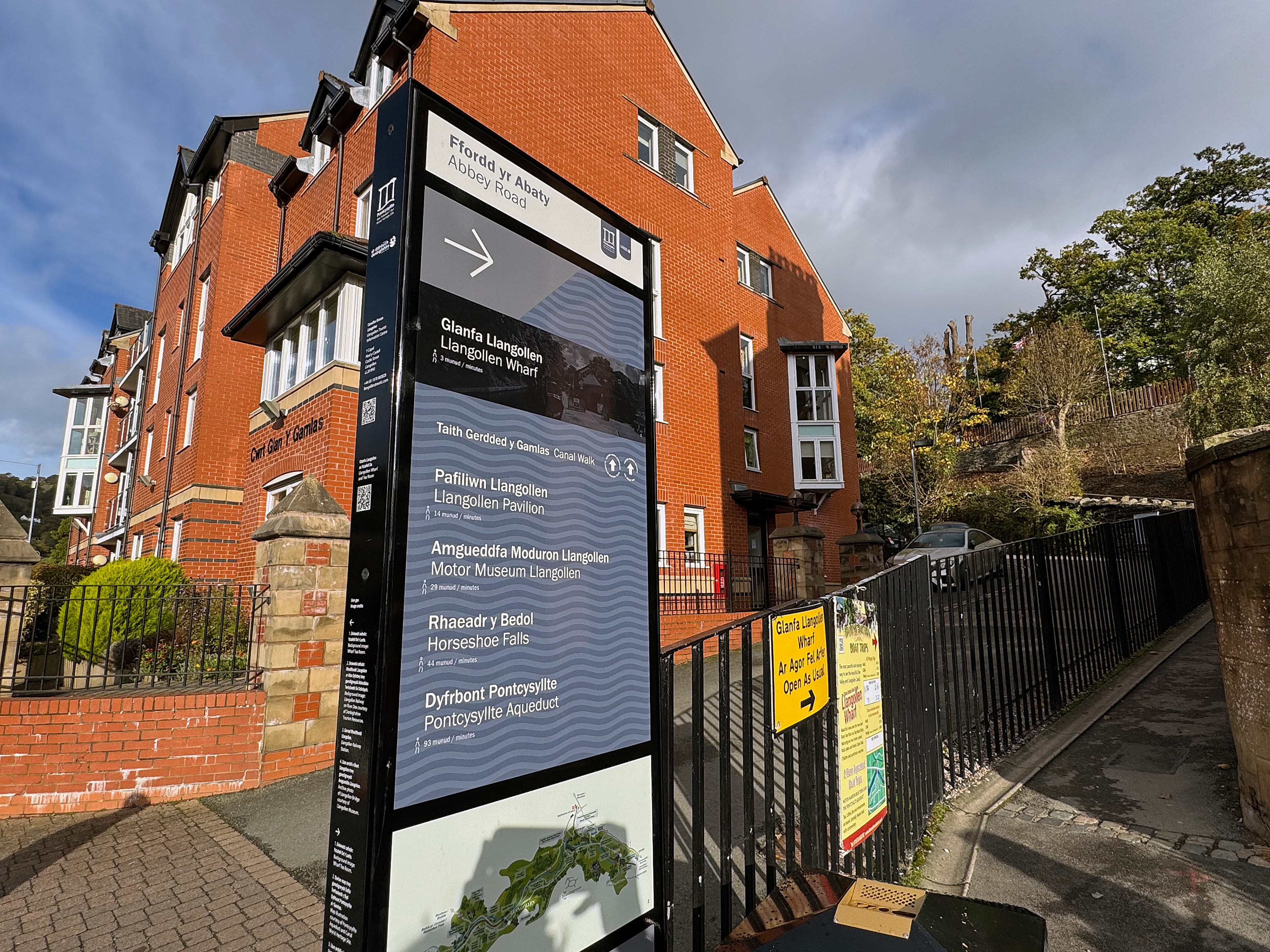
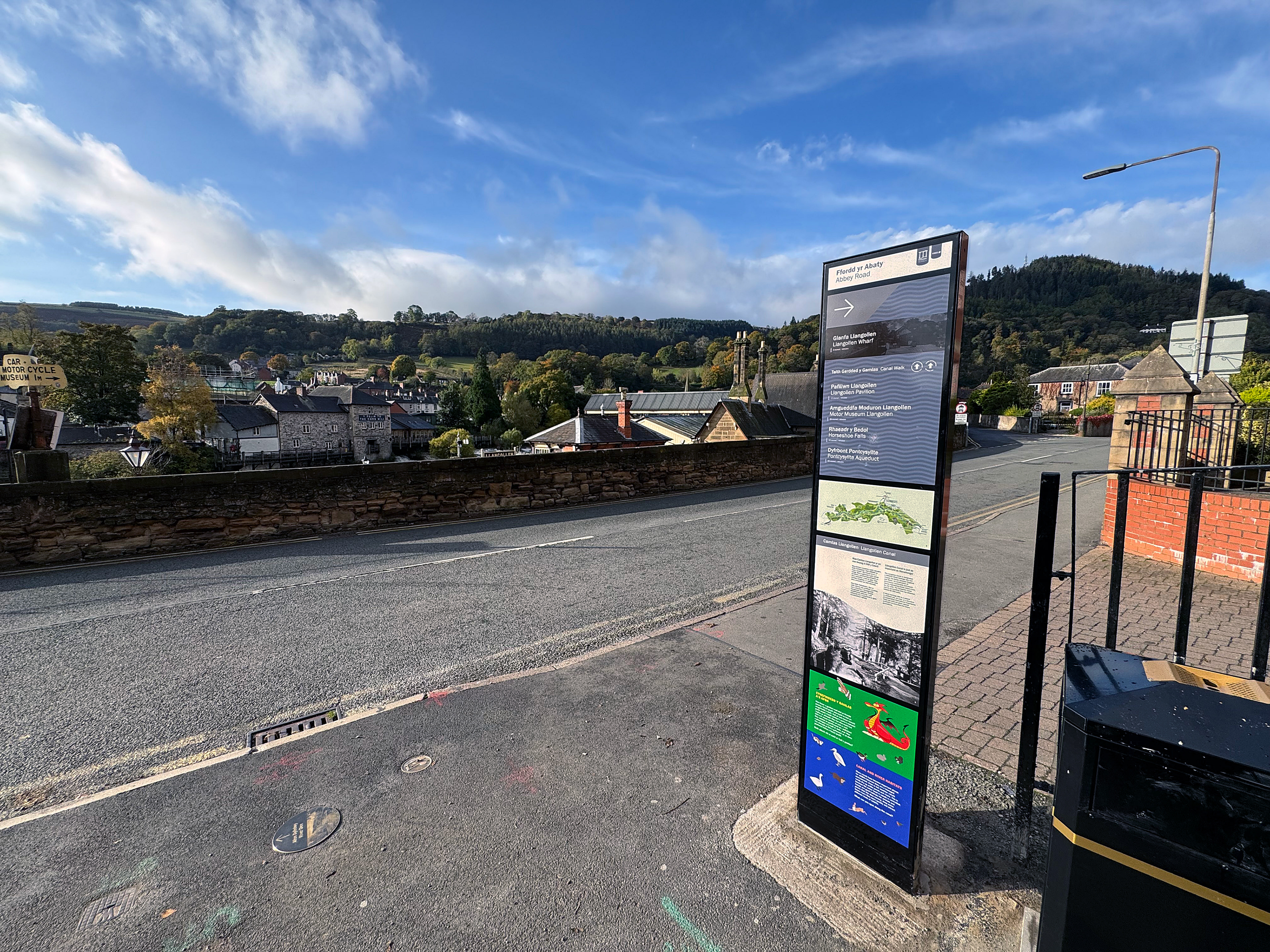
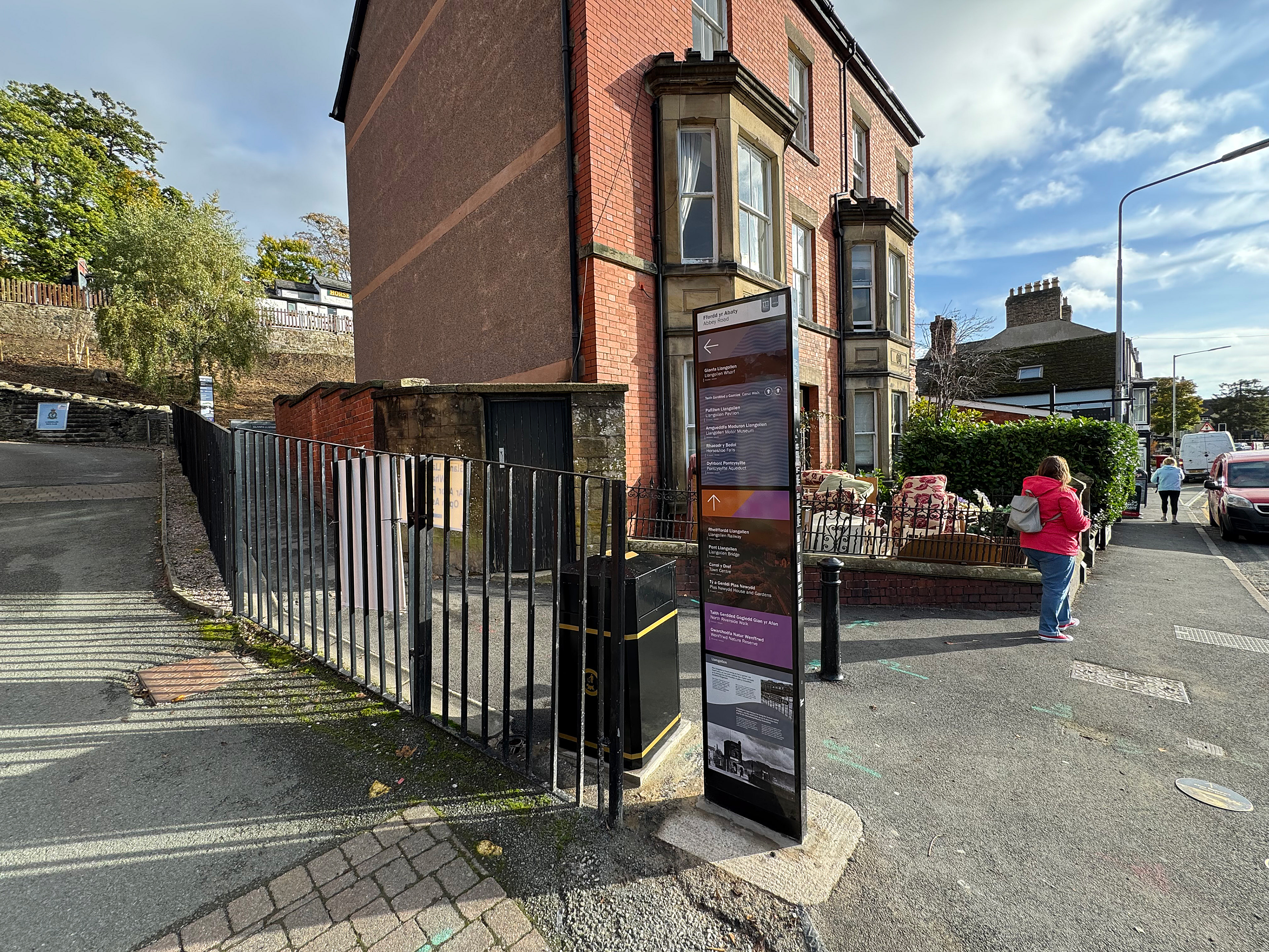
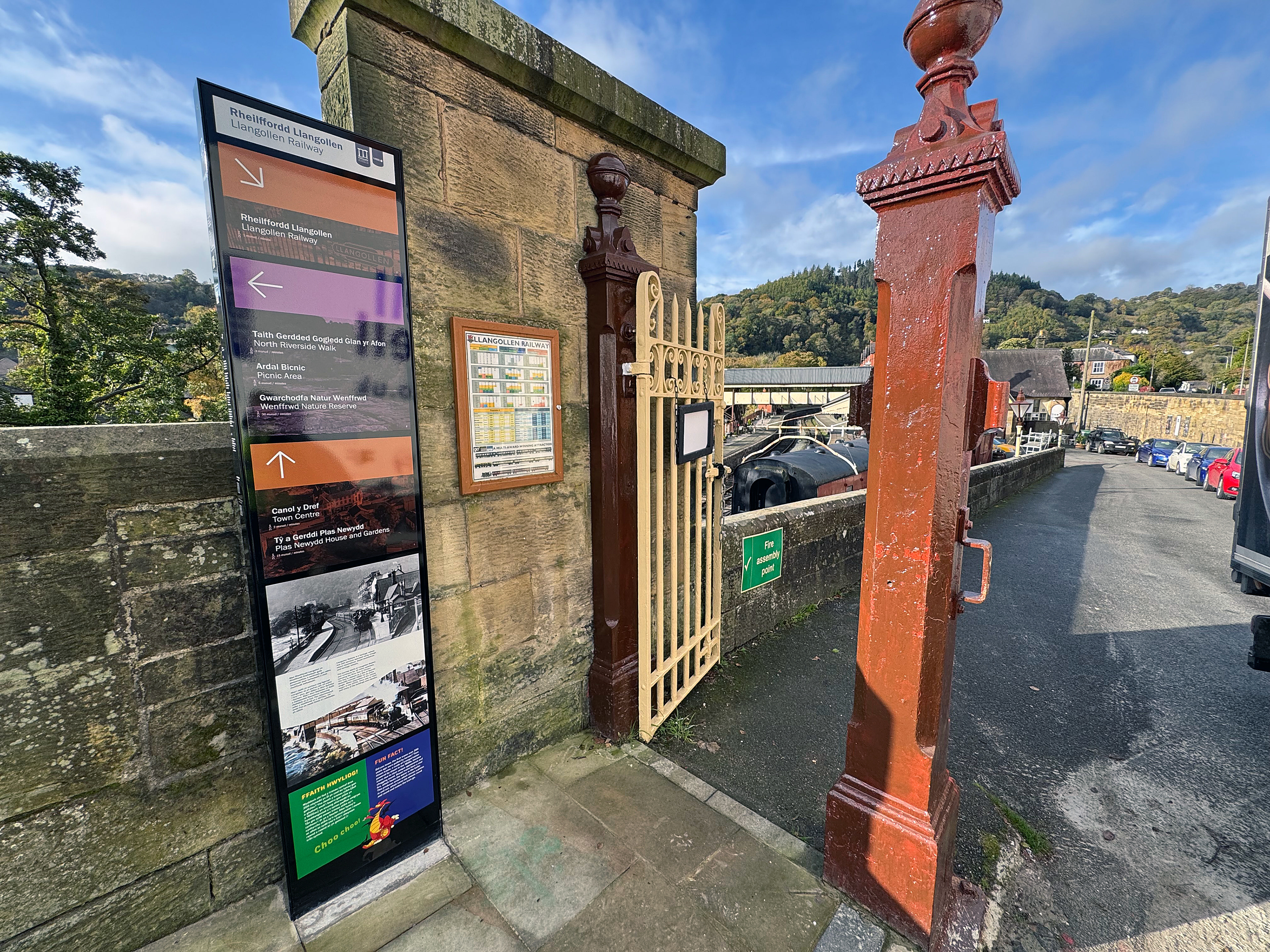
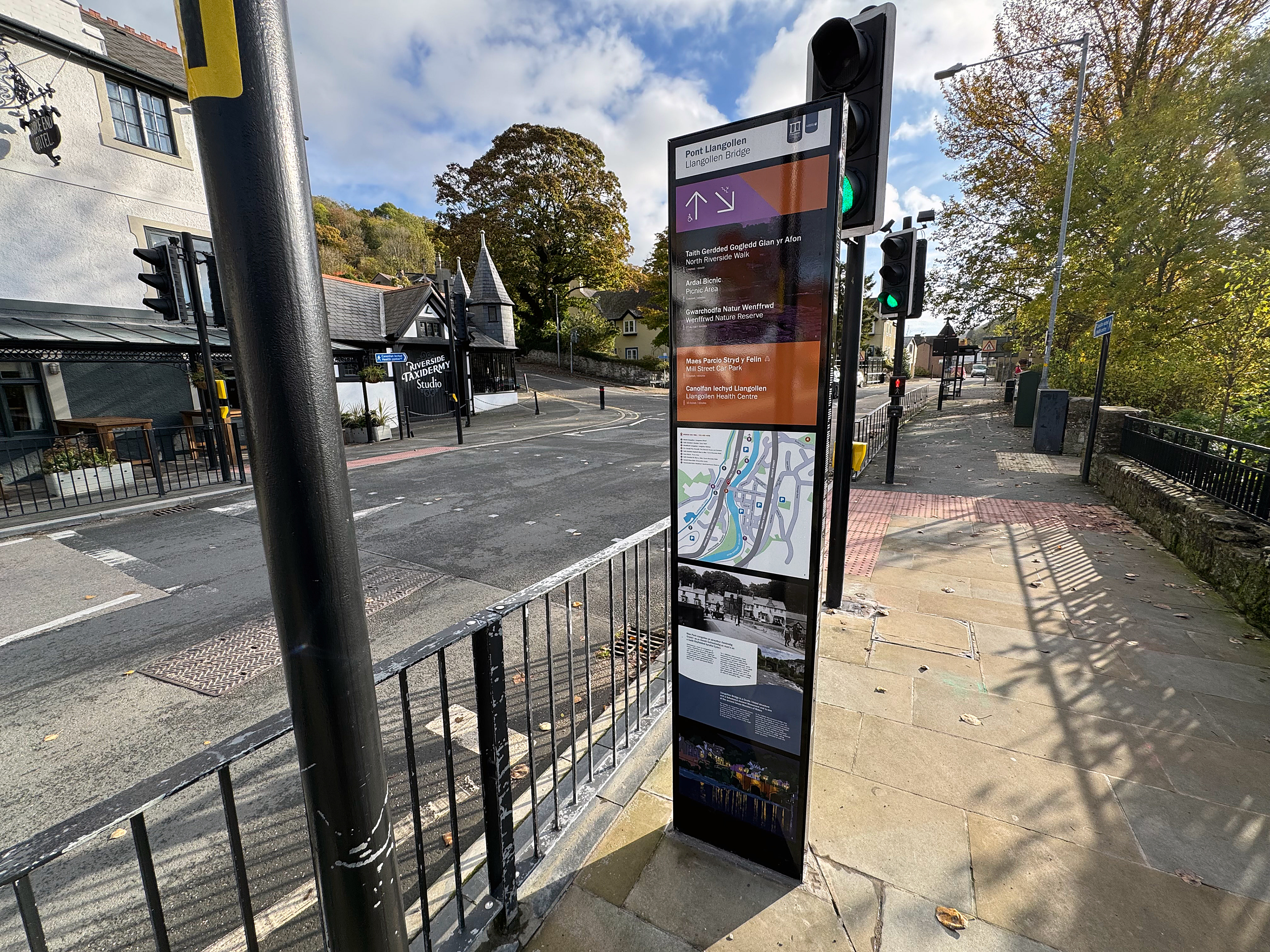
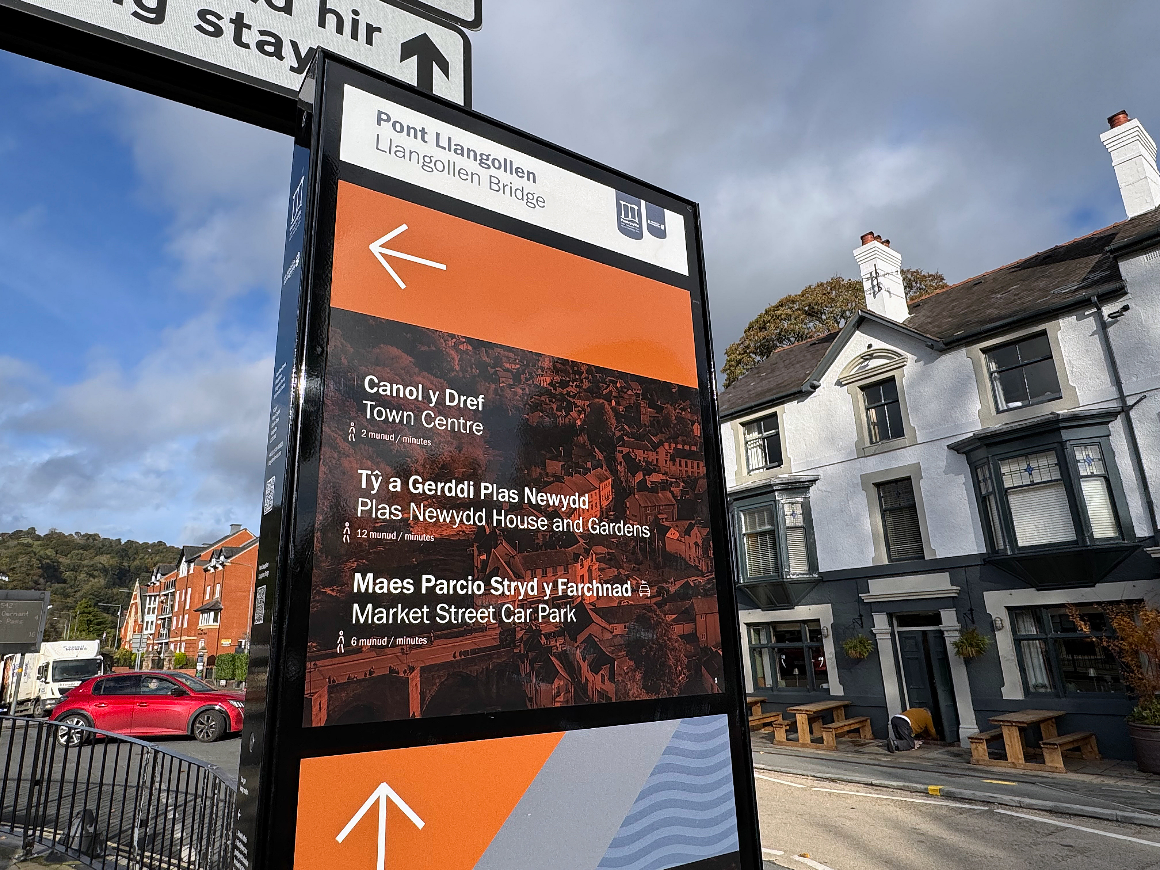
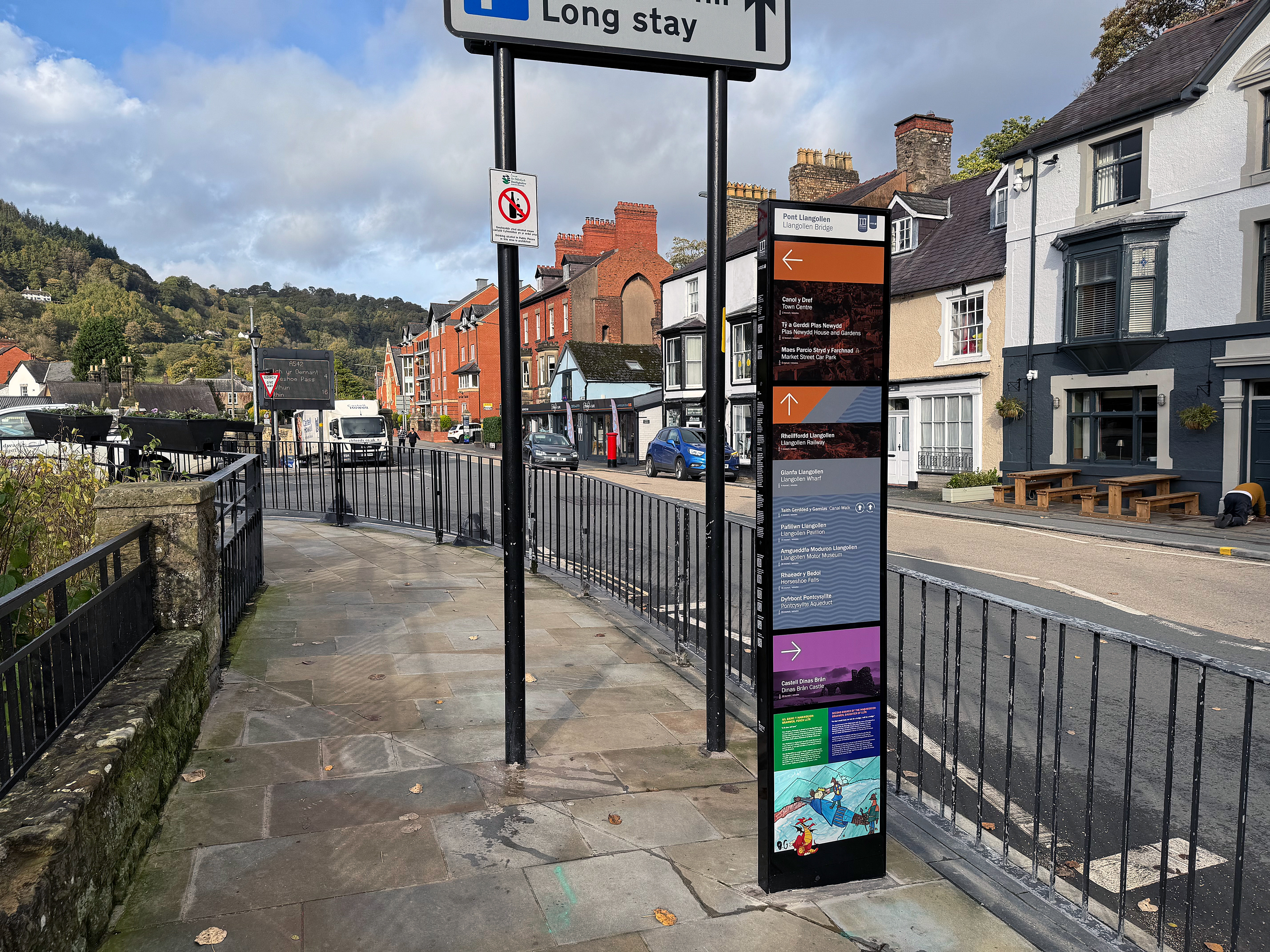
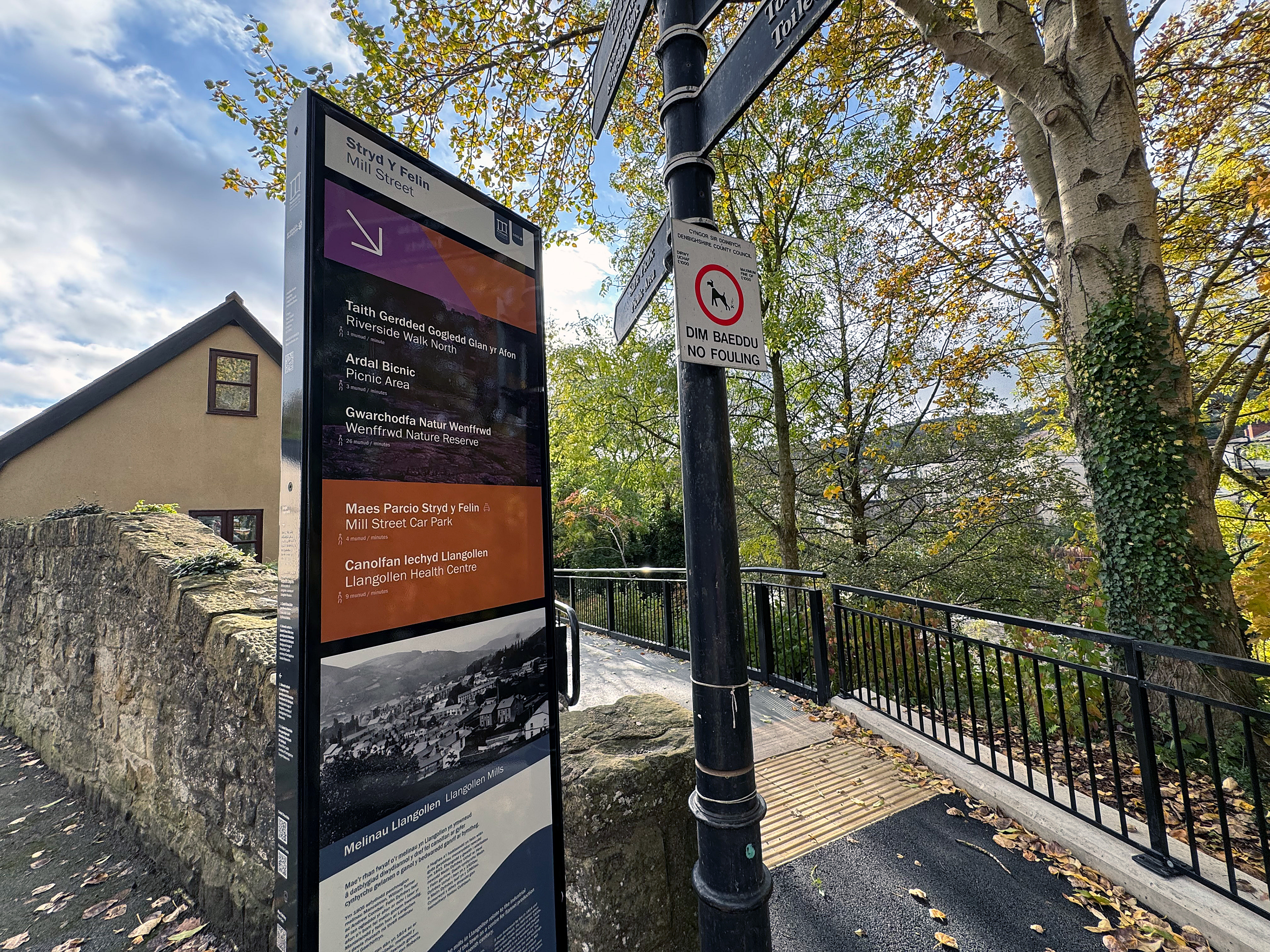
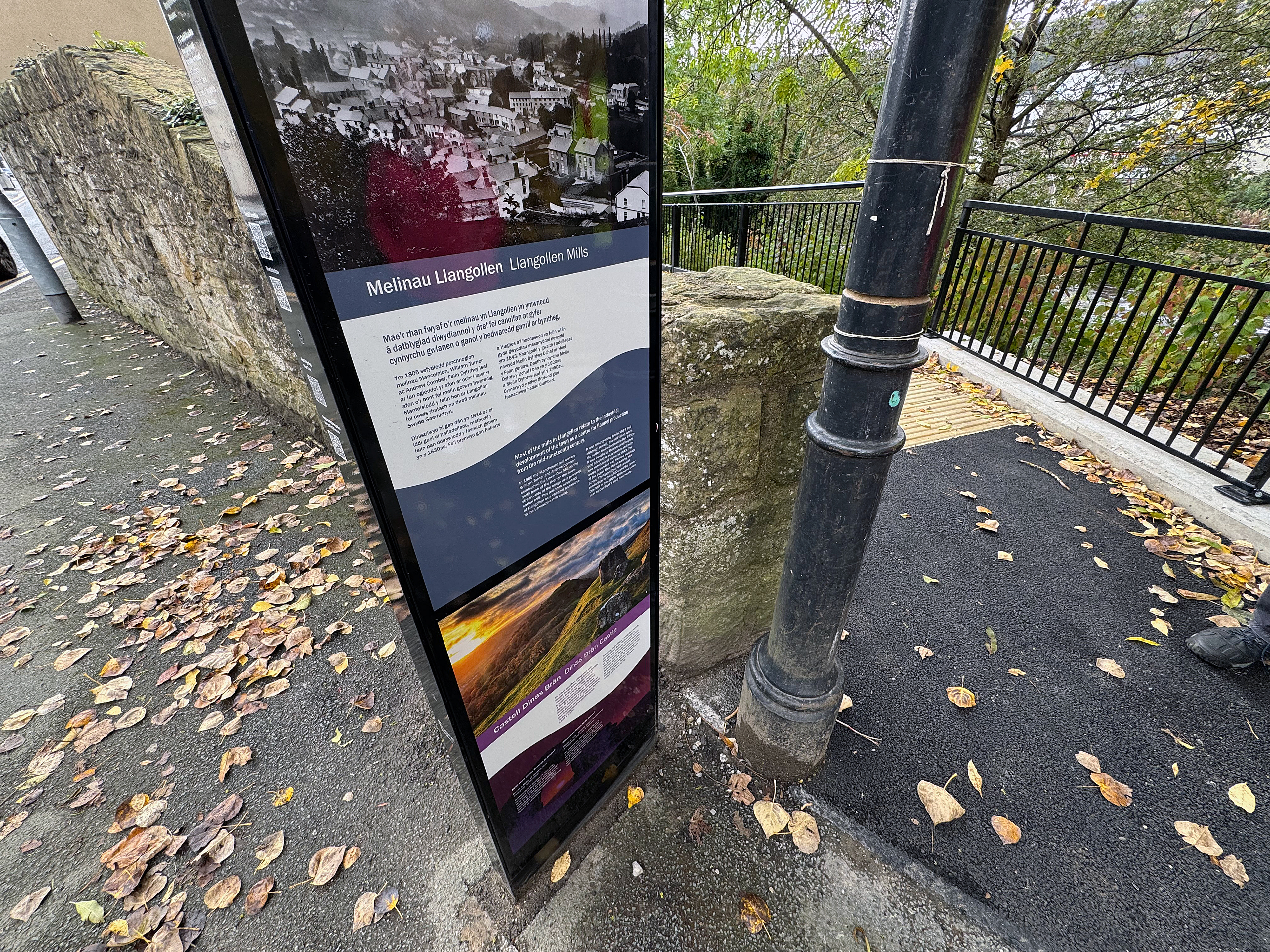
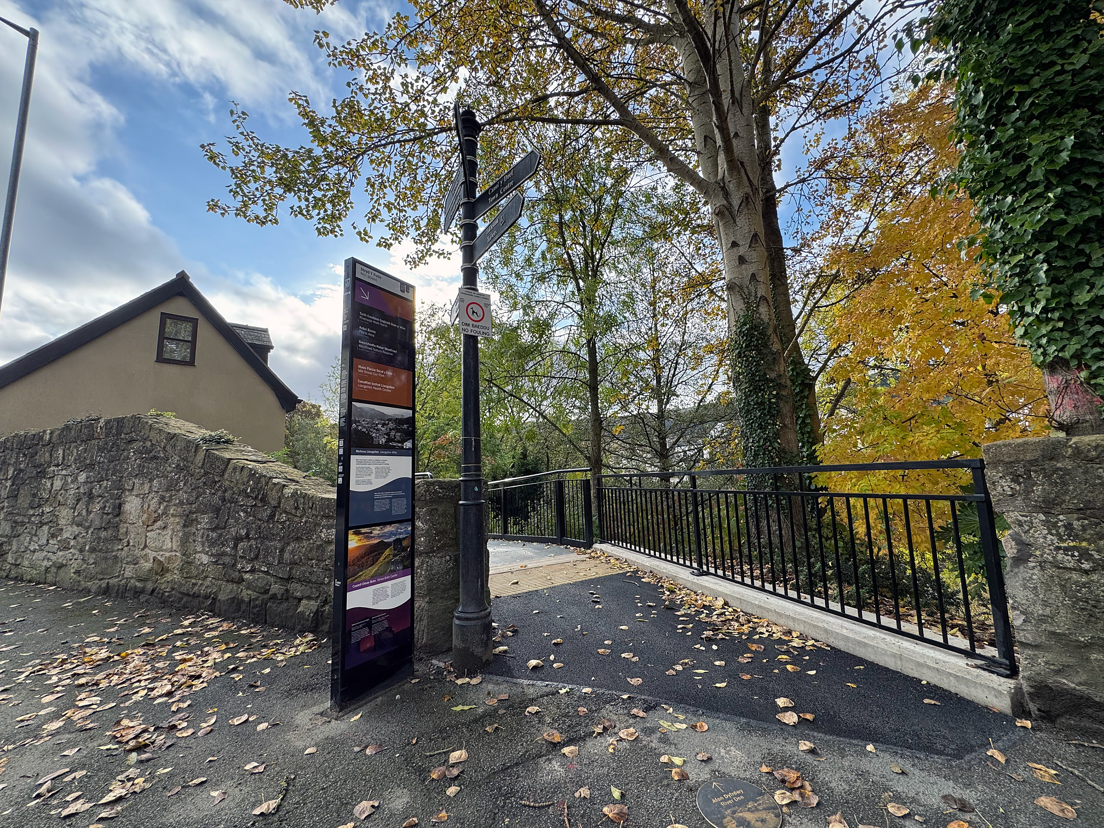
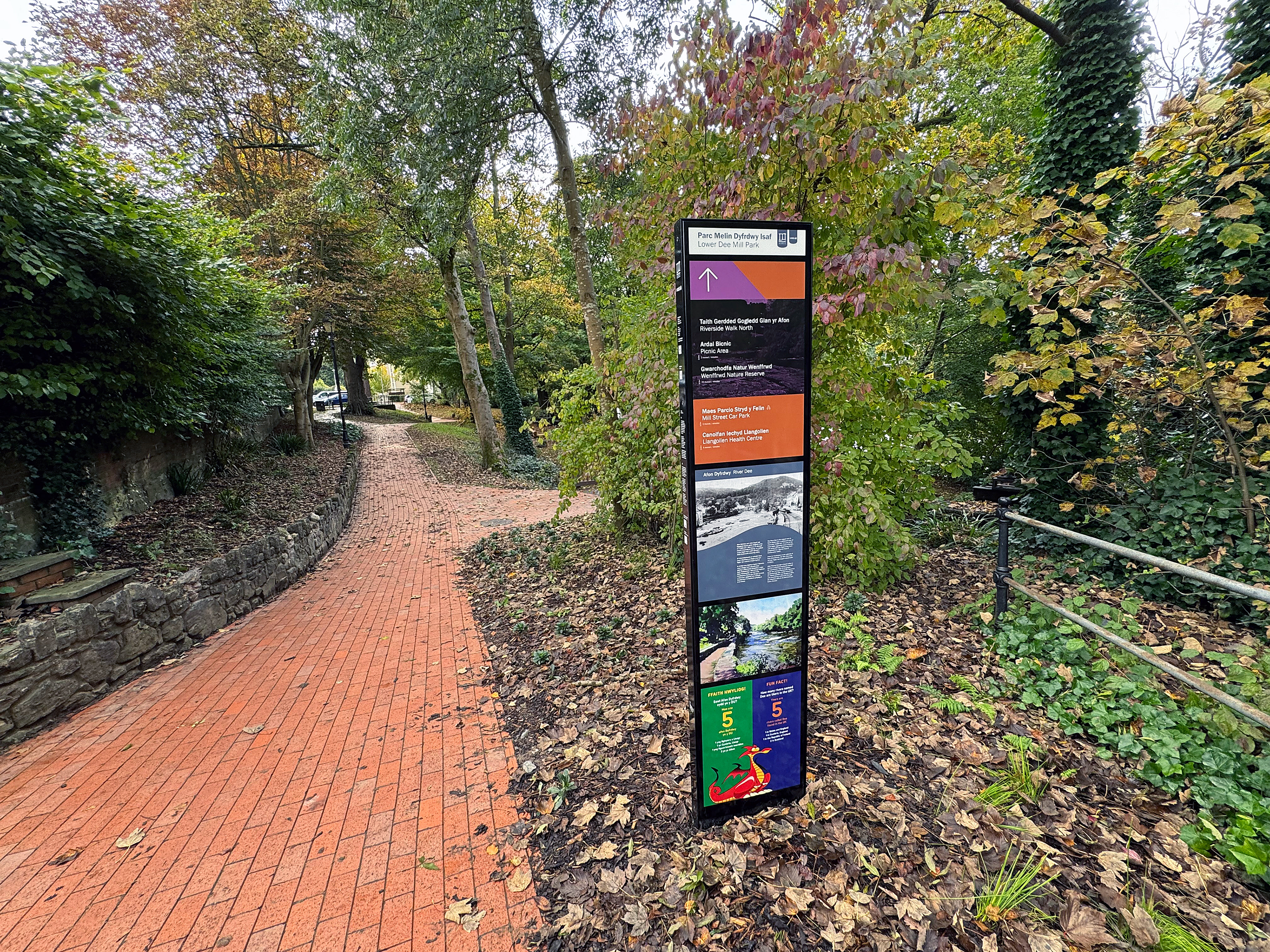
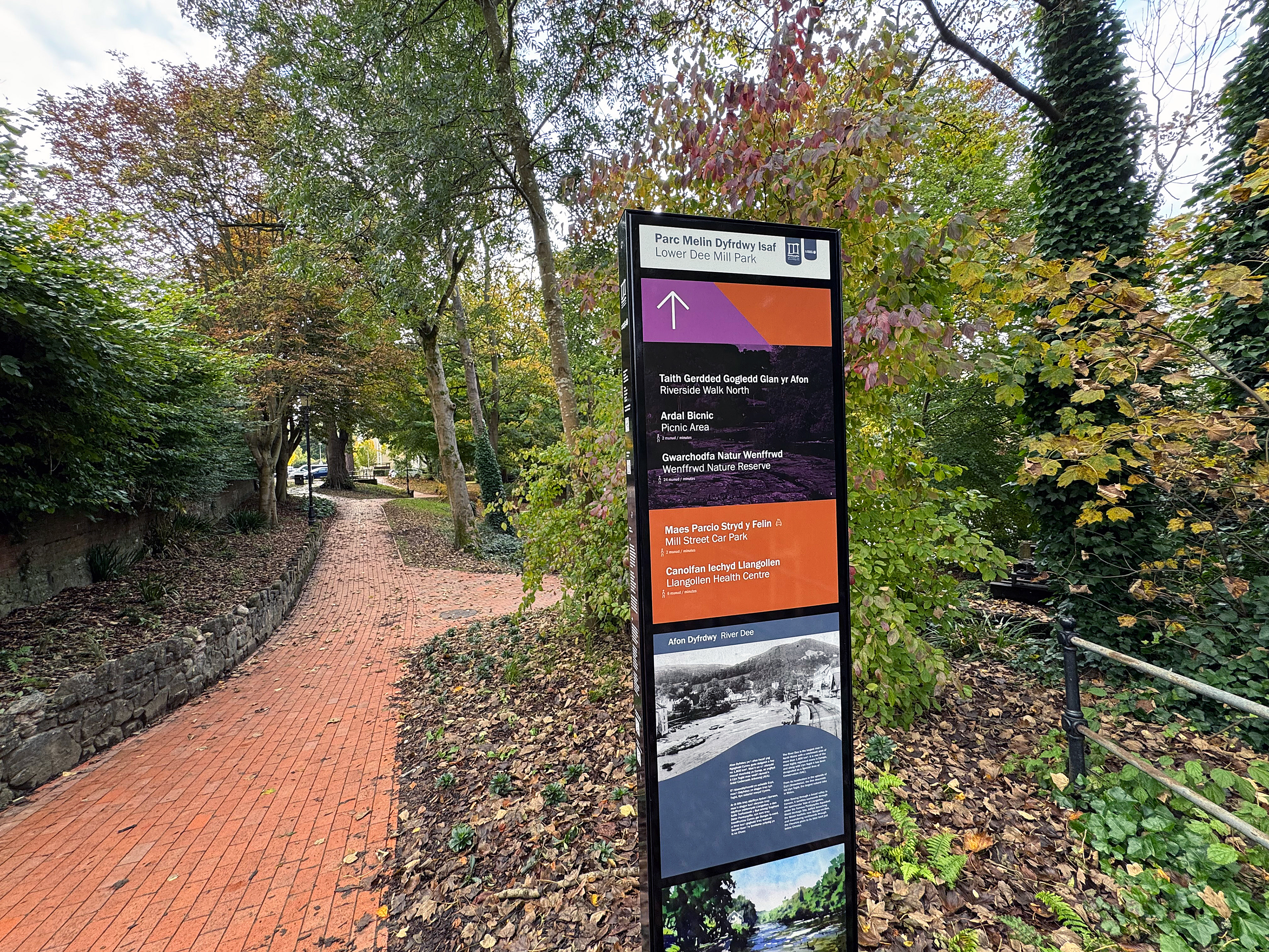
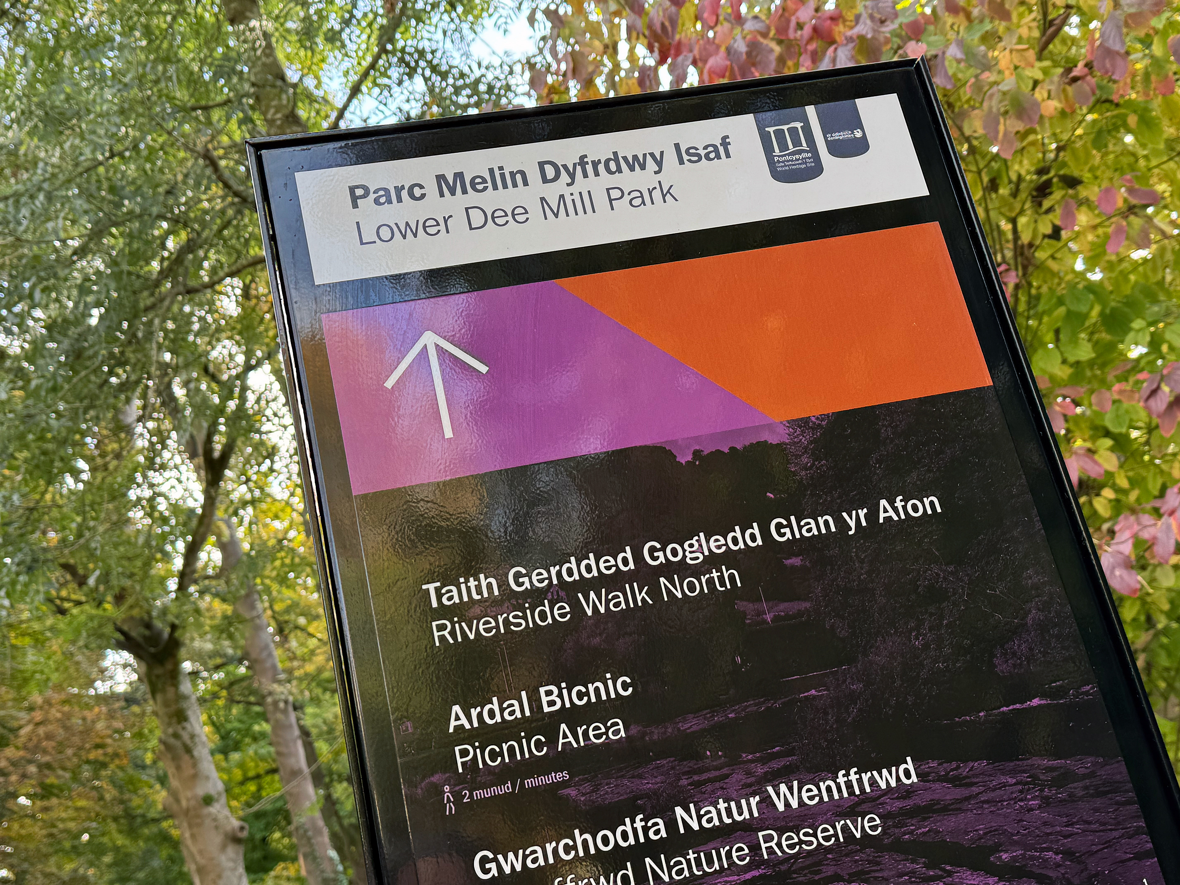
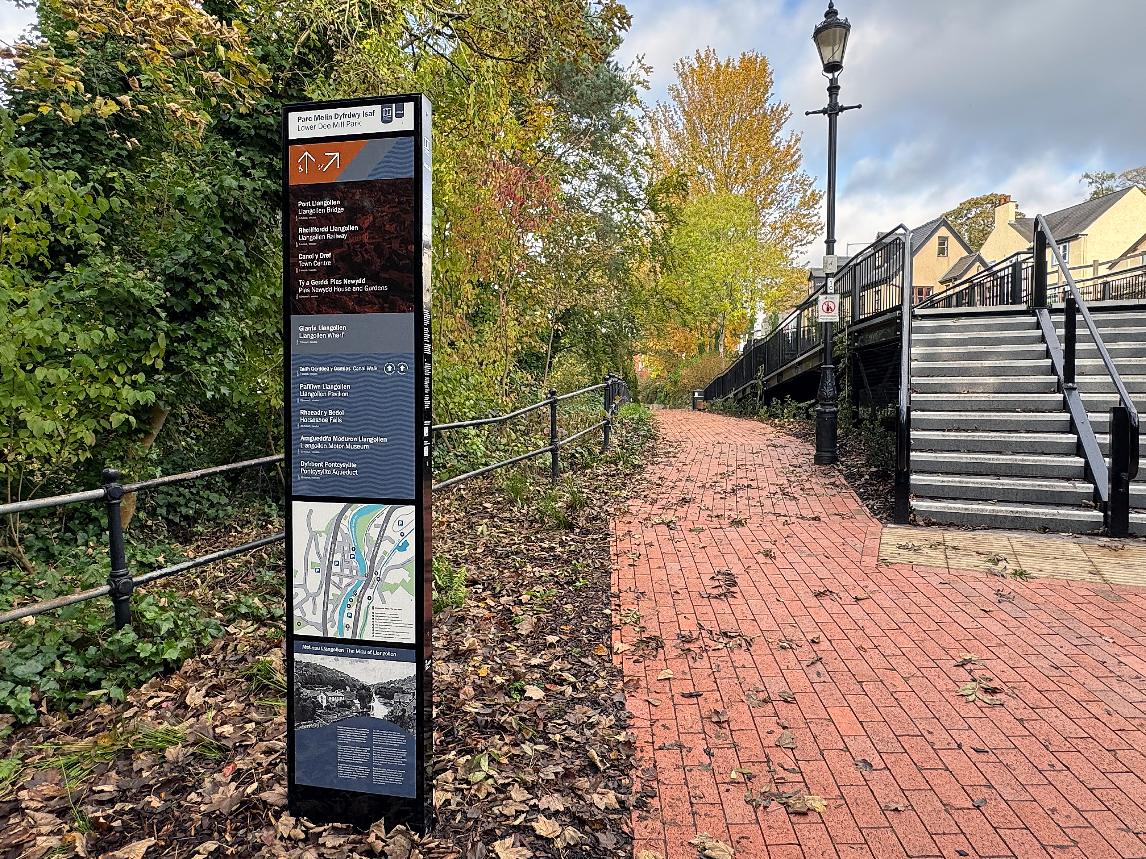
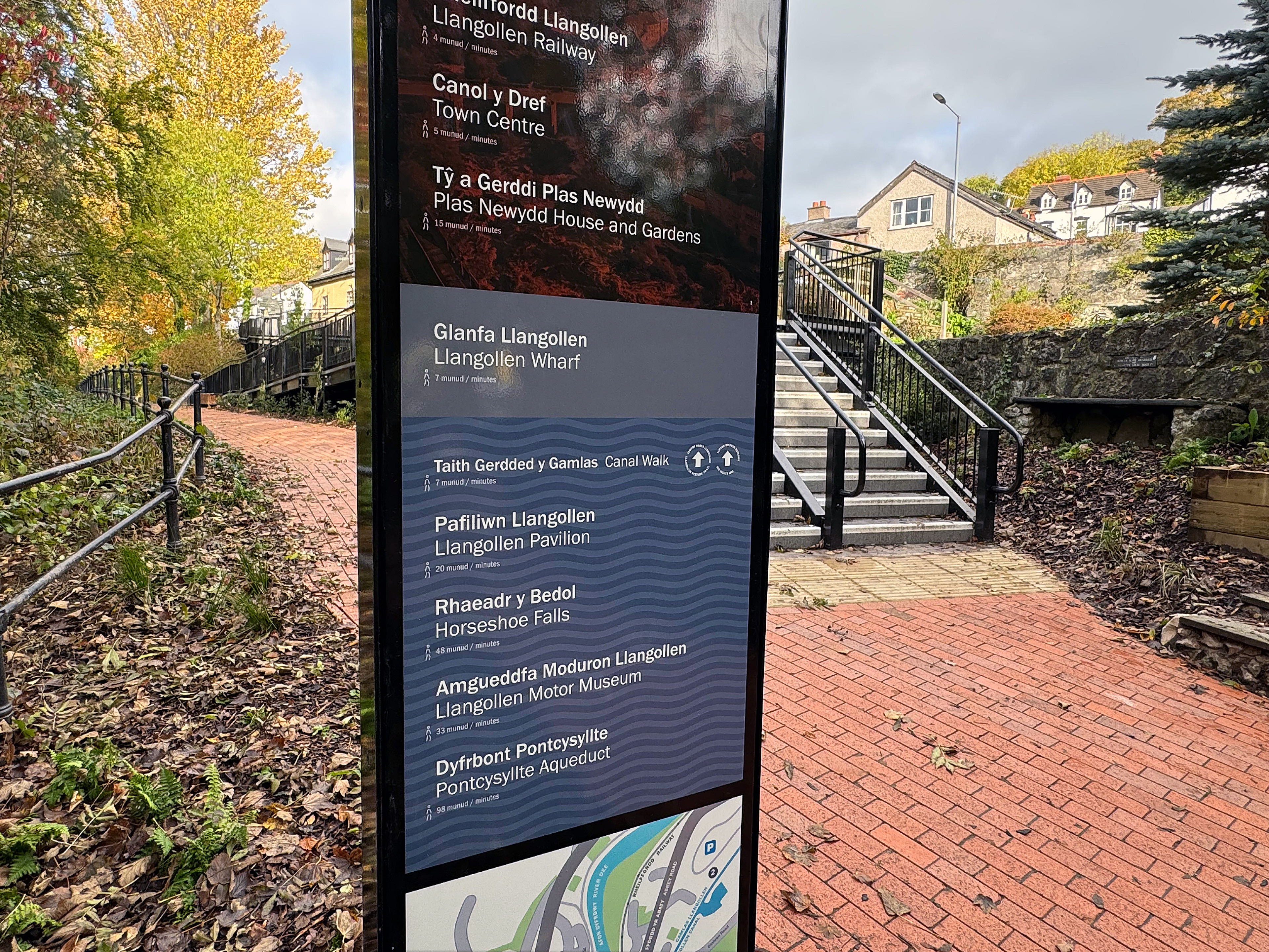
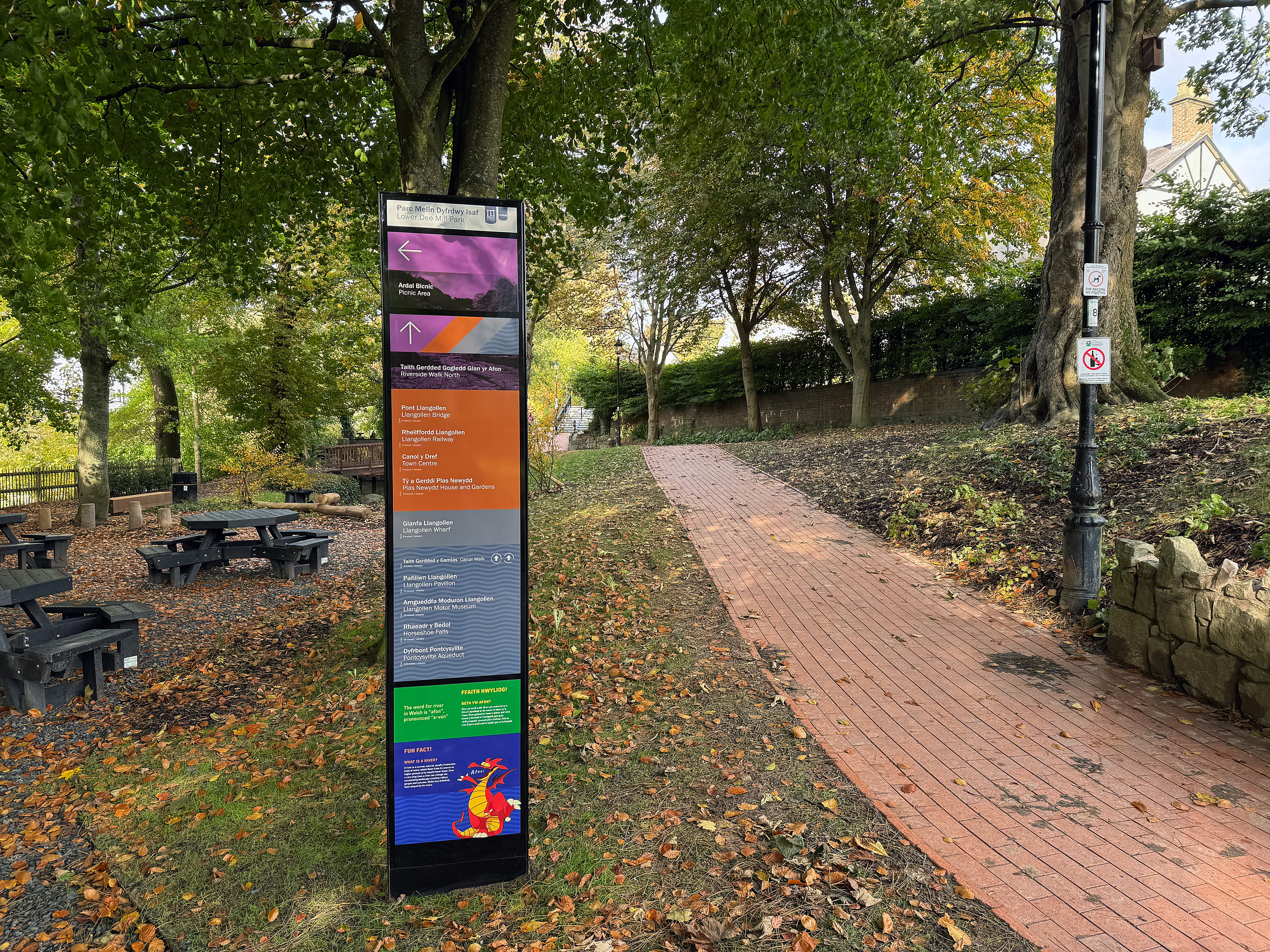
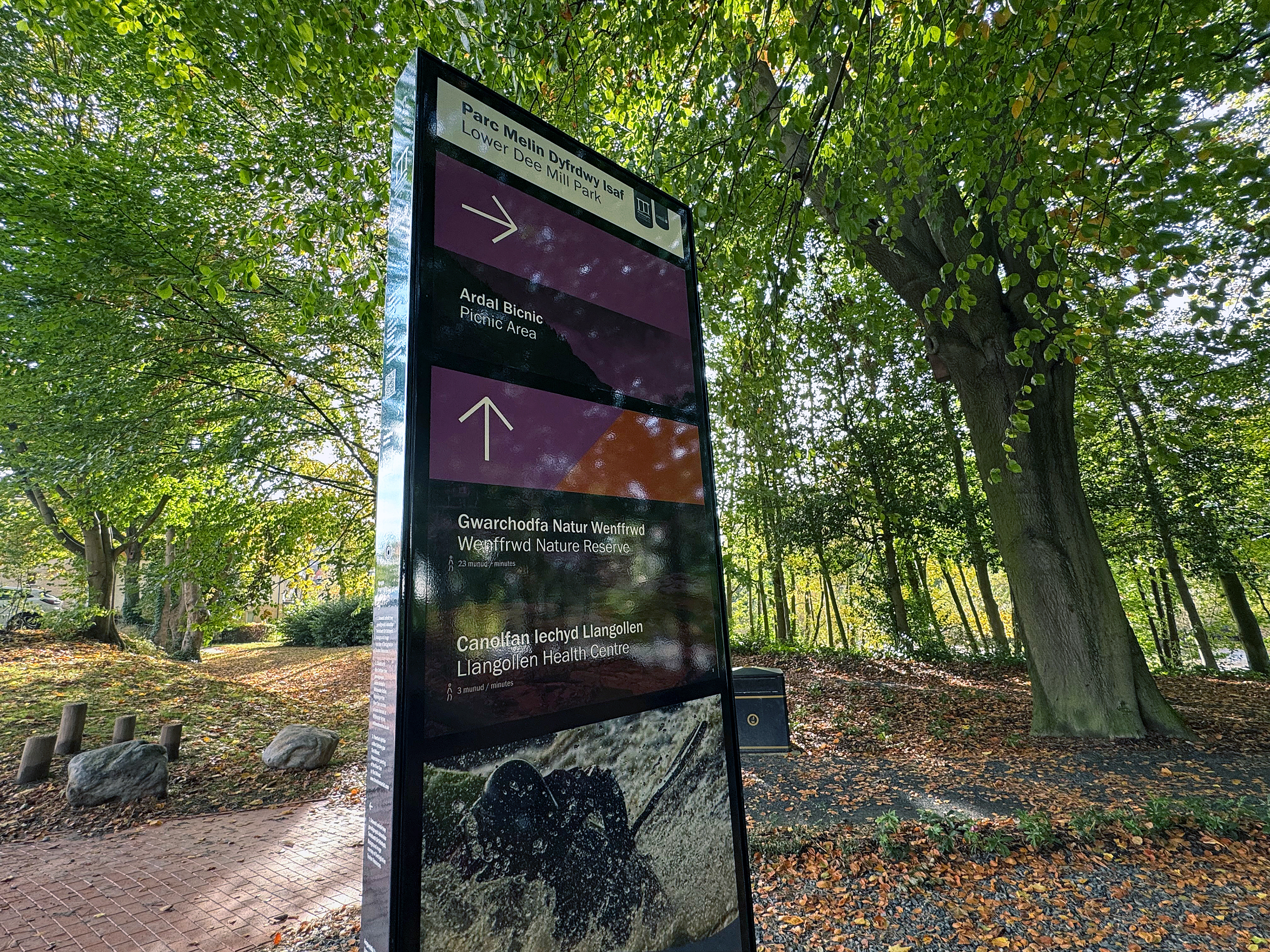
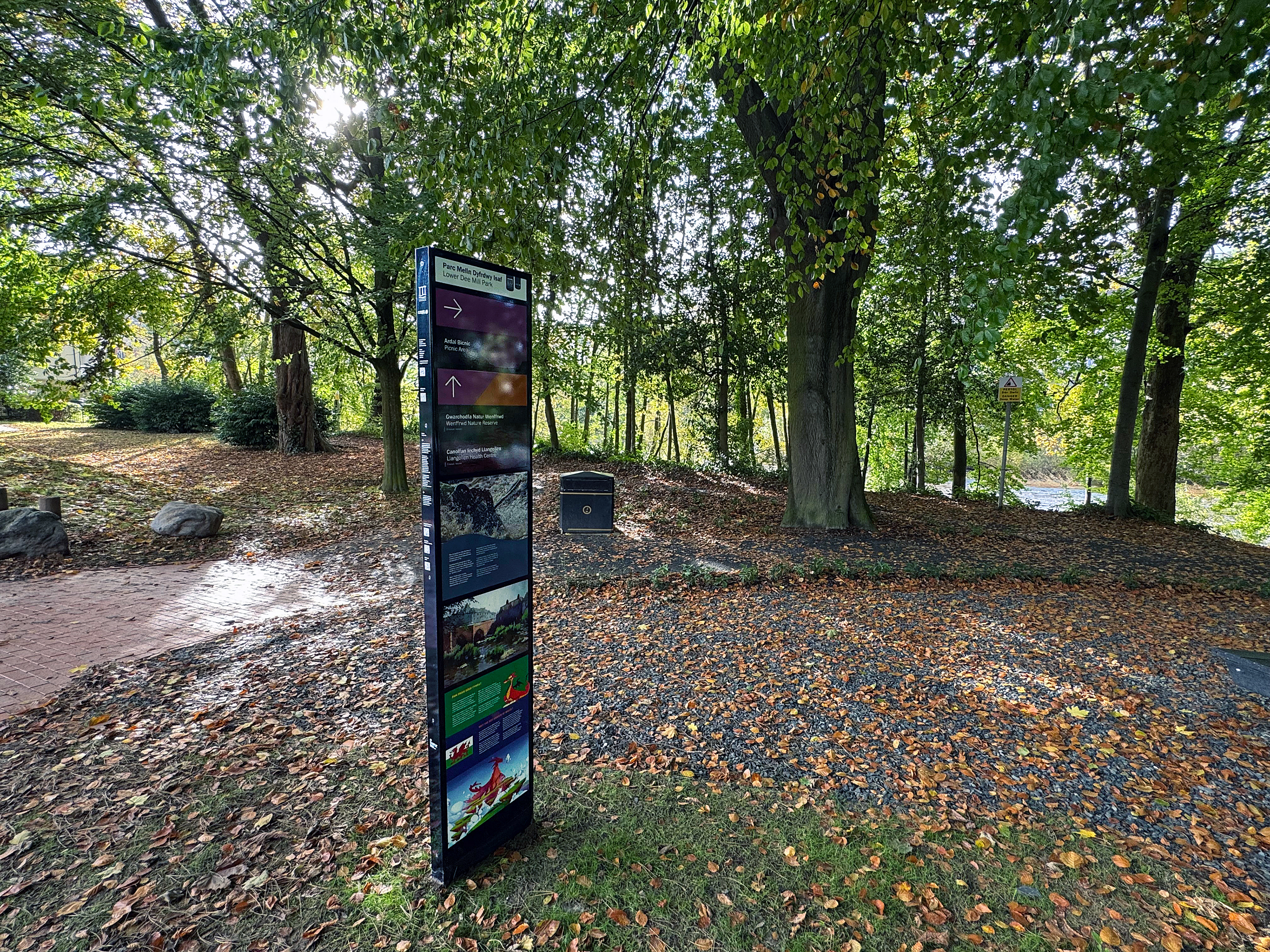
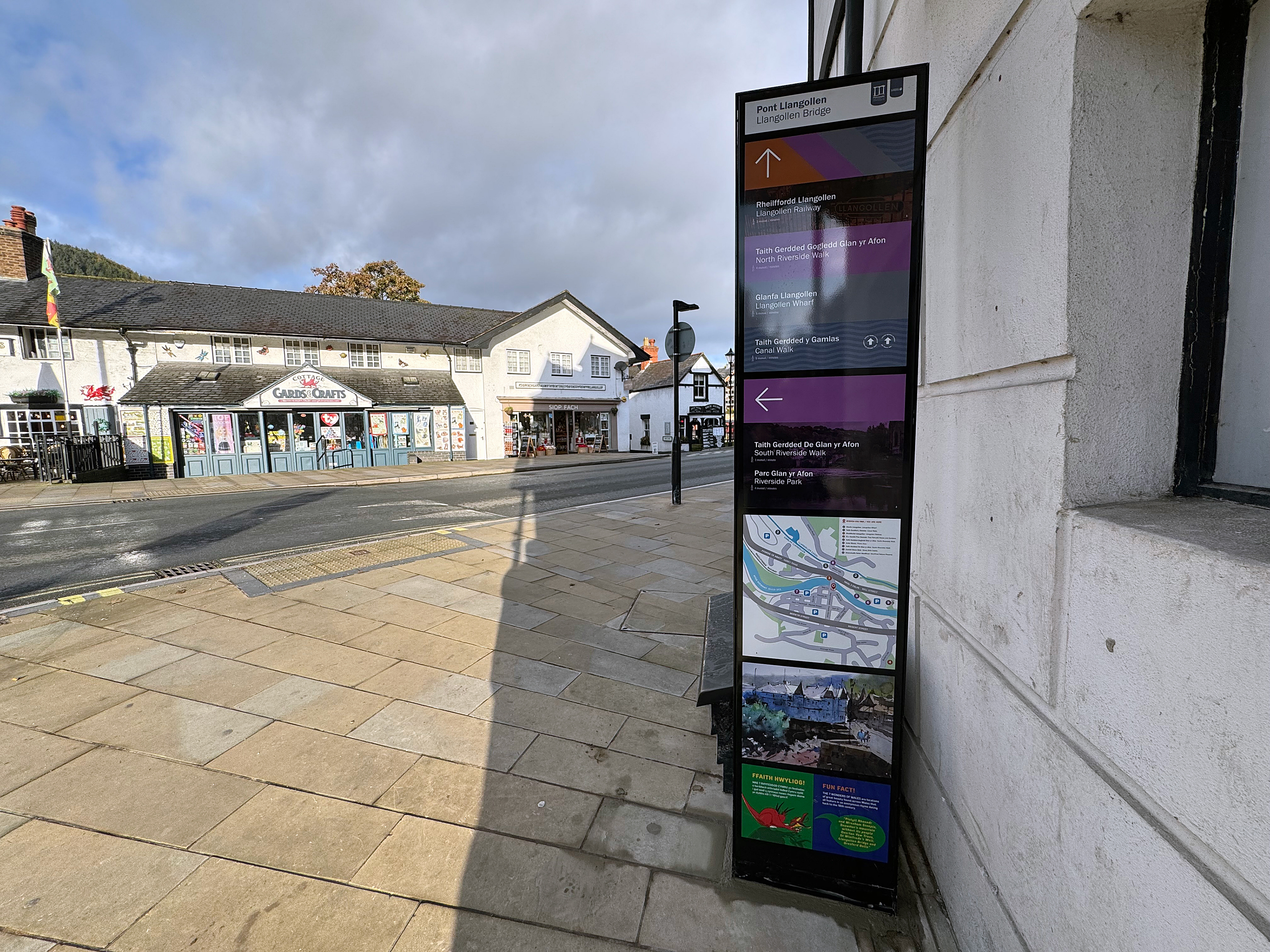
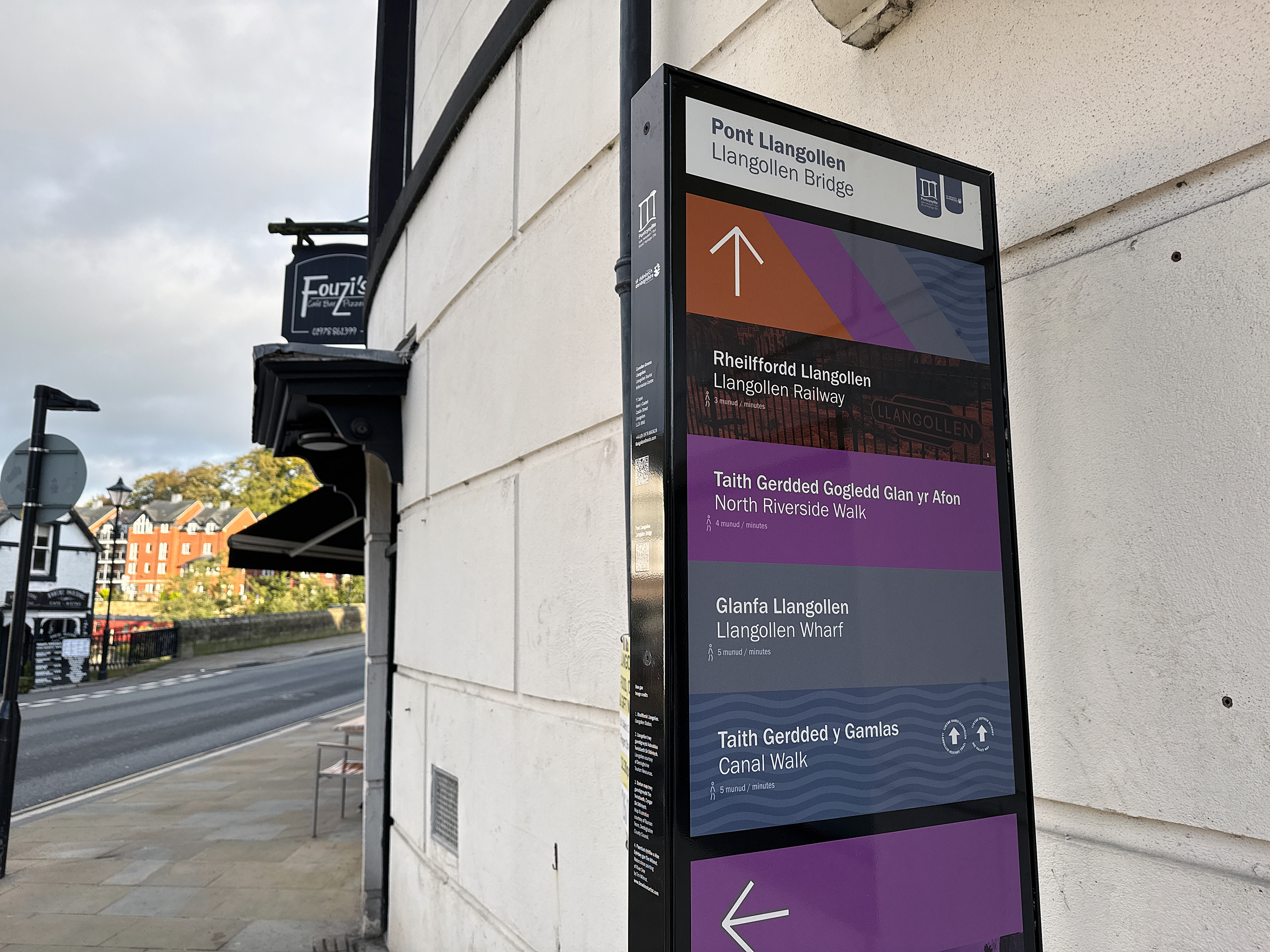
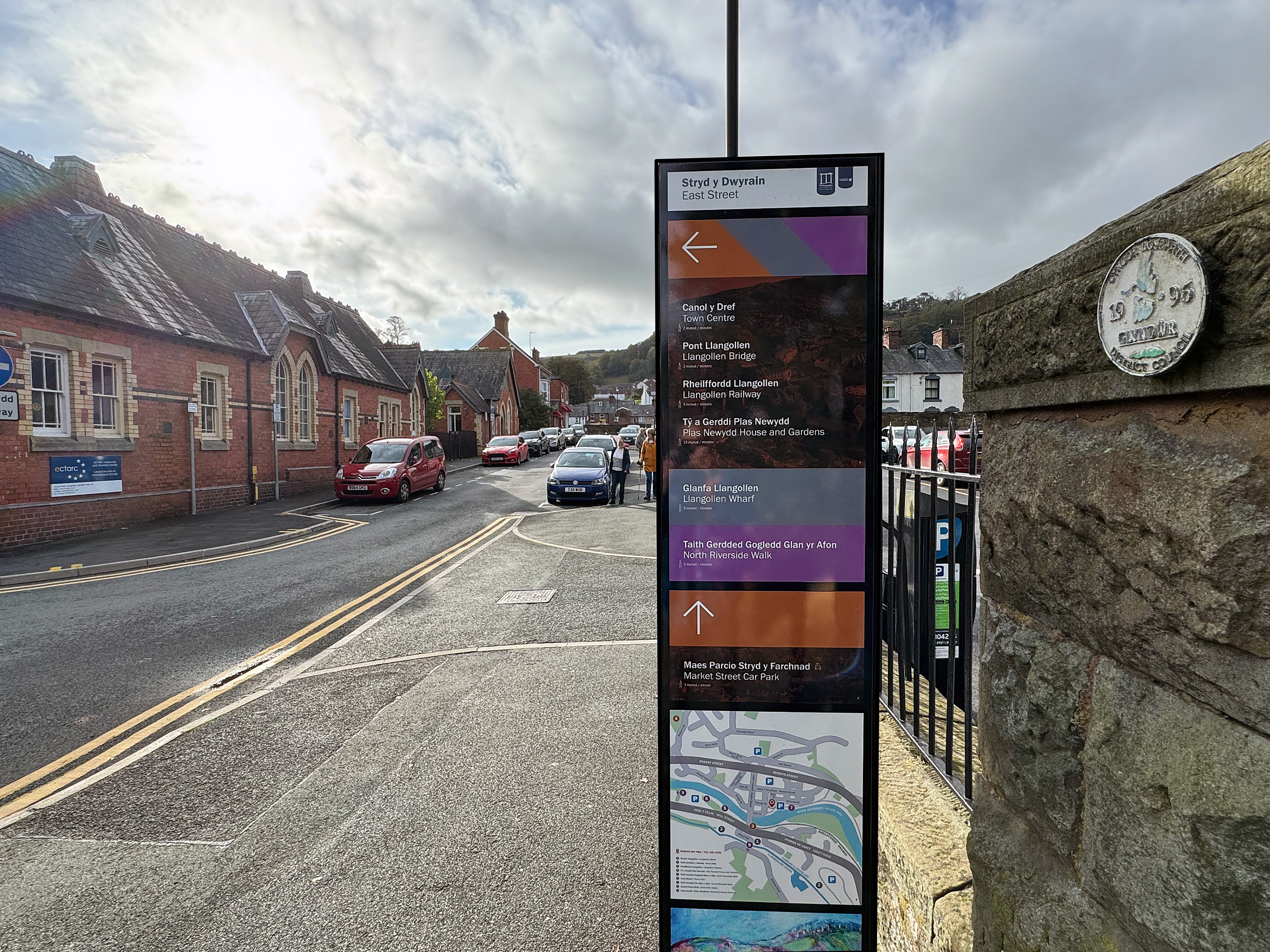
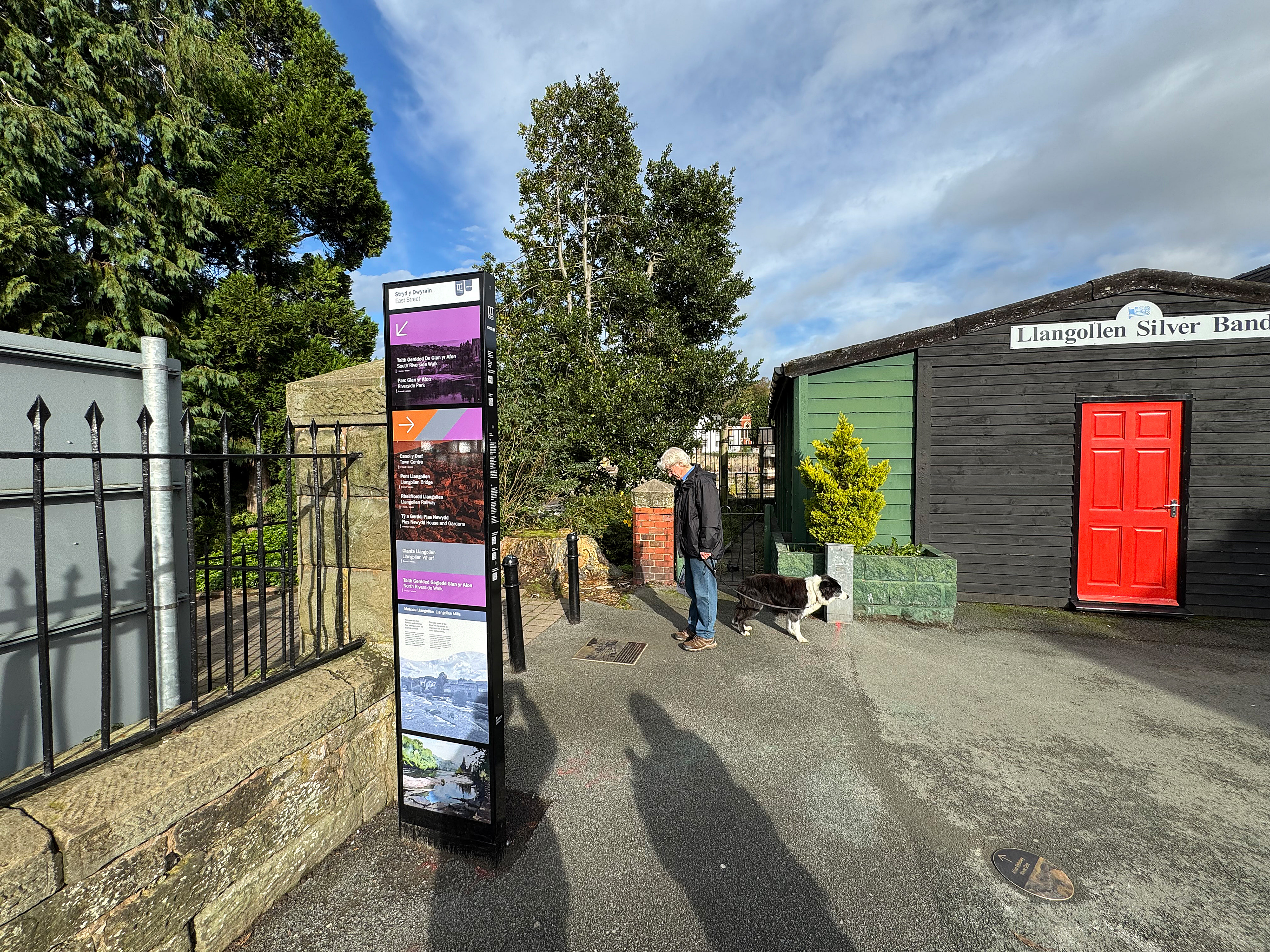
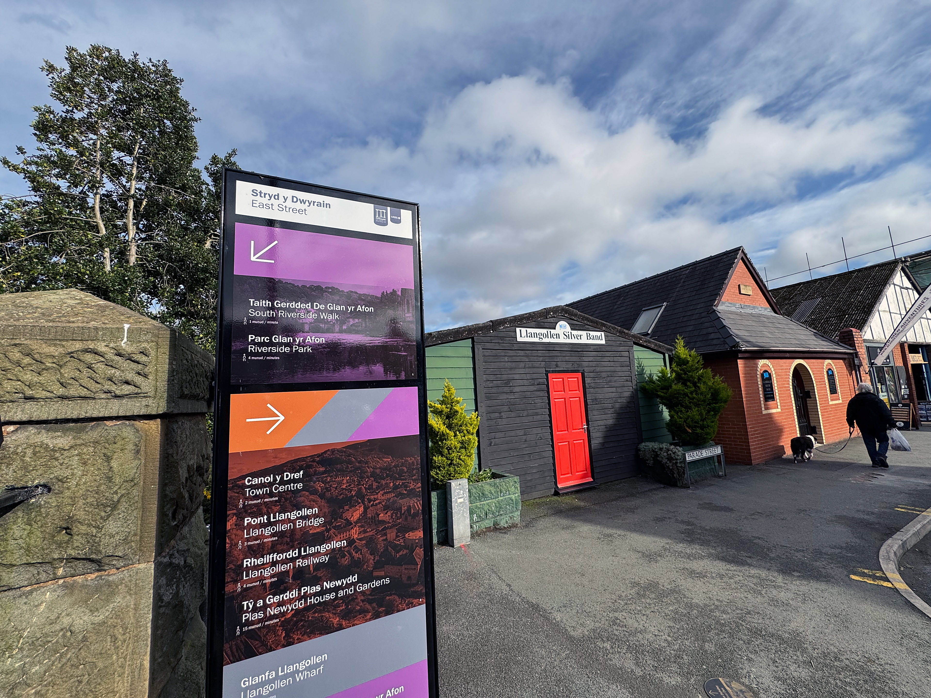
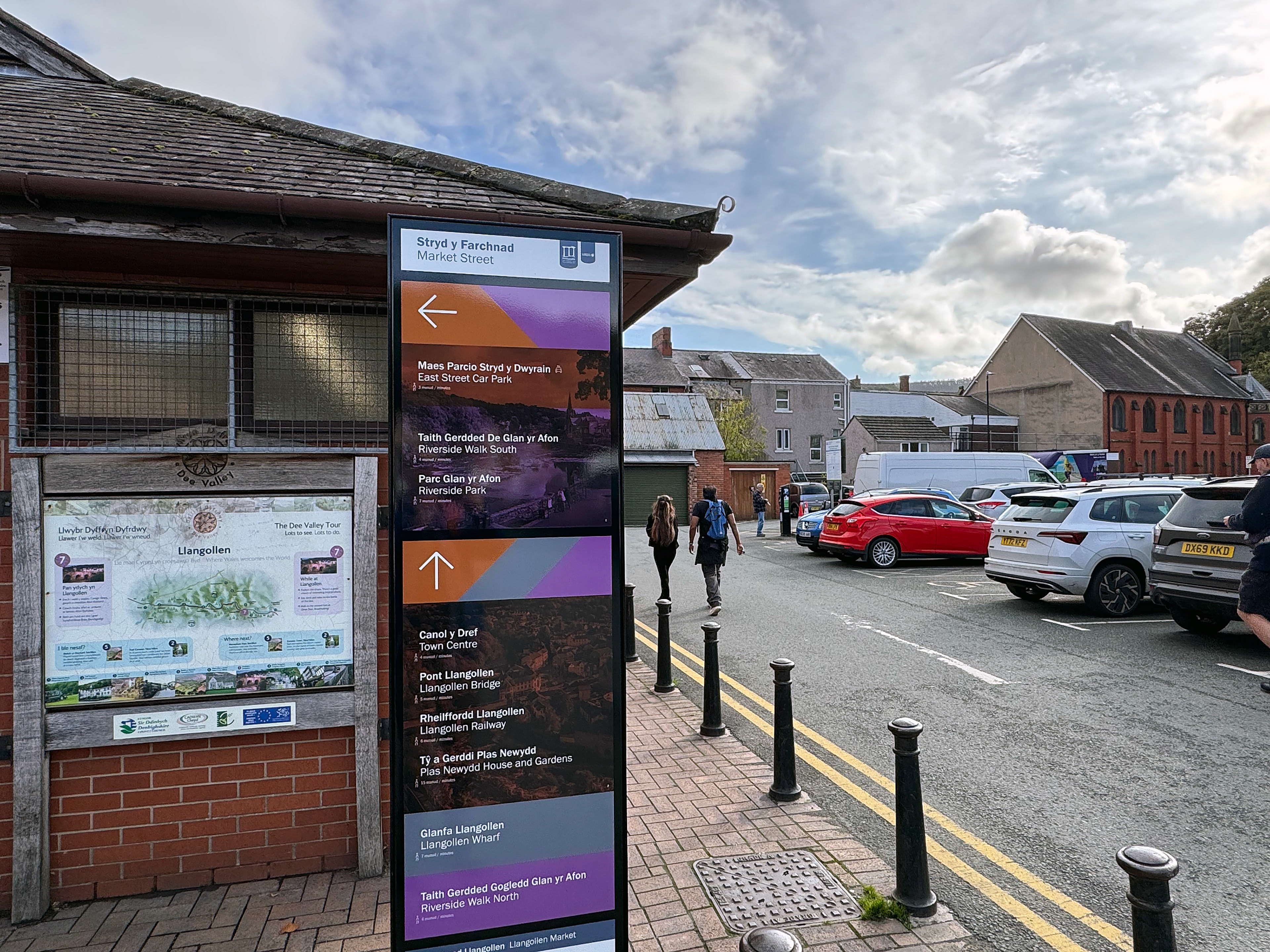
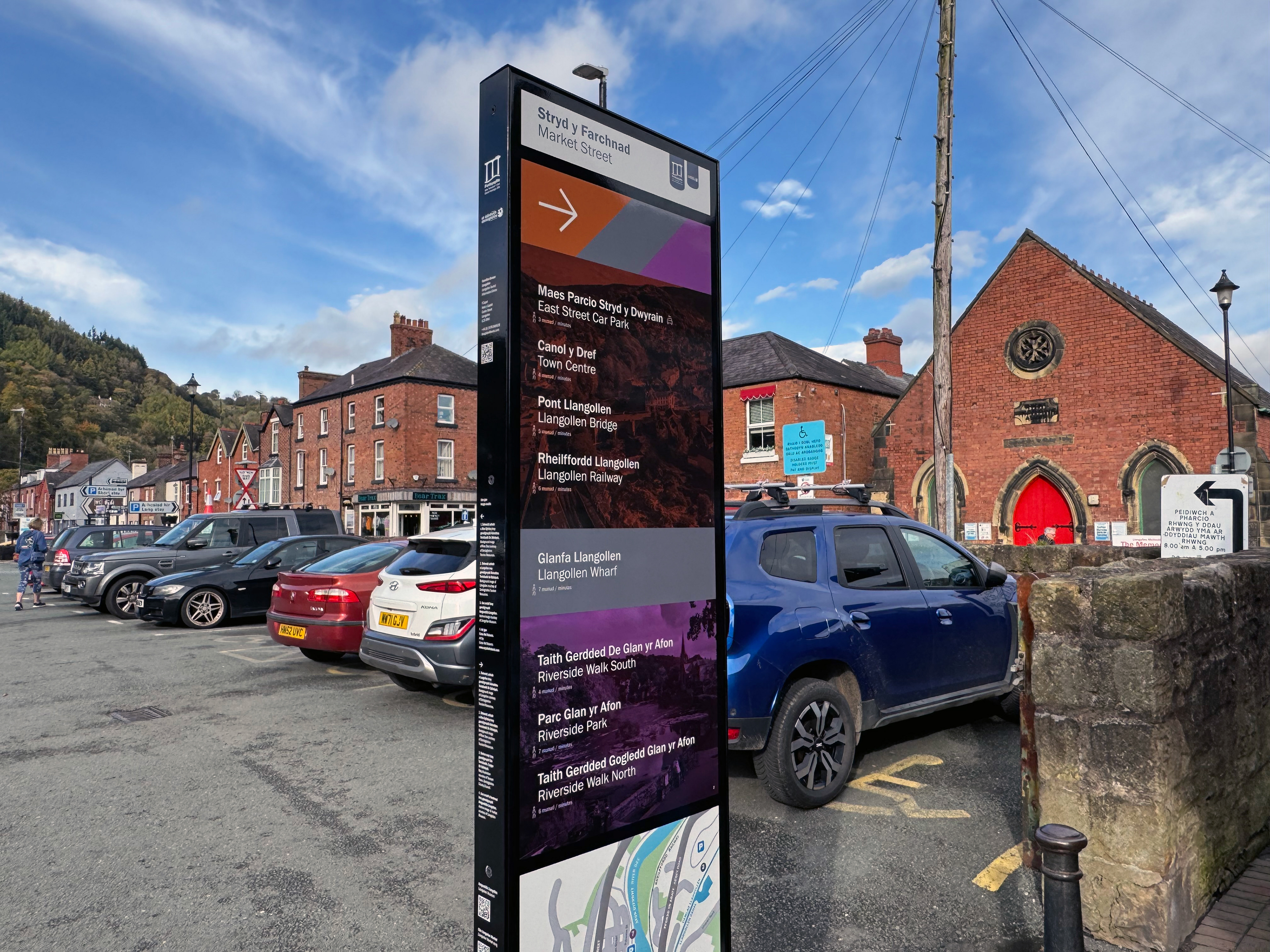
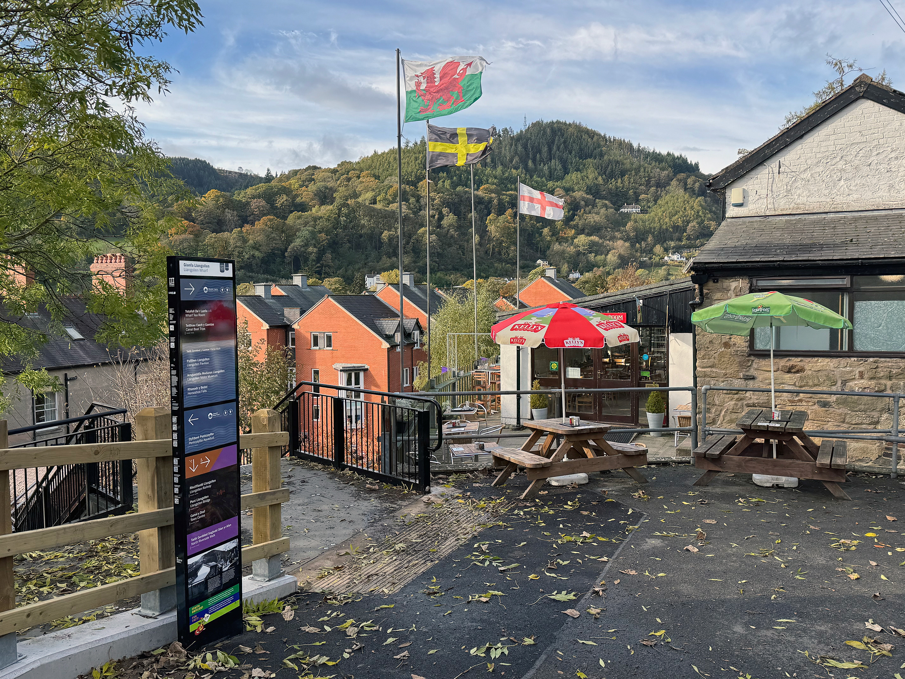
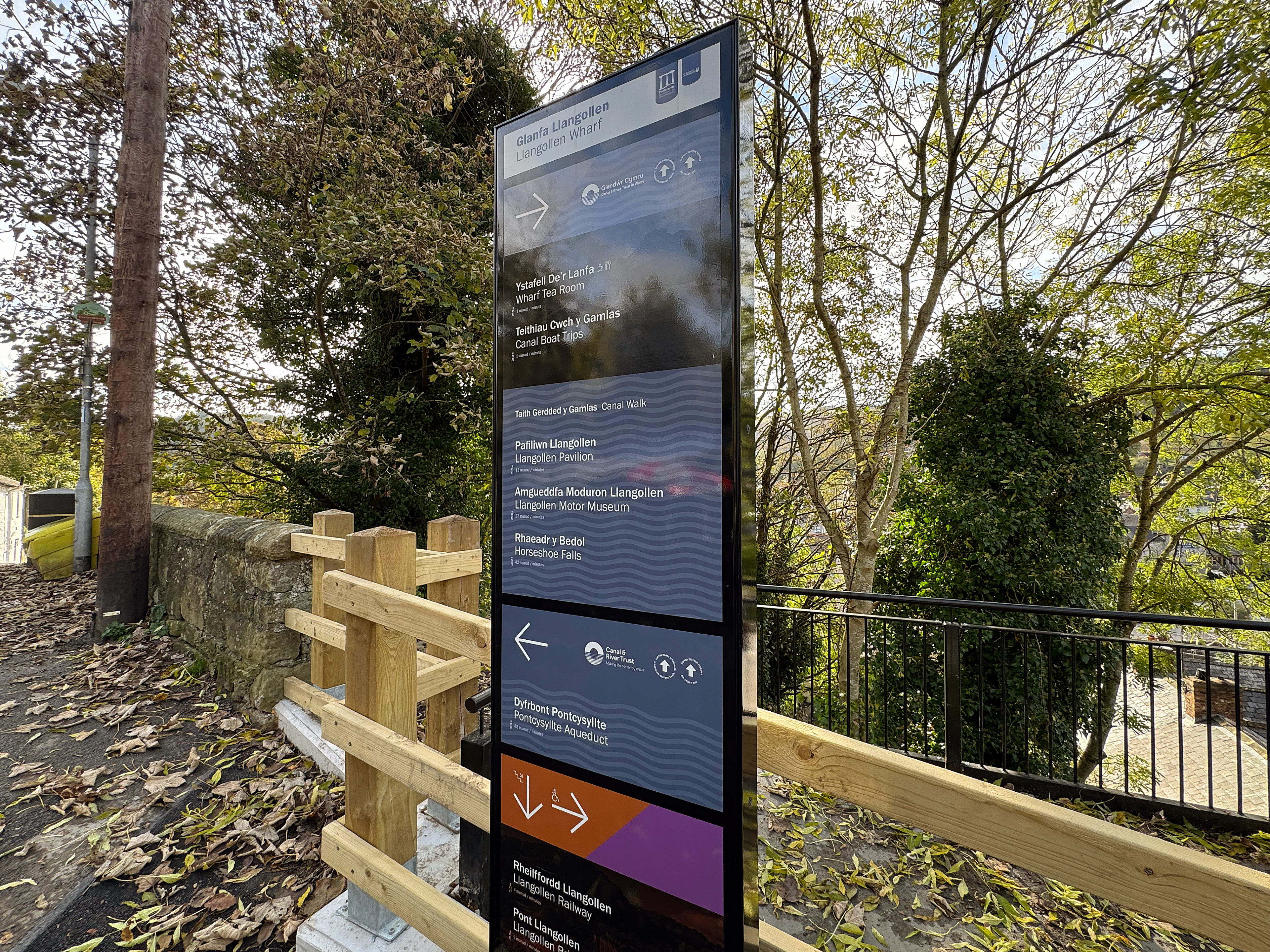
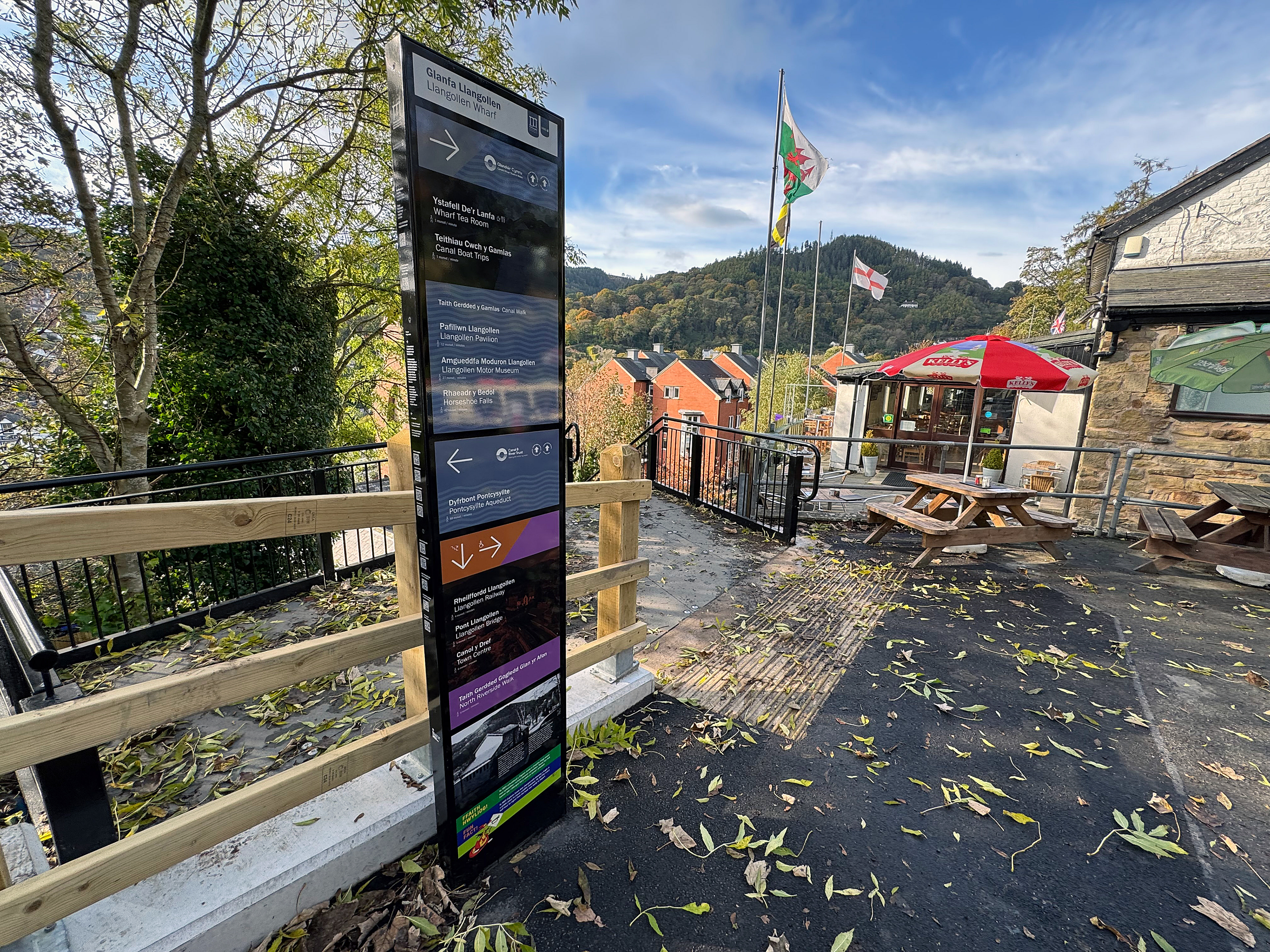
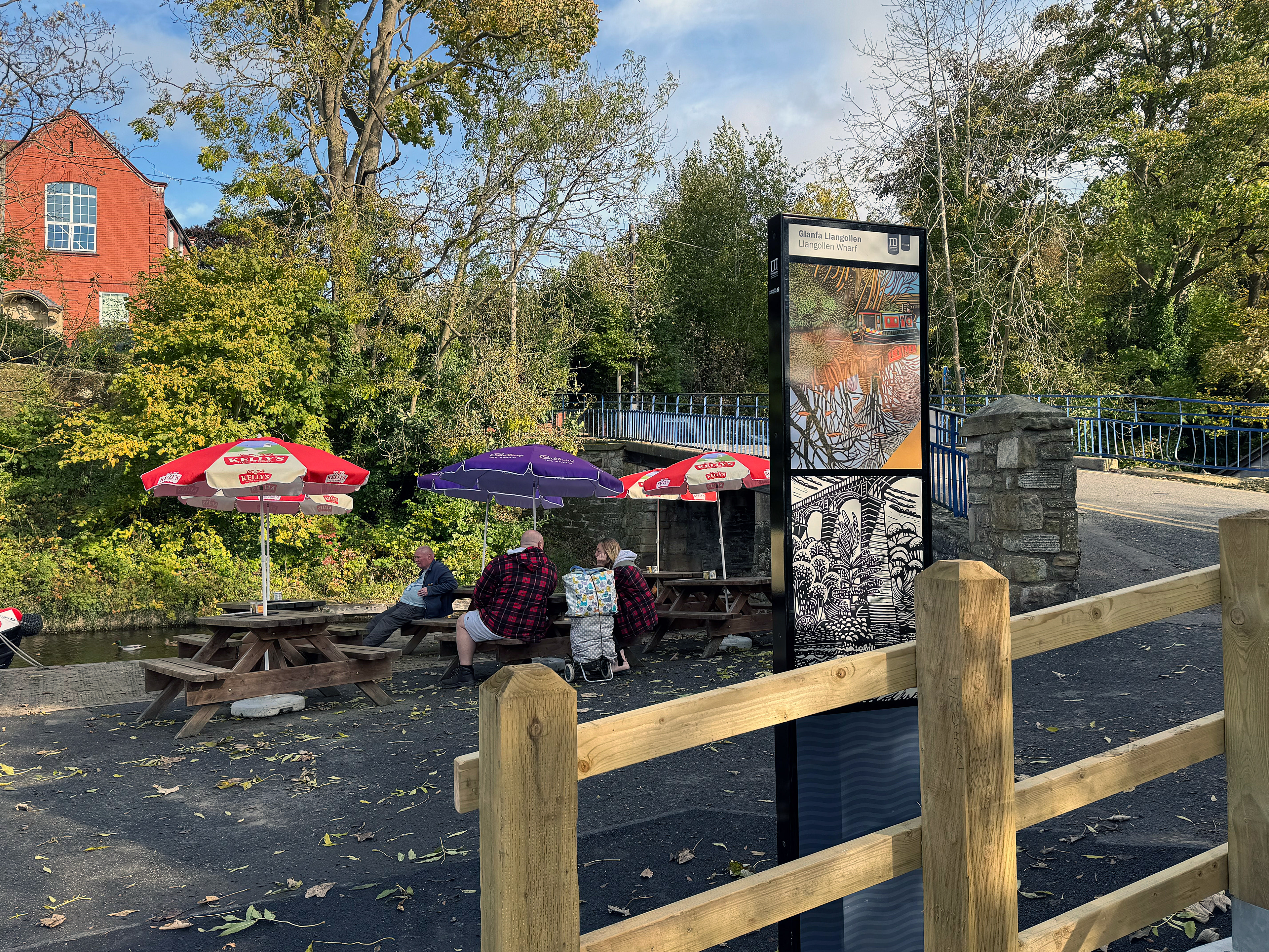
As part of the Four Great Highways project and the wider Clwyd South Levelling Up Fund programme, Richard Wolfströme developed a new wayfinding and interpretation system to strengthen legibility, reveal local stories and encourage exploration across the town.
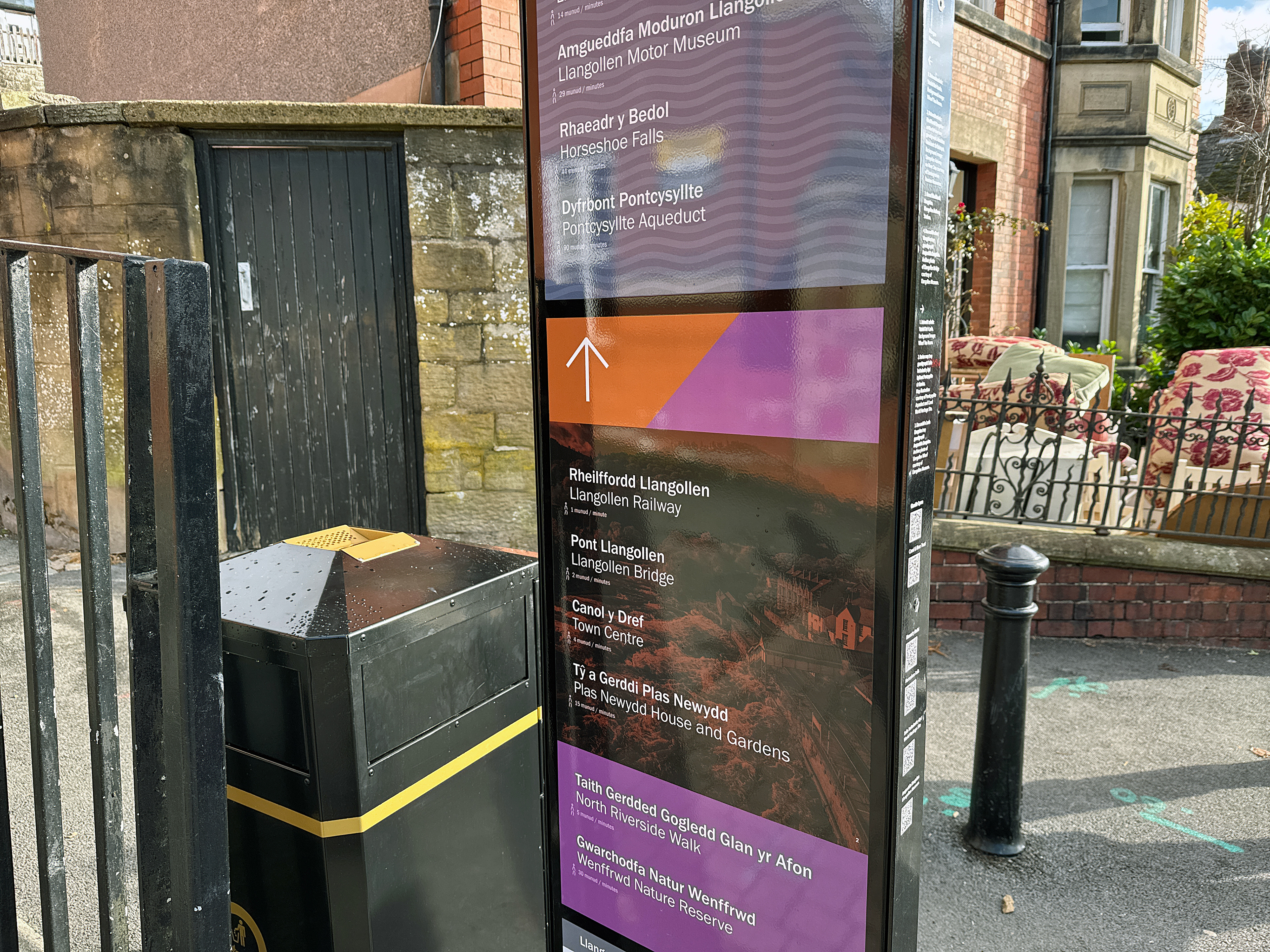
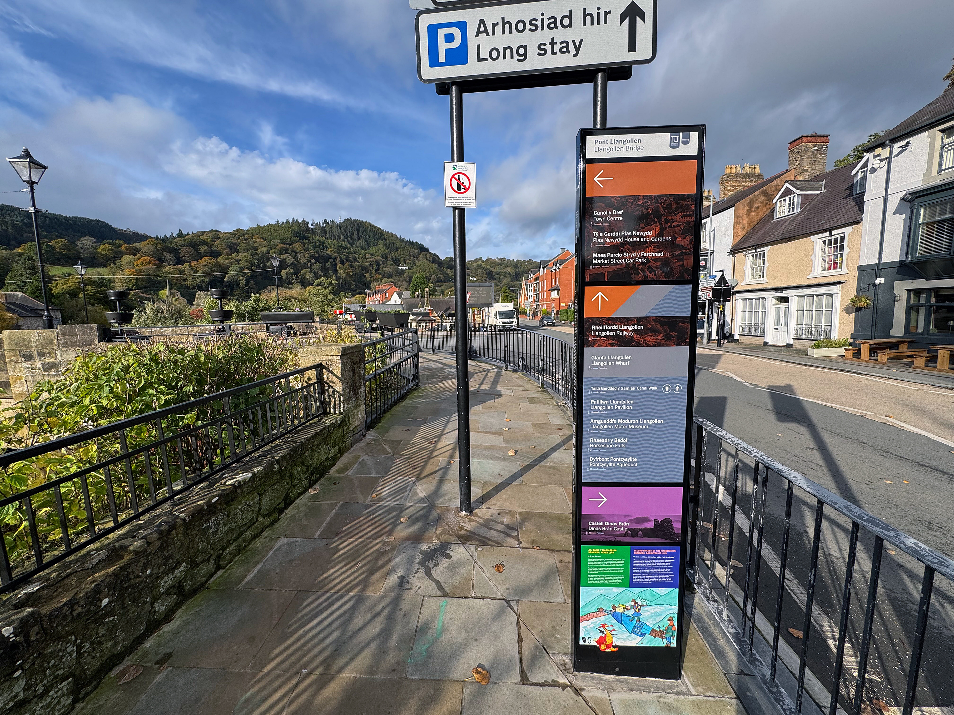
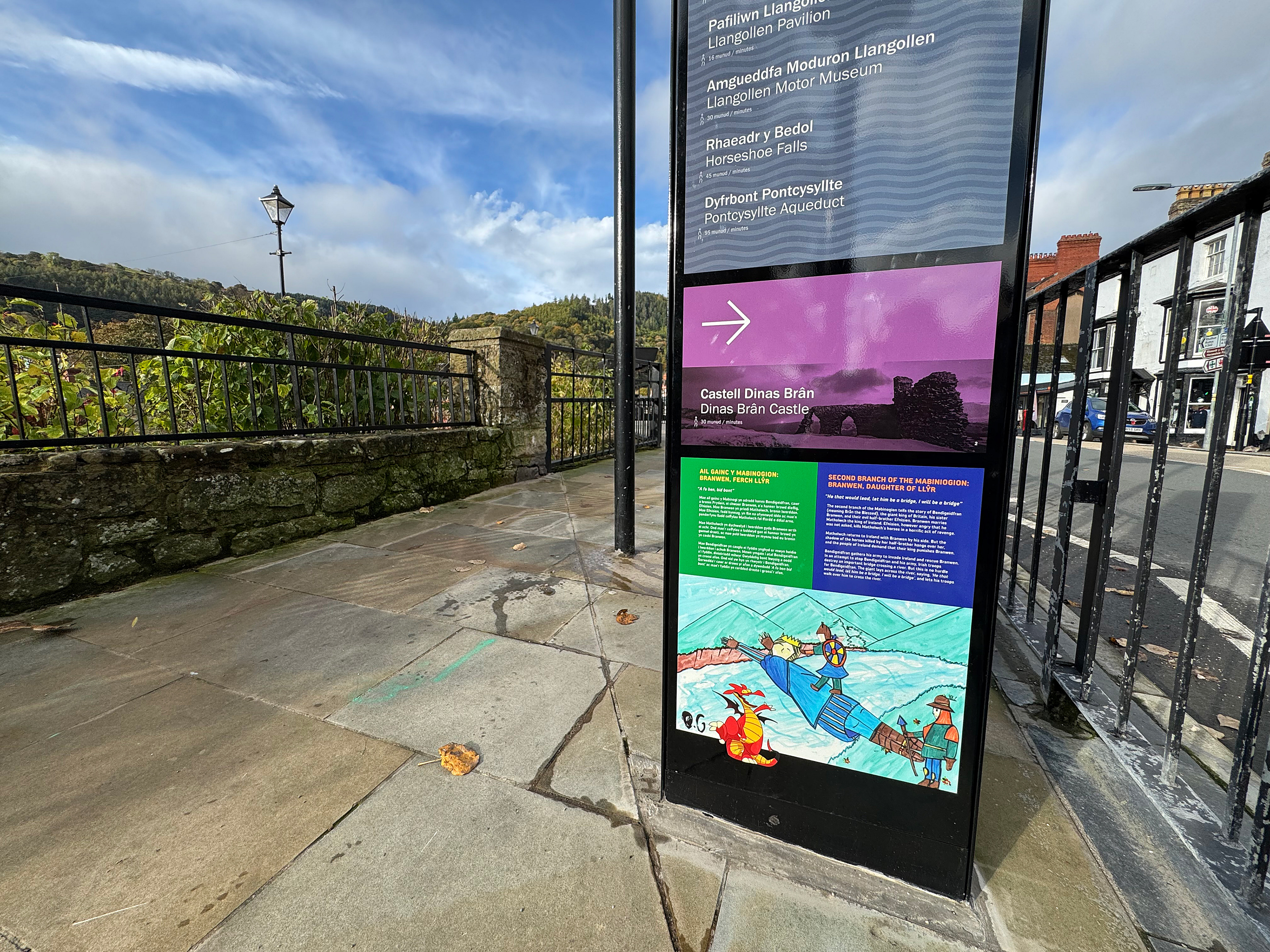
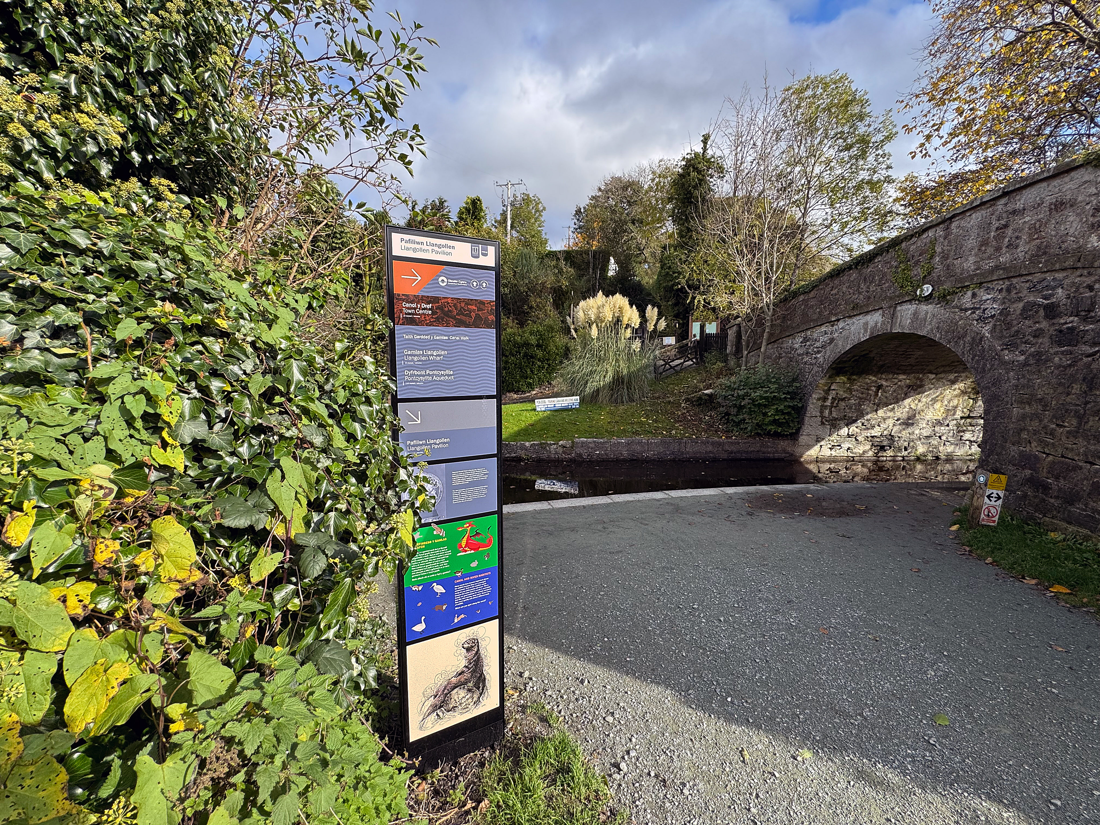
All information is presented bilingually, with Welsh prioritised throughout, and combines clear navigation with layered interpretation covering Llangollen’s history, heritage, landscape and contemporary life. Children’s activities, archive material and contributions from local and regional artists add further depth and variety.
A competition with Ysgol Dinas Brân Secondary School also invited young people to contribute creatively to the scheme, including an illustration of Bendigeidfran used within one of the bridge totems.
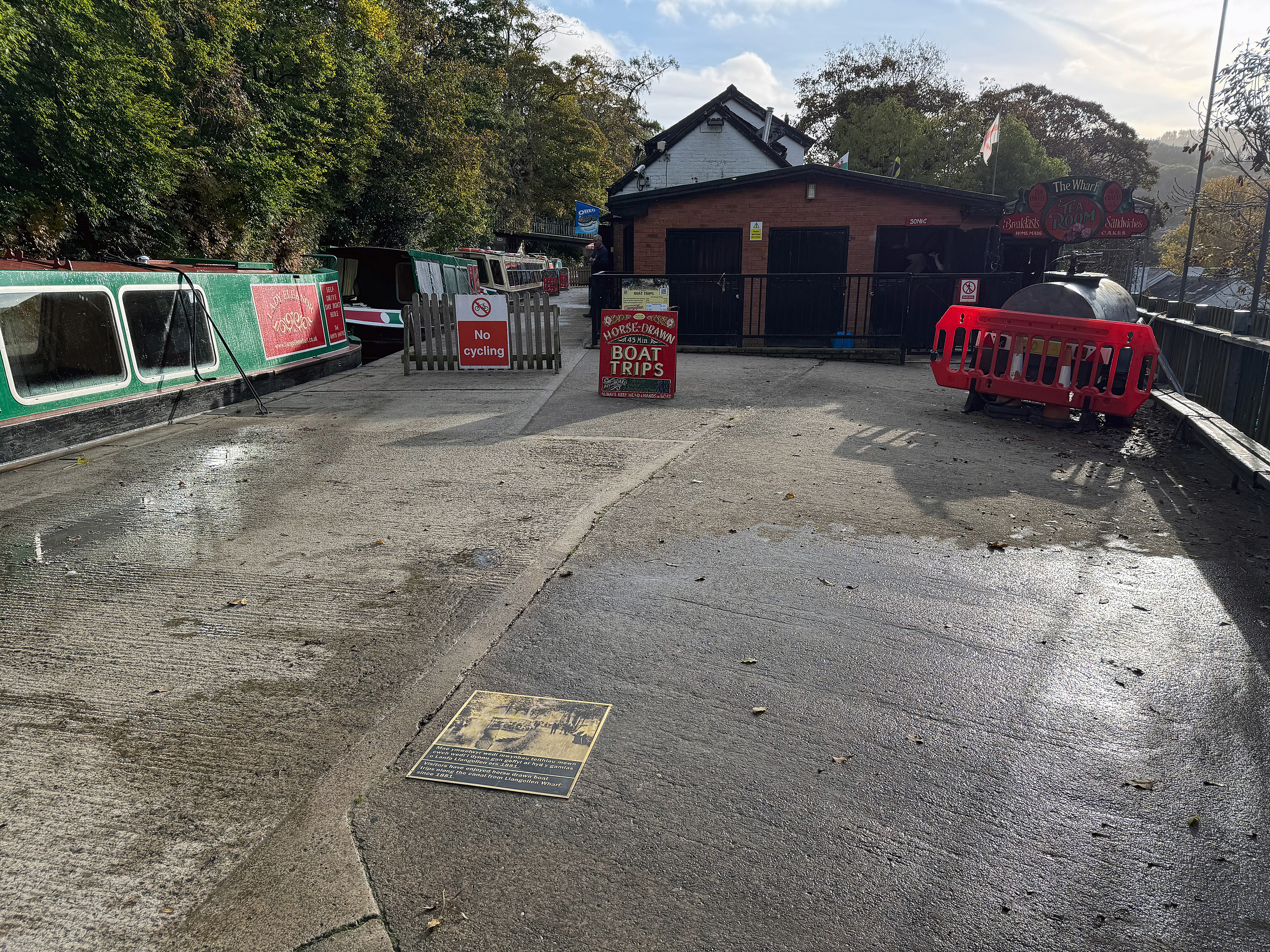
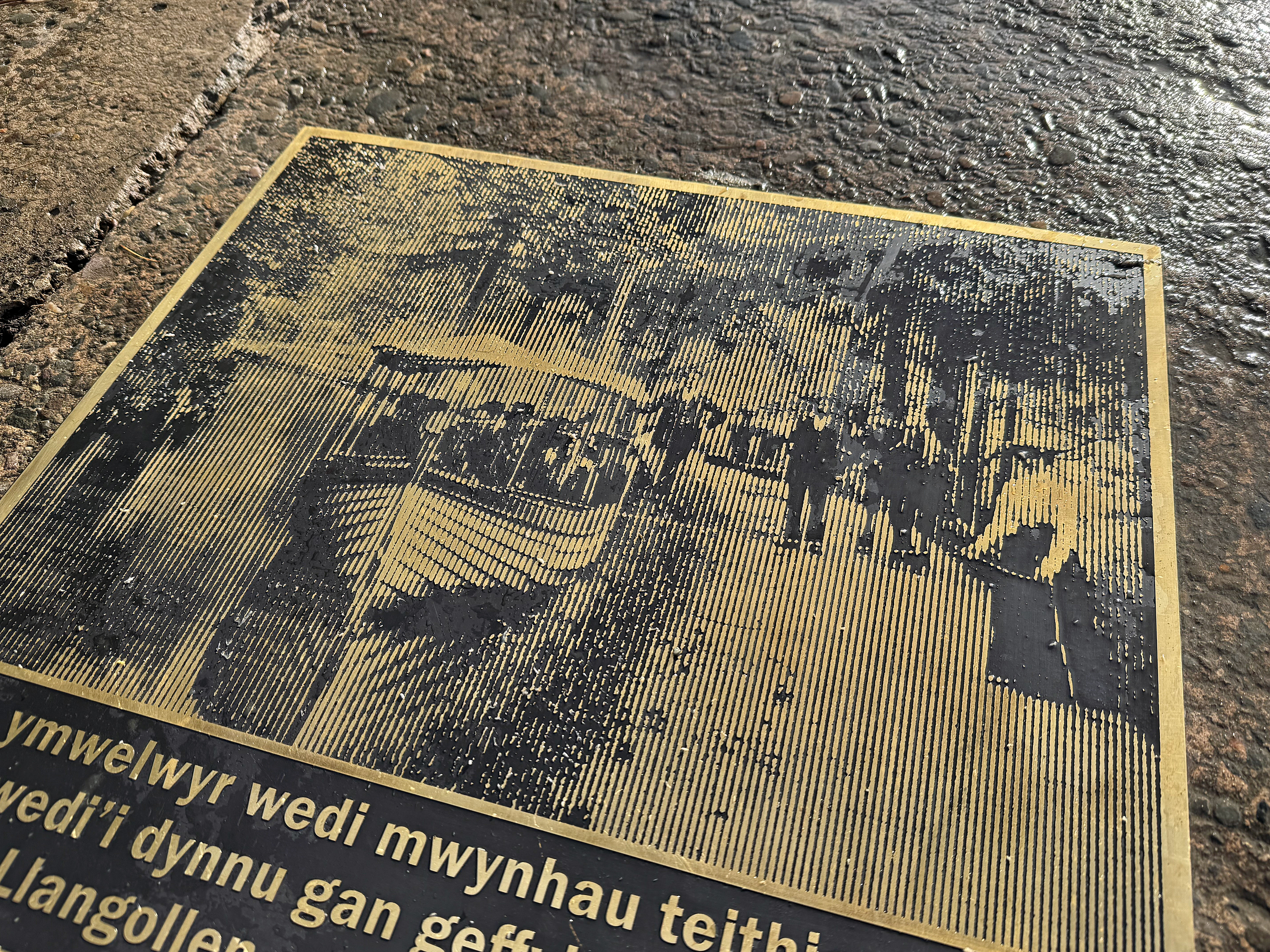
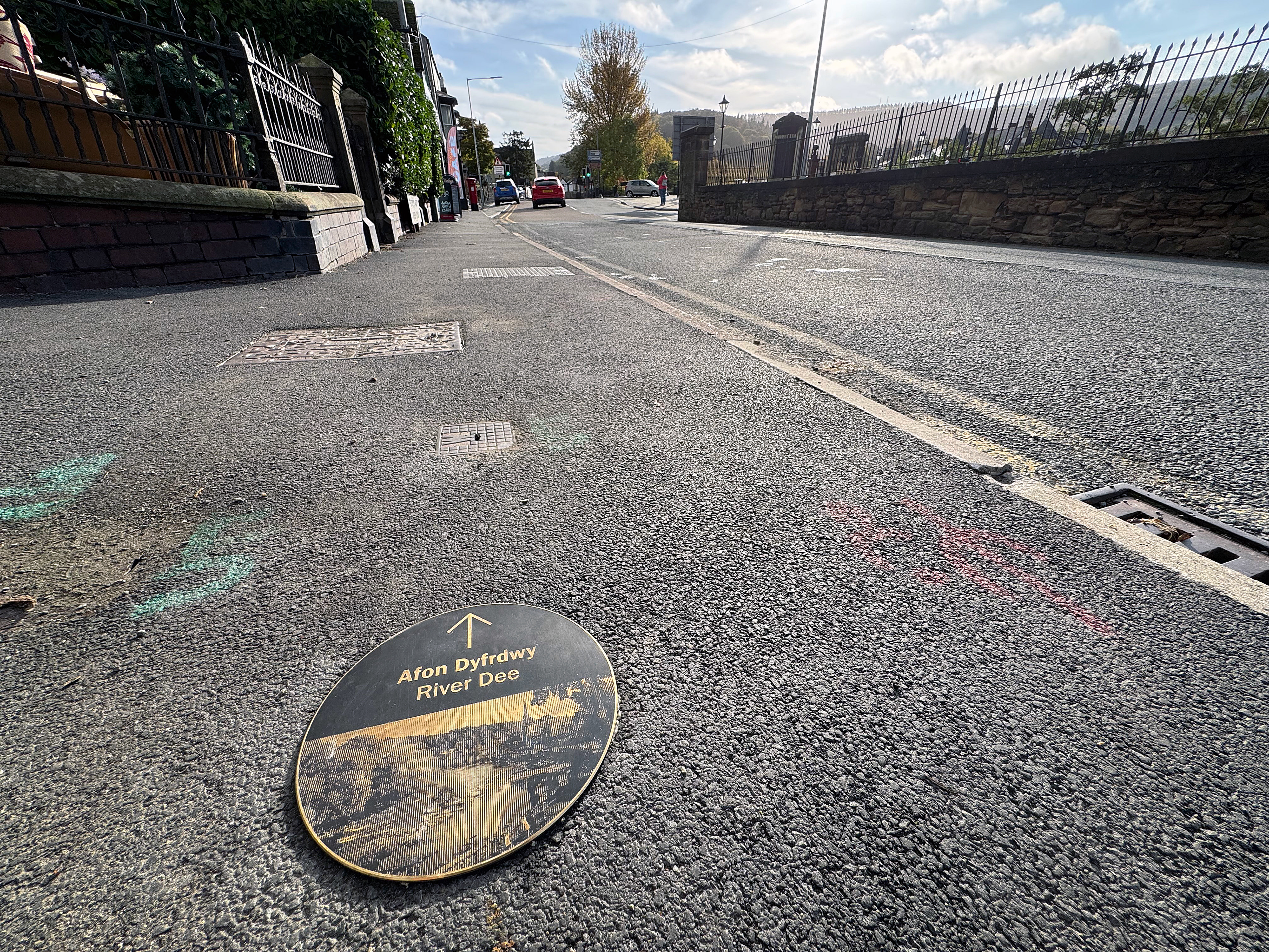
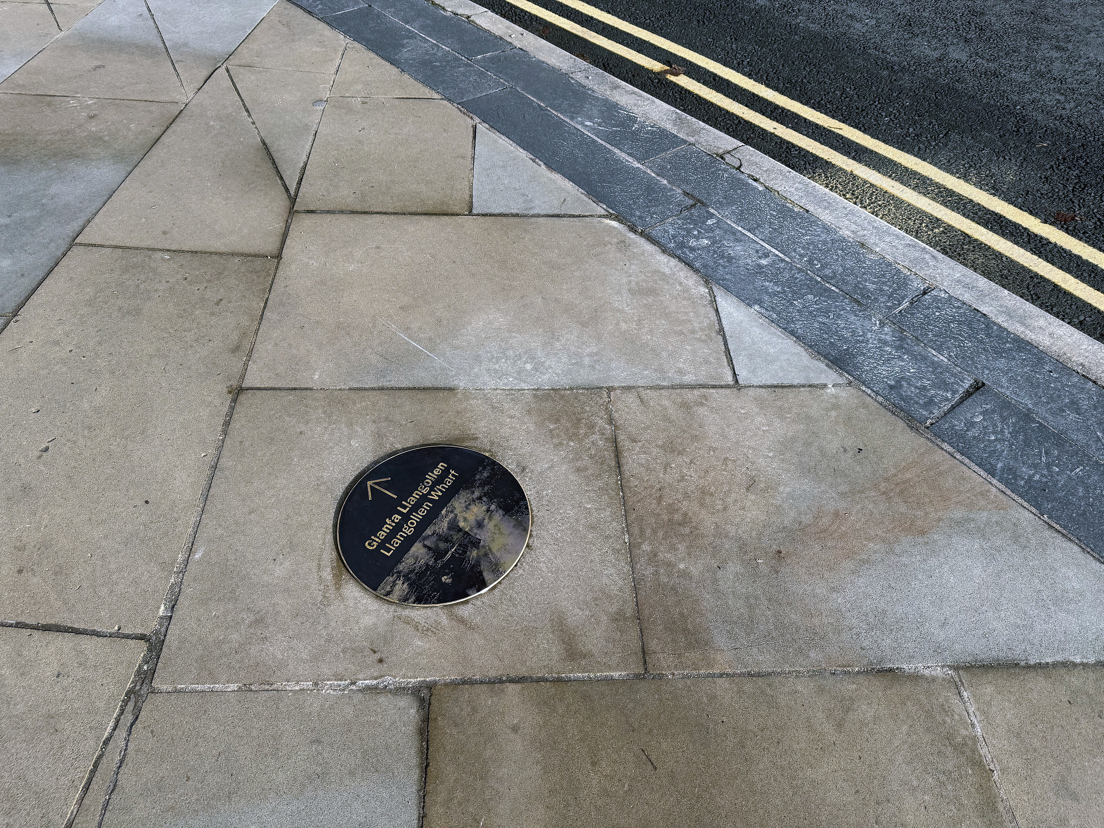
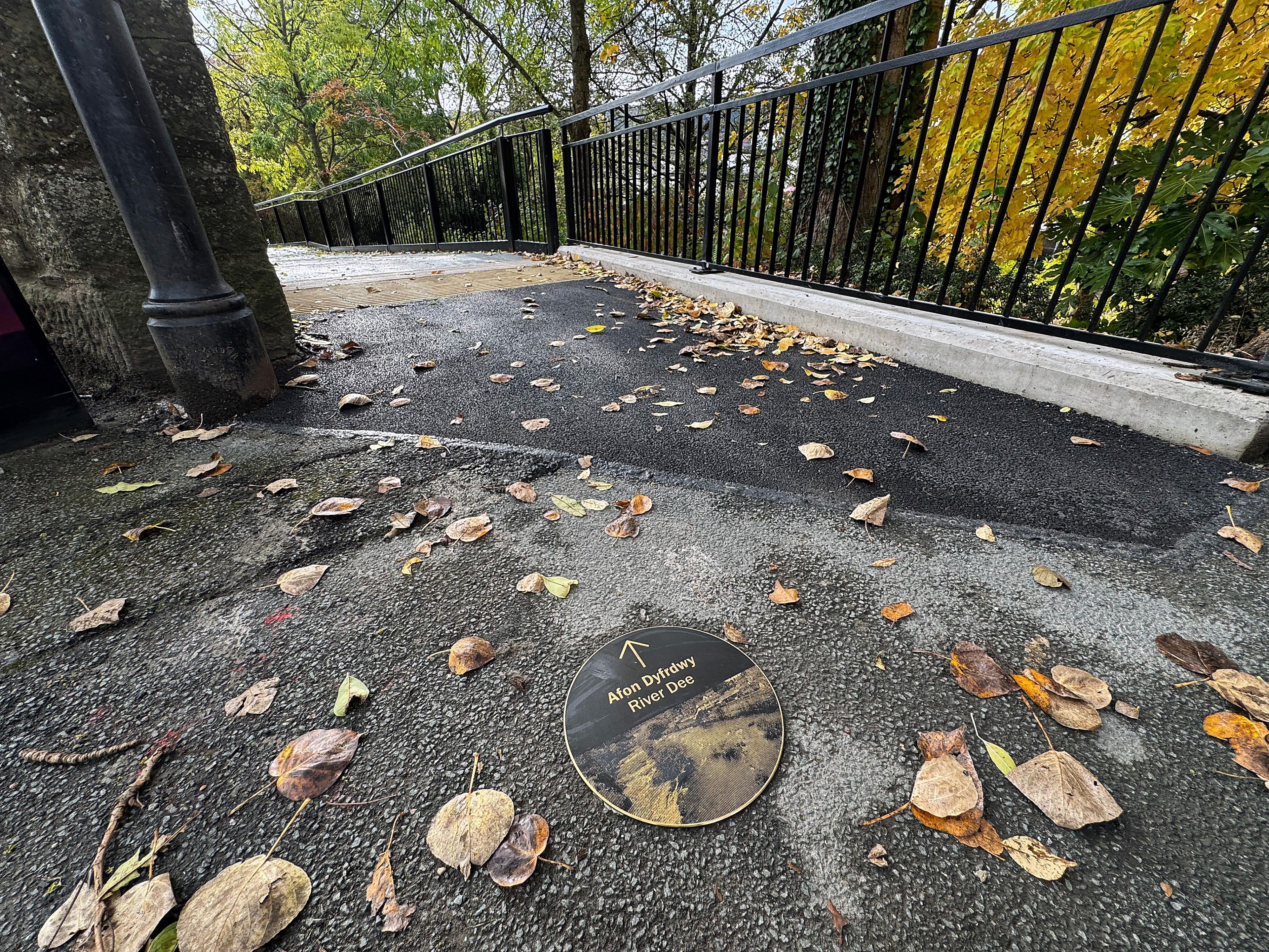
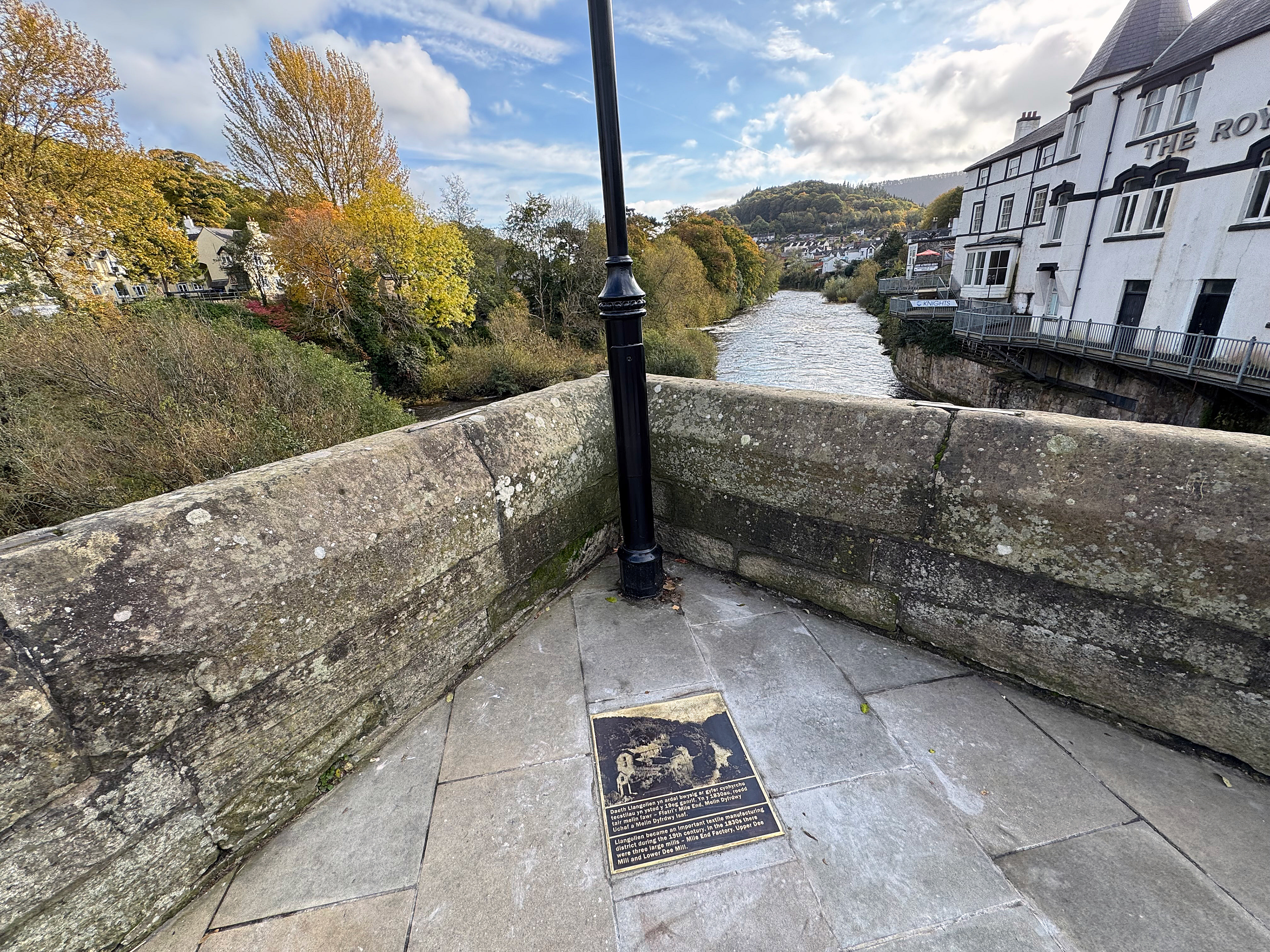
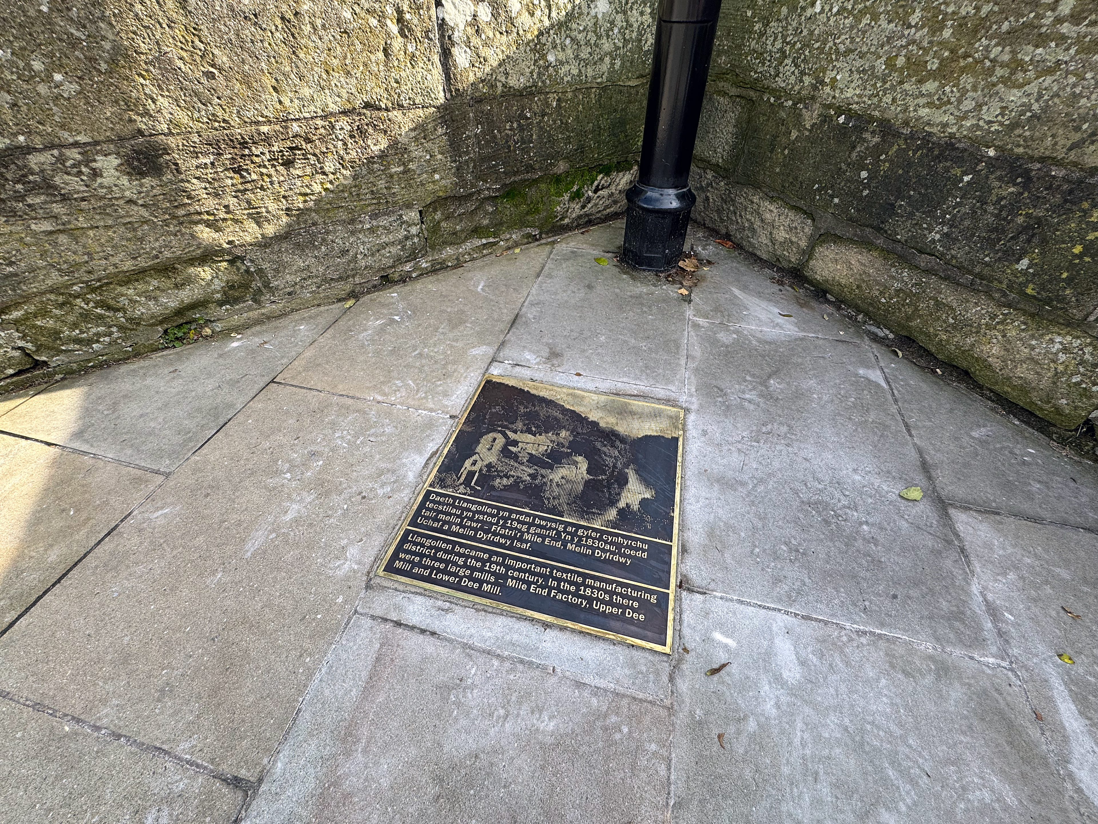
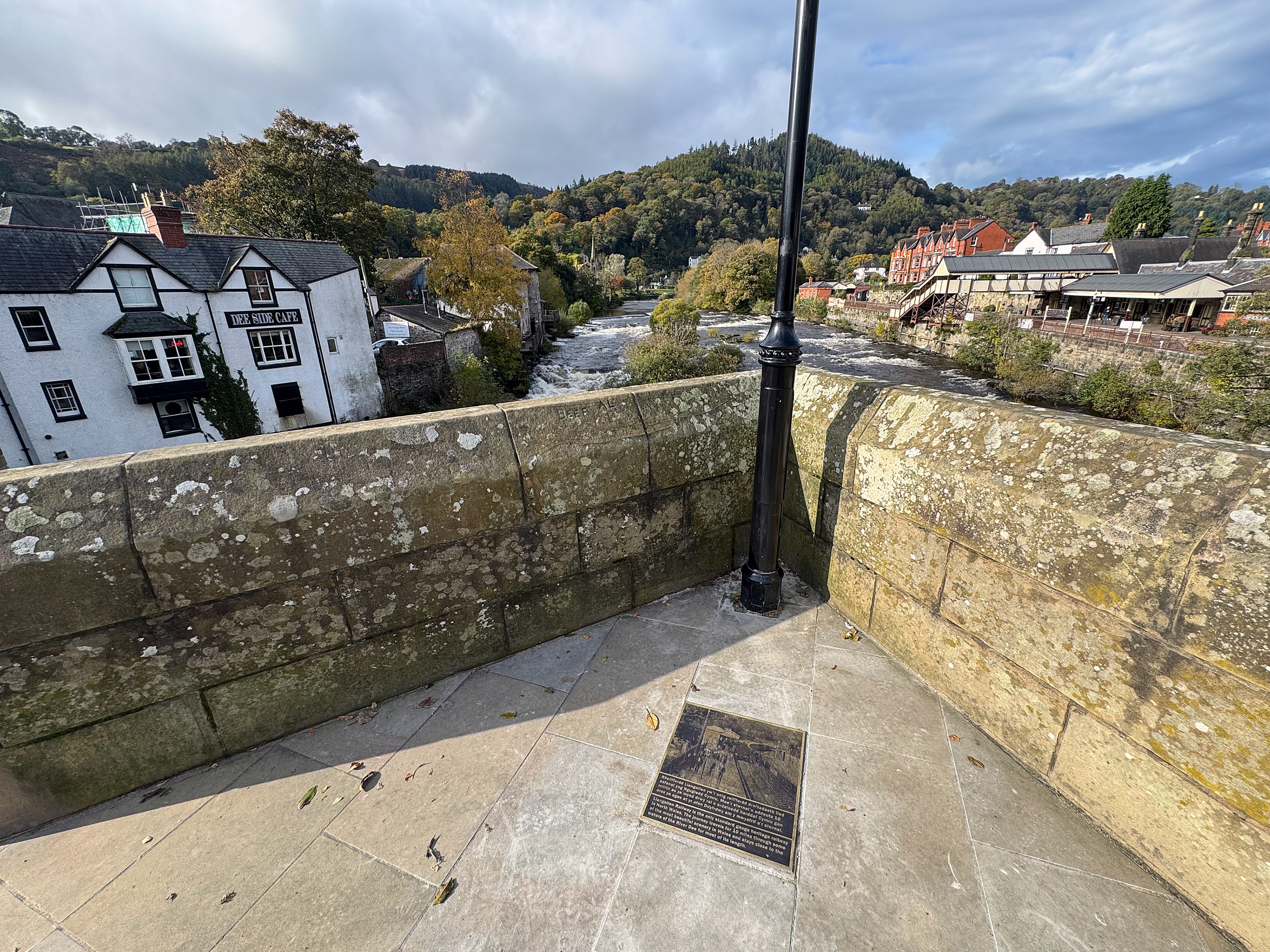
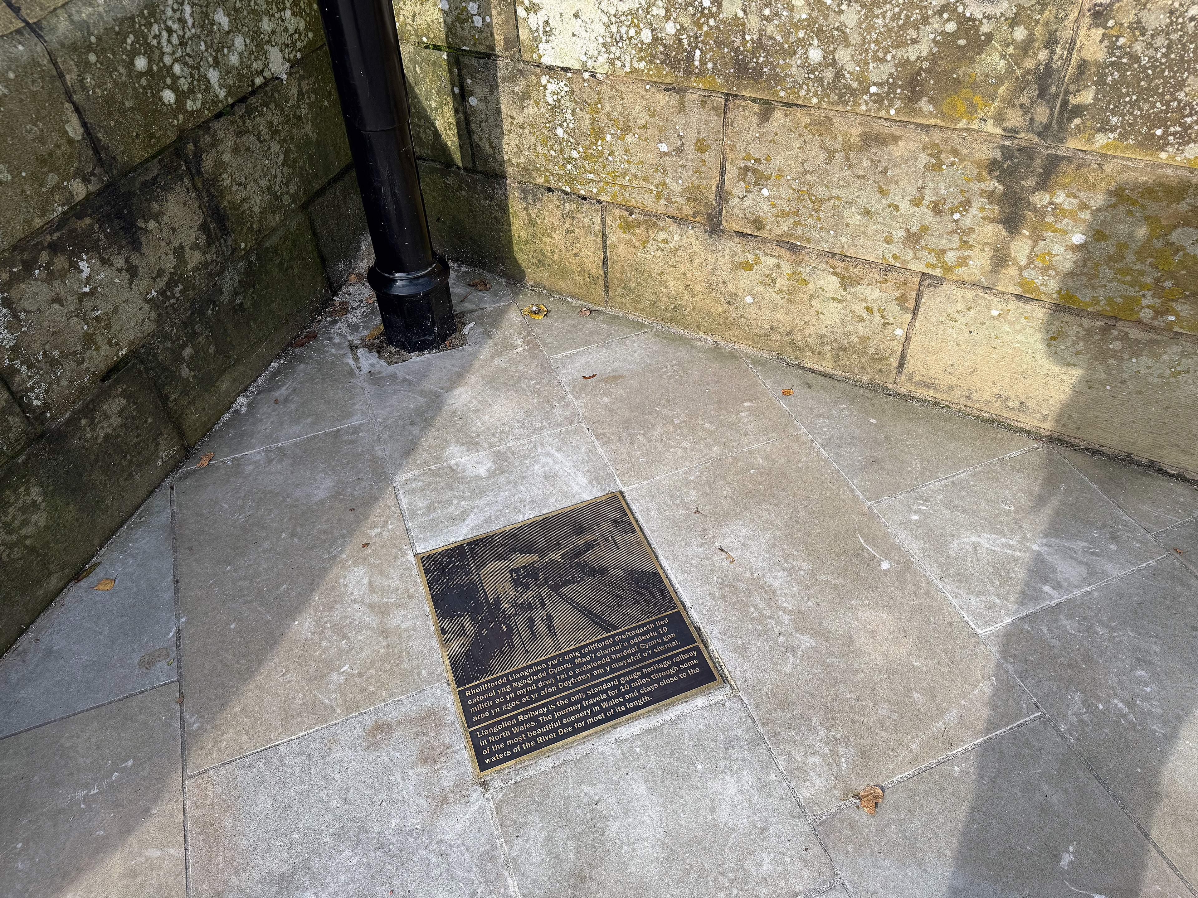
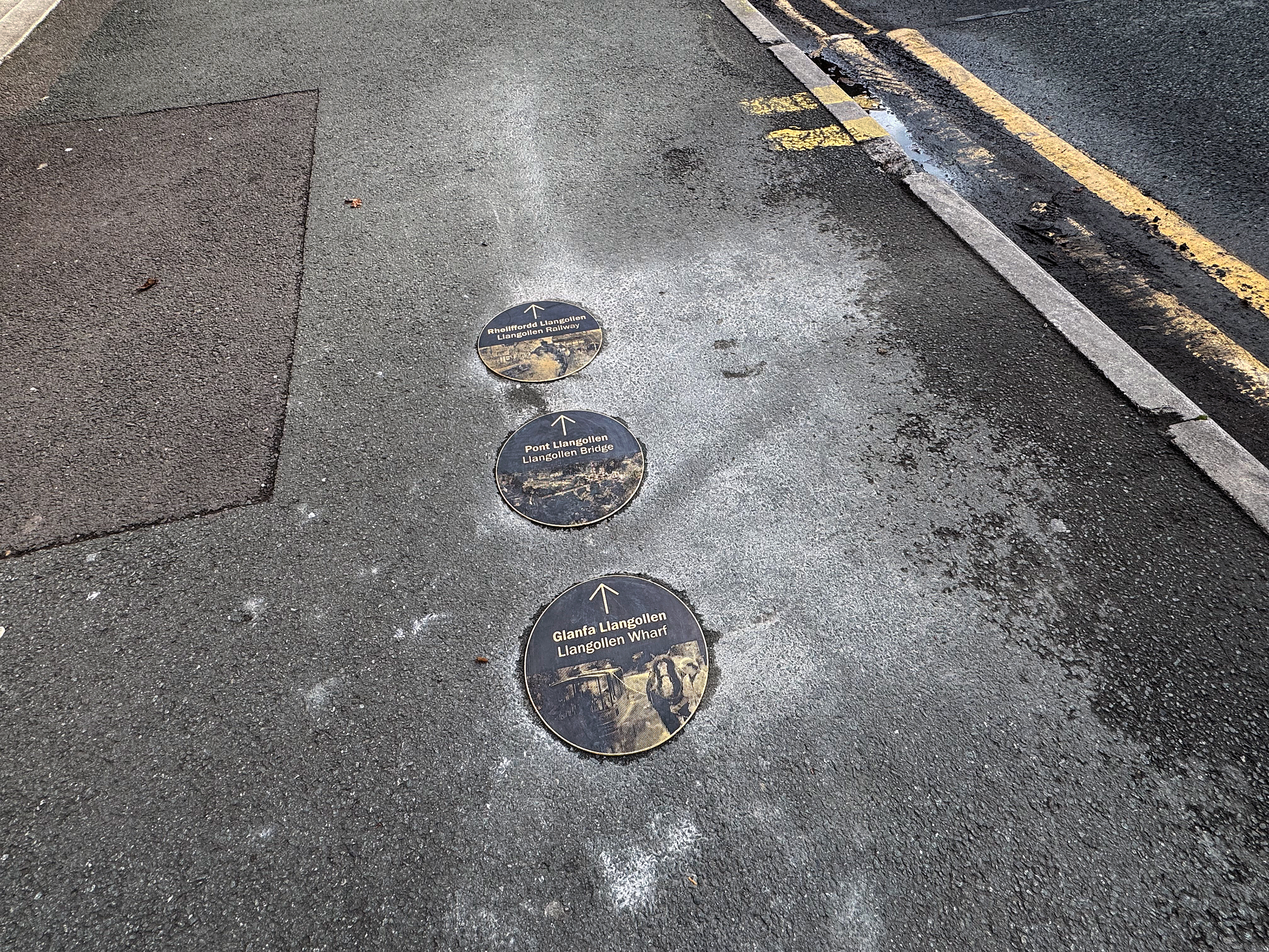
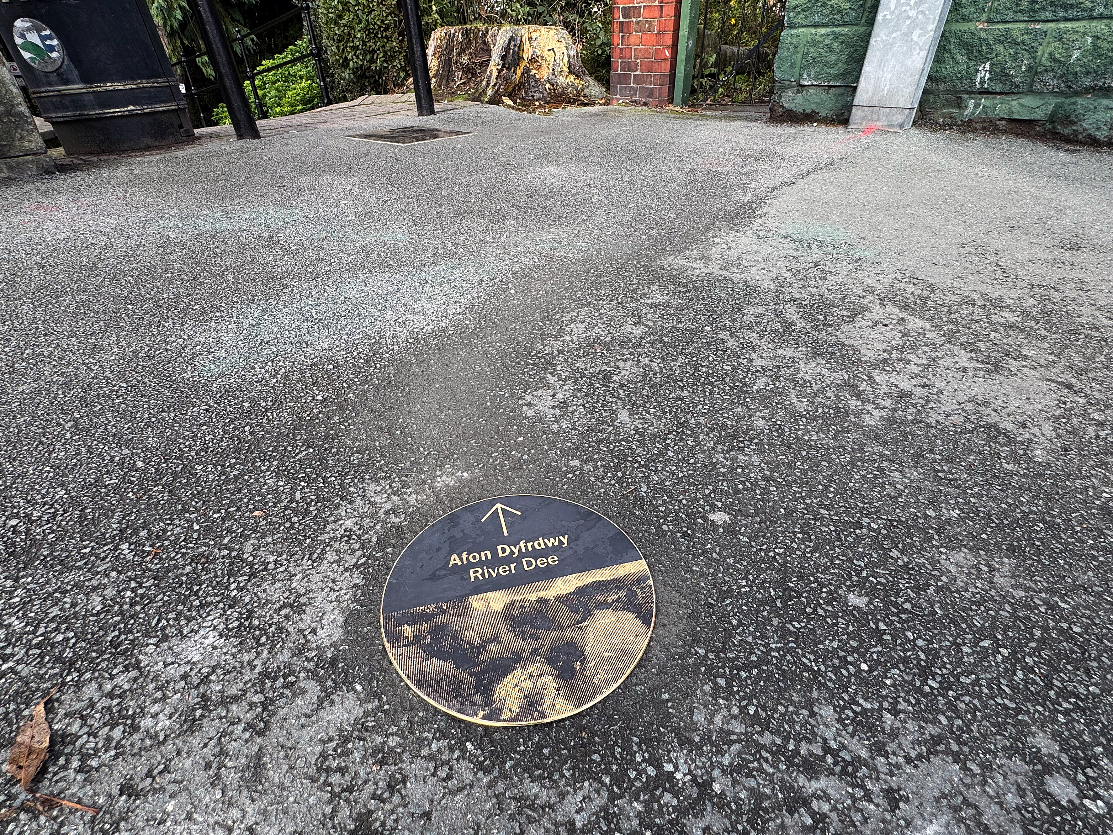
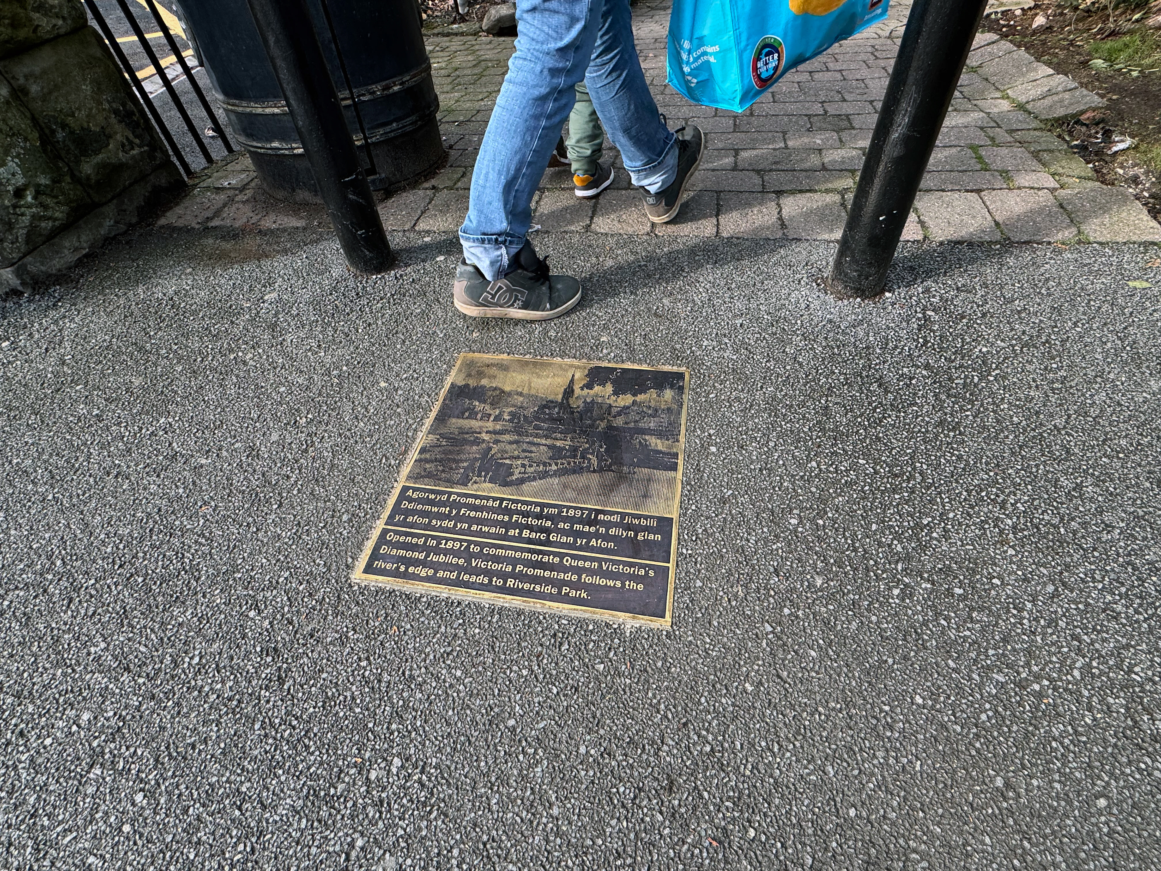
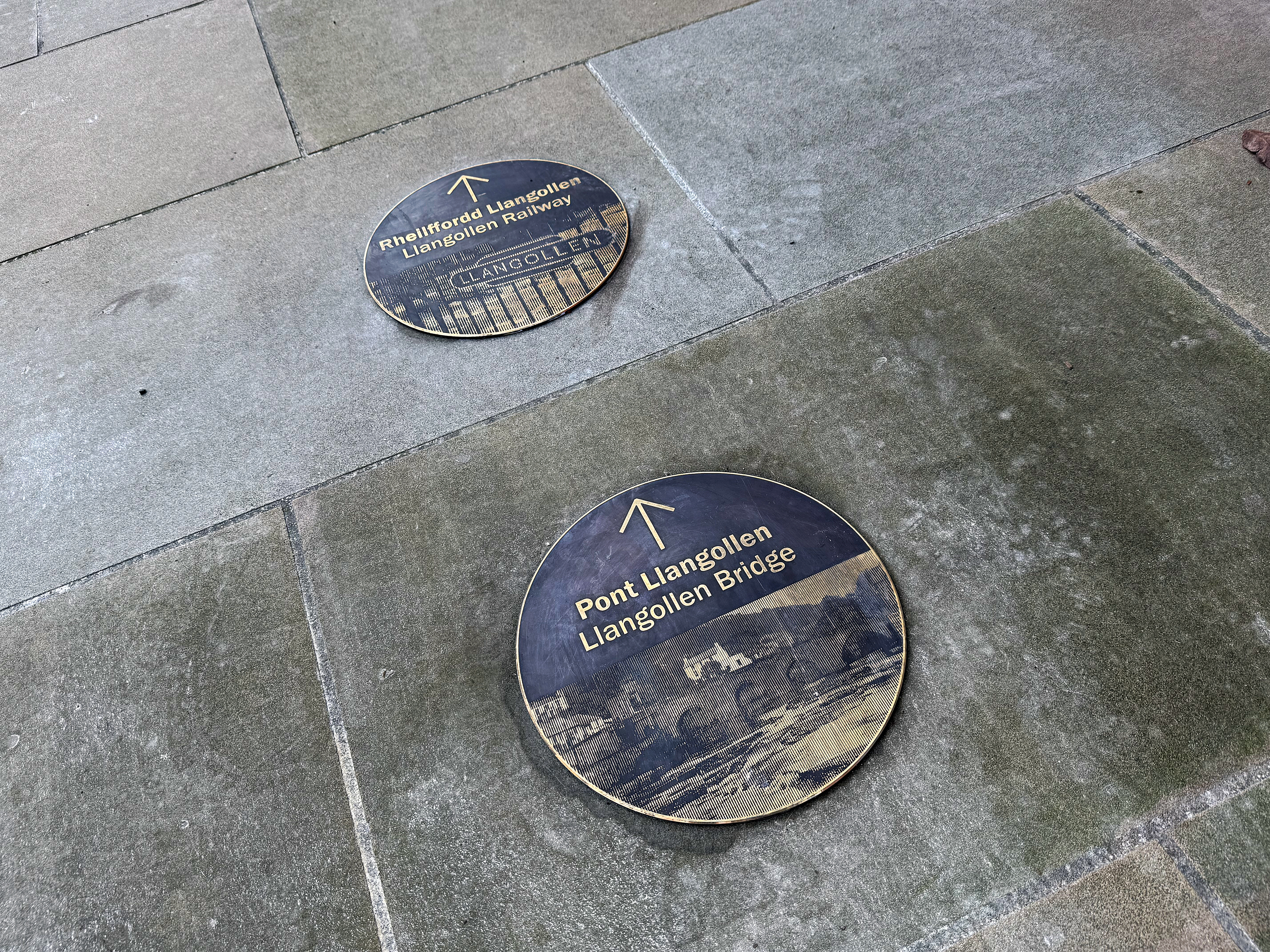
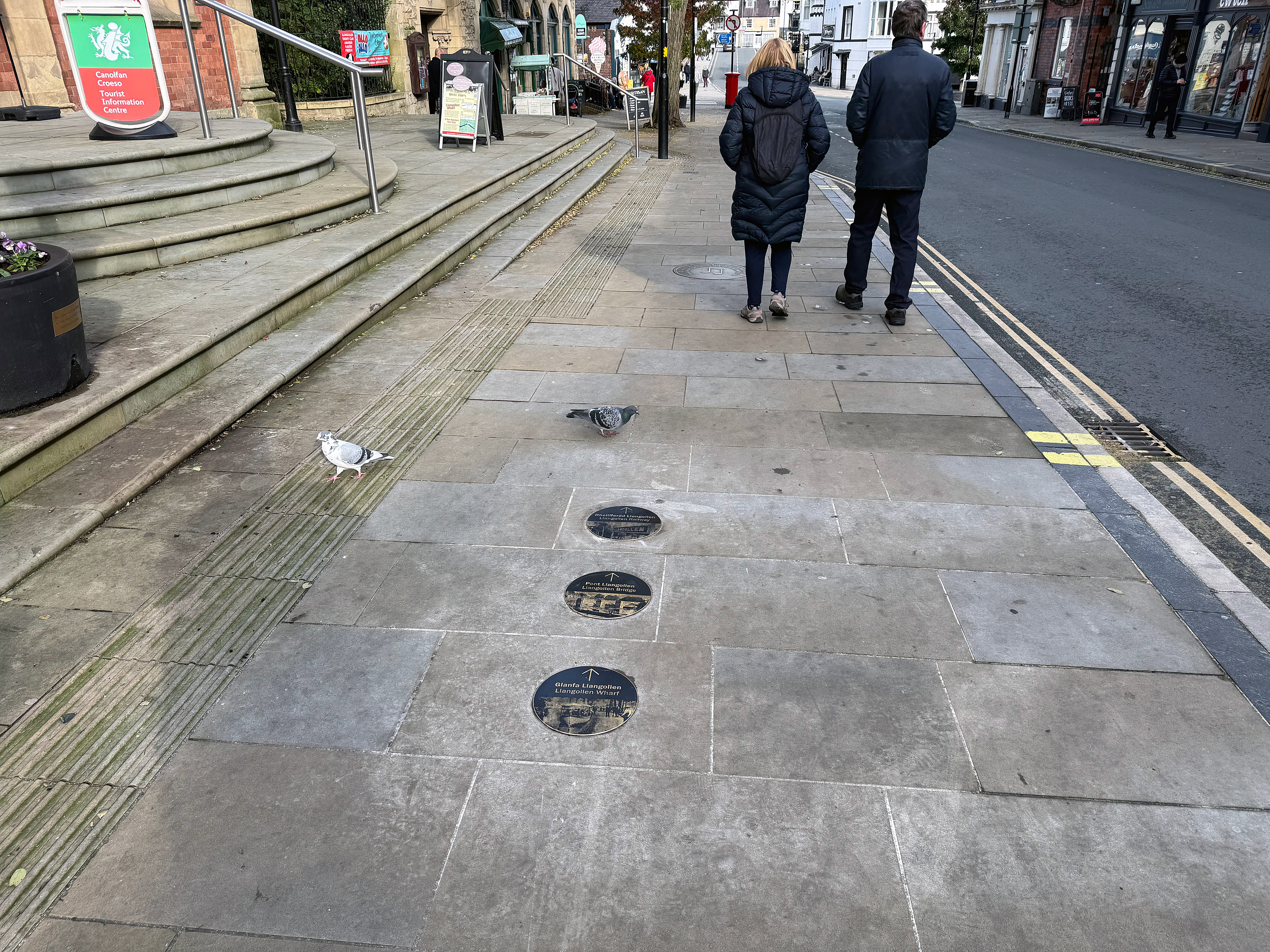
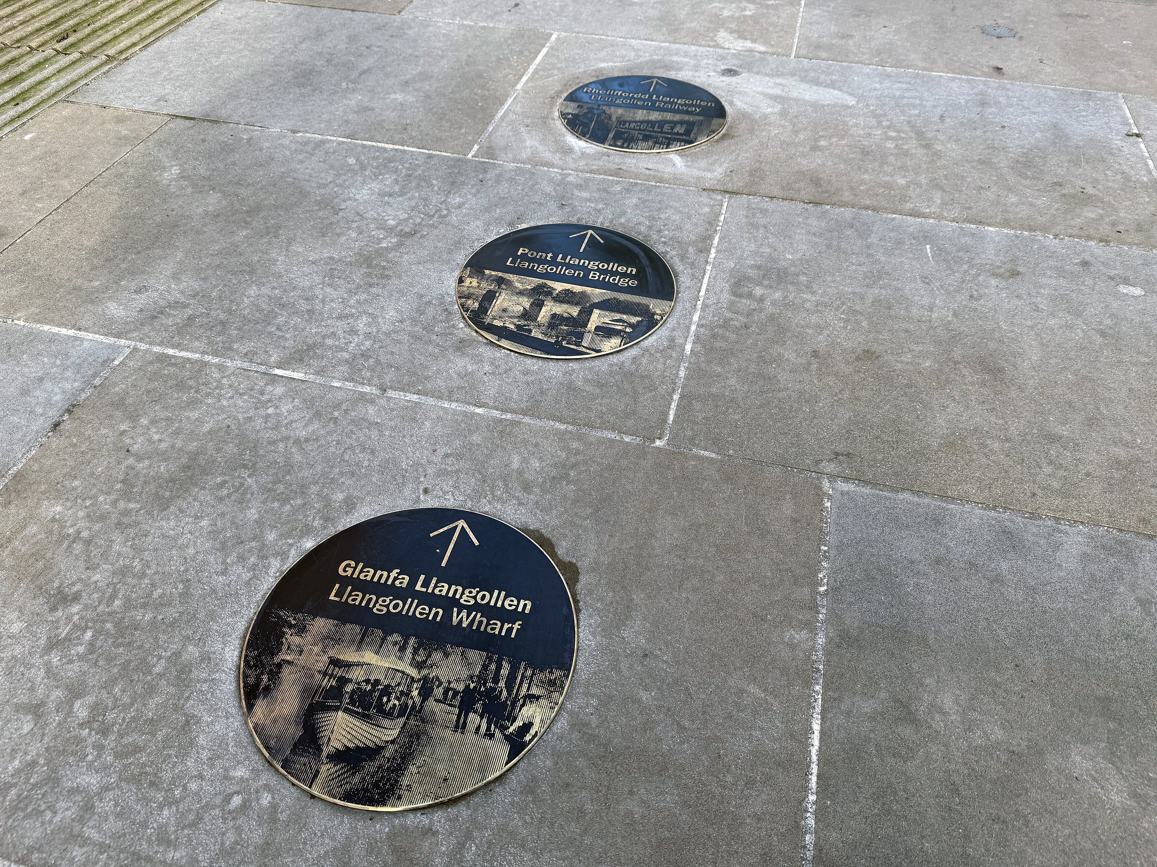
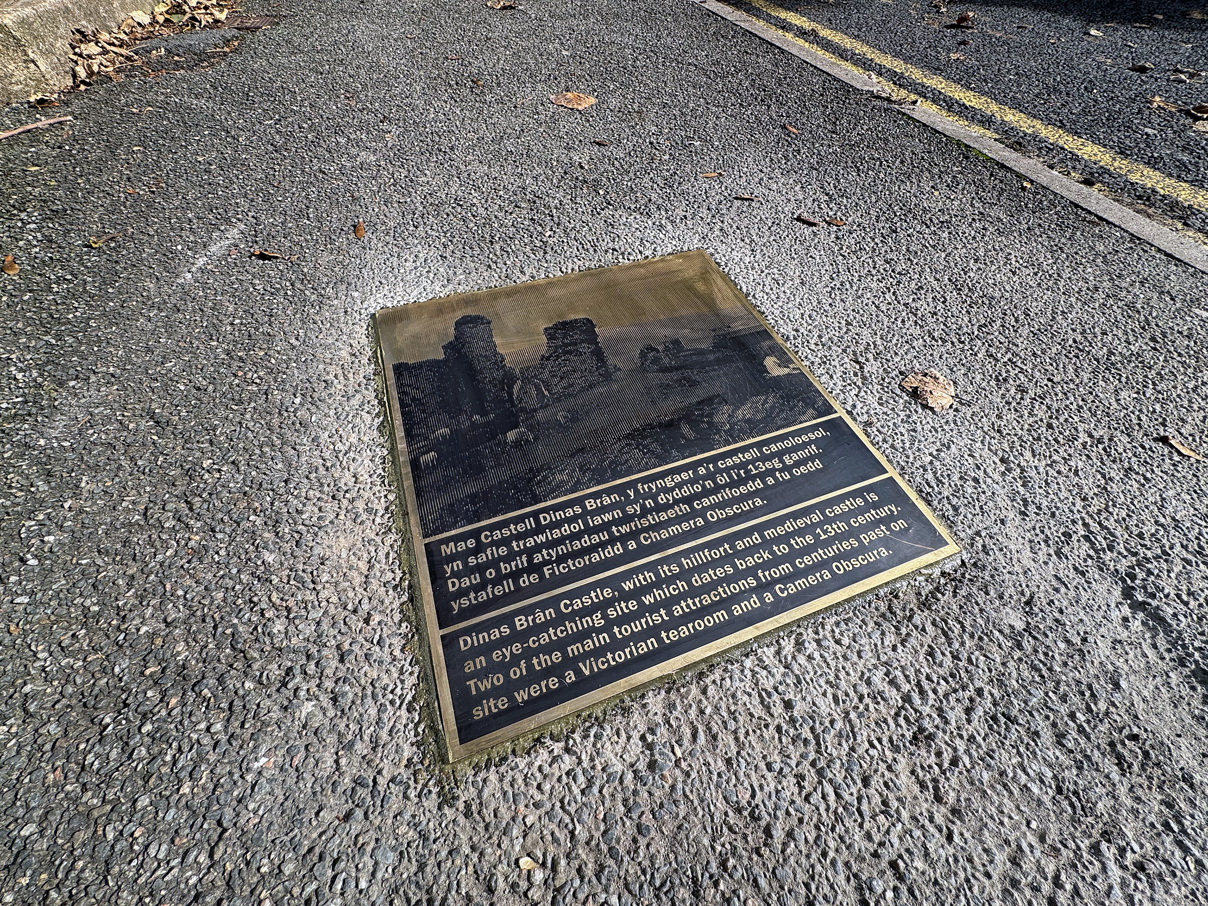
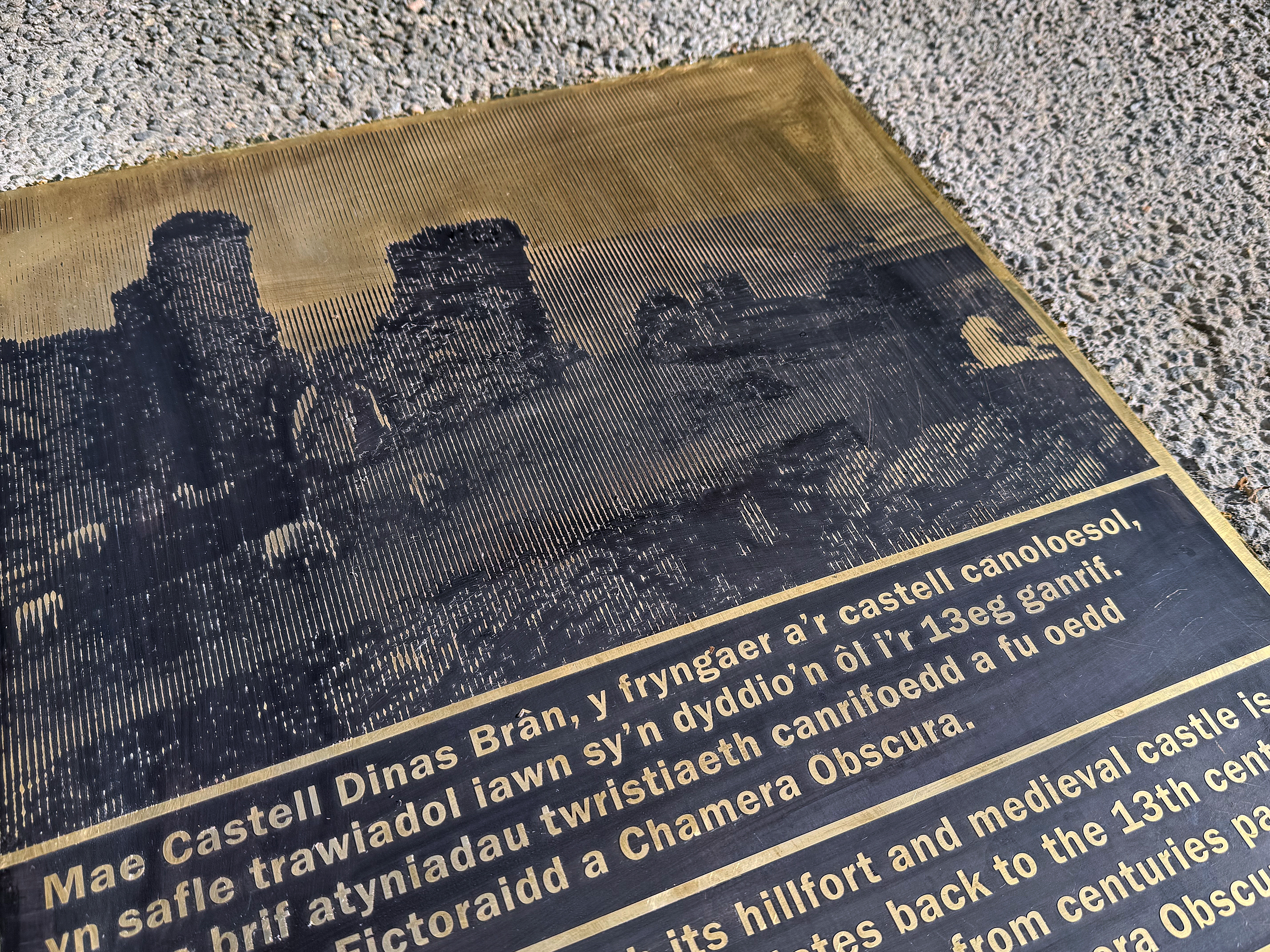
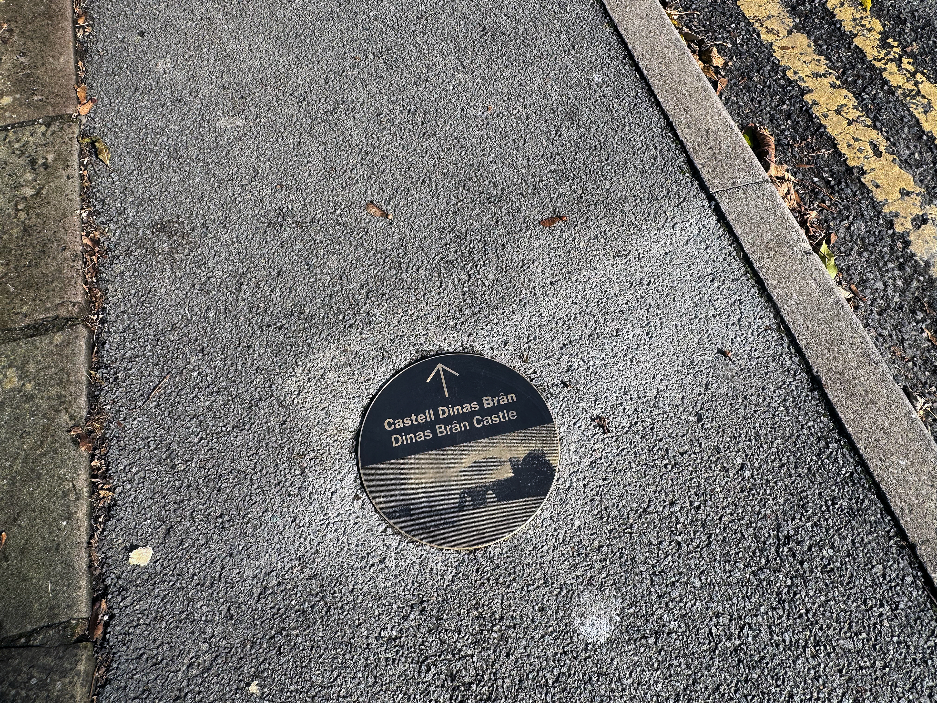
Bronze ground-level ‘breadcrumb’ roundels guide movement through the town using archive imagery linked to nearby destinations, while a series of larger bronze pavers mark places of particular historical significance. QR codes provide access to further visitor information, extended interpretation and contributor credits.
Together, the interventions create a rich, accessible and distinctly local wayfinding experience that connects landscape, history, culture and everyday life.
Client: Cyngor Sir Ddinbych / Denbighshire County Council
Wayfinding, interpretation & environmental graphics: Richard Wolfströme
Landscape architects: The Urbanists
Project management, civil & structural engineering: Burroughs
Fabrication & installation: Standard 8
Wayfinding, interpretation & environmental graphics: Richard Wolfströme
Landscape architects: The Urbanists
Project management, civil & structural engineering: Burroughs
Fabrication & installation: Standard 8